Road Trip Summer 2019 — Part 2

We pick up our story as we arrive in beautiful Anacortes, Washington. 90 miles north of Seattle, Anacortes is the gateway to the San Juan Islands, a beautiful chain of islands connected by the excellent Washington State Ferry System. We were here for family reunion on my wife’s side. This post will cover very little from Anacortes, as that was all family activity, but much more on our drive south through the redwoods and down the California coast. But first, Anacortes.

If you visit Anacortes, you must visit Washington Park. Located at the far west end of the city, next to the ferry terminal, this large park has many hiking trails and accesses to the sound (I suppose it’s the sound and not the ocean, correct me if I am wrong). I went there with my daughters on a nice sunny day and came upon this small crab. He (it?) is in the lower left side of the picture. Remember that you can click on any picture to see a full-sized version.
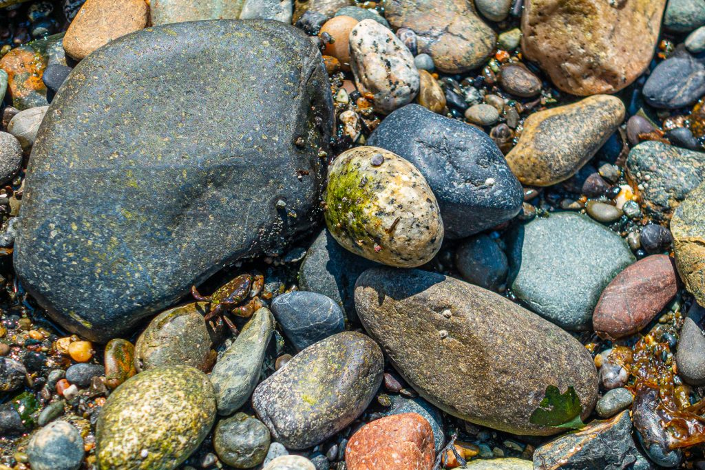
A very small crab amongst the rocks at a beach in Washington Park, Anacortes, WA

For those of you reading from the blog home page, from here I will drop to “read more.” Click through to see a kayak trip, The redwoods, Point Reyes, and Monterey. Here is a teaser picture. If you are reading from a direct link, like from Facebook, then you can disregard this message.
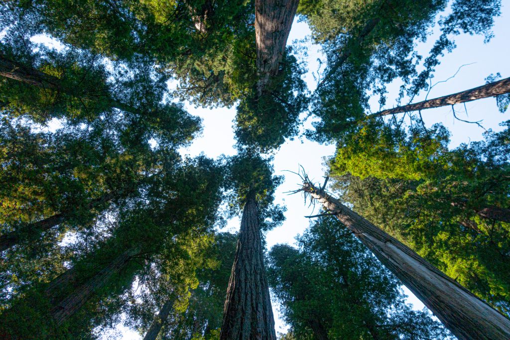
A virgin redwood forest
Continue reading

Road Trip Summer 2019 — Part 1

With a major family reunion planned for my mother-in-law’s 90th birthday, we decided to take two weeks and drive two and from Anacortes, Washington. Our route took us inland on the way north and closer to and along the coast on the way south. This post will mostly be a travelogue and, following my normal practice, I don’t include too many pictures of people. This is my third road trip post, the first being our trip to Anacortes in 2011, the second being an extended return trip from Anacortes in 2017.

We left on a Sunday morning, getting on the road around 8:30am. We went north through the San Fernando Valley, then merged on to the Antelope Valley Freeway, CA-14 in Sylmar. From there passed through Palmdale and Landcaster, stopping for gas in Mojave. This was a day for distance. After passing through the beautiful Red Rock Canyon State Park, we merged with US-395 where CA-14 ends just outside of Inyokern. Lunch was in Bishop, where my wife took over driving. When we passed through Independence, it was too early to have lunch at the Still Life Cafe, a remarkable French restaurant in this small town (population 660).

The terrain, which had started off with the coastal mountains, moved to the Mojave Desert and the arid and spectacular eastern Sierra Owens Valley, began to switch to pine and meadows. Mono Lake is beautiful I finally took a picture just outside of Bridgeport, California, 360 miles after departing Los Angeles.

Livestock along US 395 outside of Bridgeport, CA

You climb out of this valley, into a pine forest before turning northward towards Nevada. After you turn north, the highway follows the West Walker River. It flows down into another Antelope Valley, by the small town of Walker, feeding Topaz Lake and ultimately Walker Lake in Nevada. There was still plenty of water in the river from our generous snow-pack this year.

The West Walker River at the Shingle Mill Flat picnic area

We stopped at the Shingle Mill Flat picnic area to stretch our legs and see the river.

The West Walker River at the Shingle Mill Flat picnic area

It was then just a few more miles to Topaz Lake and the Best Western Topaz Lake Inn. With the conclusion of our first day, I will drop in the “continue reading” break and hope that you look at the pictures ahead from Crater Lake and Hood River. More to come next month in part 2.

Continue reading

Matheran, Maharashtra, March 2019

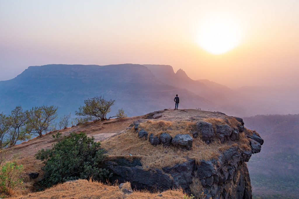
This Spring the team took a return trip to Matheran, reprising our visit from three years ago. Matheran is an eco-sensitive hill station 56 miles (90 km) east of Mumbai at the edge of the Western Ghats. Hill stations are towns at higher altitude than the surrounding area. Matheran is at about 2,600 ft (800 m) above sea level and Wikipedia tells us that “Matheran” means “forest on the forehead.” Hill stations are popular tourist destinations as they are generally cooler than the cities. To get you interested, here is a picture from Louisa Point where we went to see the sunset. Note that clicking on a picture will bring up a full-sized version.

A man watches the sunset from Louisa Point

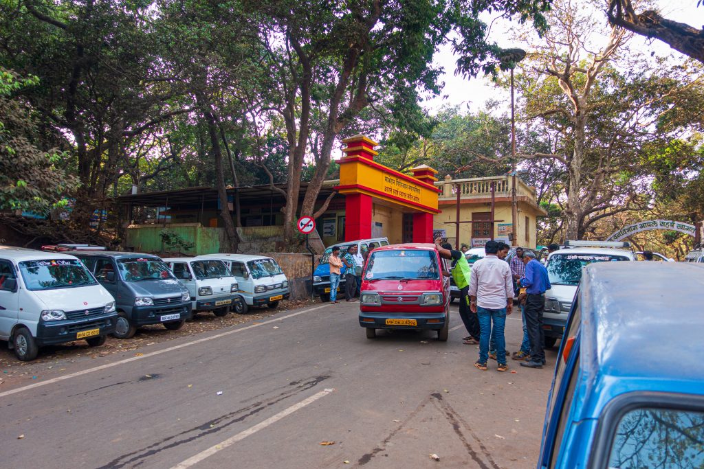
Matheran’s status as an eco-sensitive hill station means that development is restricted. No cars are allowed beyond the Dasturi parking area a mile or so from the main village. Travel into the village is either on horseback or on a narrow-gauge railroad. We drove up to Matheran in several cars, arriving at the parking area by late afternoon.

There is constant activity at Dasturi car parking

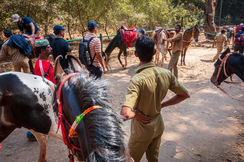
Our host had arranged for horse transportation. We assembled the group and headed off to our hotel.

The group mounts up on our horses
Continue reading

Adalaj Stepwell, Gujarat, March 2019

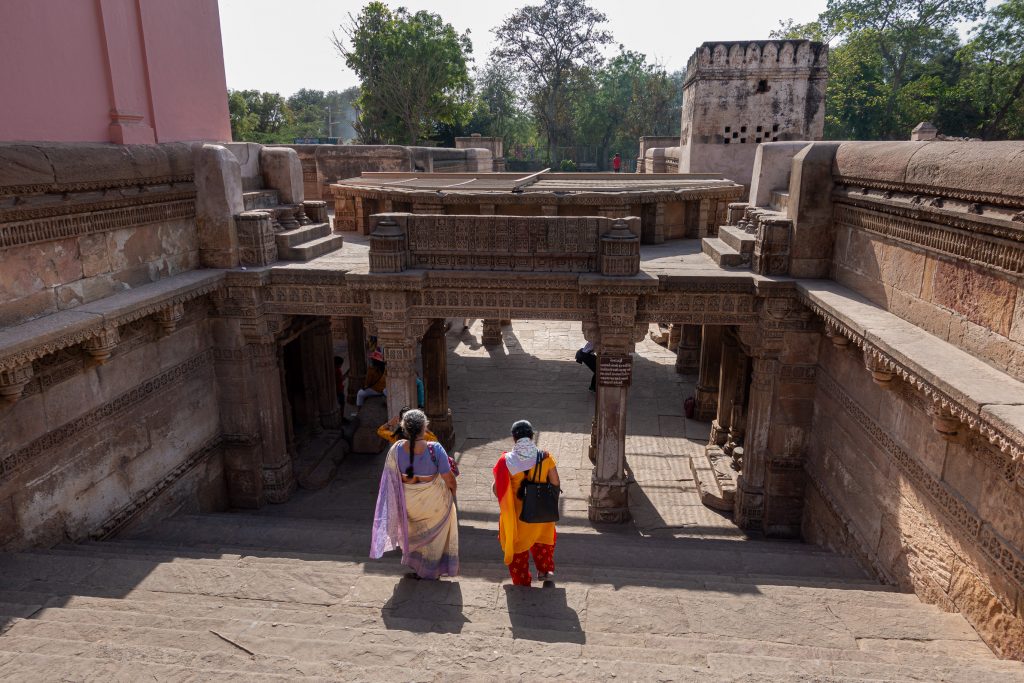
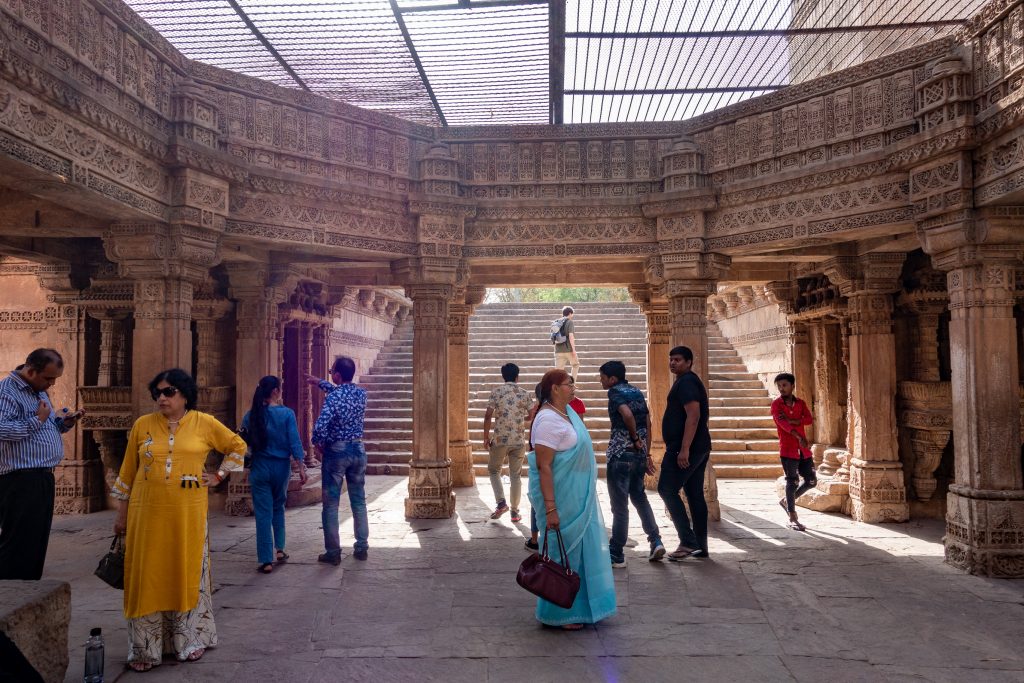
On my last trip to India, when I was in Gandhinagar, we left the office a little early to do some sight-seeing. We visited the Adalaj Stepwell, a stepwell built in 1498 by Queen Rudadevi in memory of her husband, Rana Veer Singh, king of the area at the time. Stepwells, large pits cut into the ground or rock, collect water from monsoon rains and are common in the arid areas of India (Wikipedia). One reaches the water by descending steps down into the well, hence the name stepwell. Two ladies are stepping down into the well in this photograph. (Click on any picture for a full-sized version.)

Heading down the steps into the well

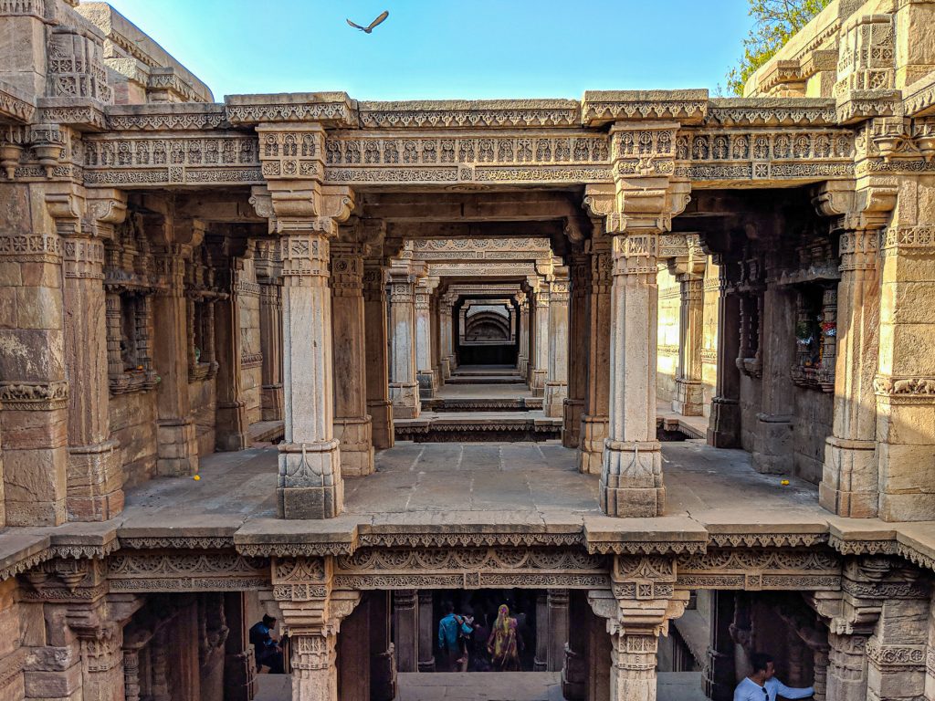
There is a legend about the building of the well. The Hindu king Rana had planned to build a well at this spot, but the project was interrupted when he was attacked by the neighboring king, Mohammed Begda, and killed in battle. Queen Rudadevi wanted to join her husband in death but was forbidden to do so by Begda. Begda offered her marriage and the queen agreed on the condition that Begda complete the well. It was quickly built. At the dedication of the well, the queen threw herself into the well, drowning. The rotunda of the top level of the well shows the intricate carvings that cover the interior of the well.

There are beautiful carvings all over the interior of the stepwell

The five-story deep well had little water as I was visiting at the end of the dry season. This is a view of the fifth level with a bird flying above.

A bird flies above as we look across the top level
Continue reading

Mulshi Lake, Maharashtra, October 2018

Last October, I was able to take a nice overnight excursion to a small resort on Mulshi Lake, near Pune, about a 100-mile (165 km) drive from the Grand Hyatt in Mumbai. We departed from the hotel just before lunch, having just arrived from Ahmedabad that morning. Our route took us on the Mumbai-Pune Expressway and we left early enough that the traffic was not bad.

Our travelling group took several cars, each leaving from different locations. Our past trips of using a bus taught us that the logistics of getting everyone to one location to start, along with the slow pace of the buses themselves, make a car trip more practical. India has a relatively new policy that requires for-hire cars to have a speed governor that limits the maximum speed to 80 KPH (50 MPH). Our driver’s car did not have a governor. There were several times we wished it did, as he drove very fast and aggressively. It kept us alert.

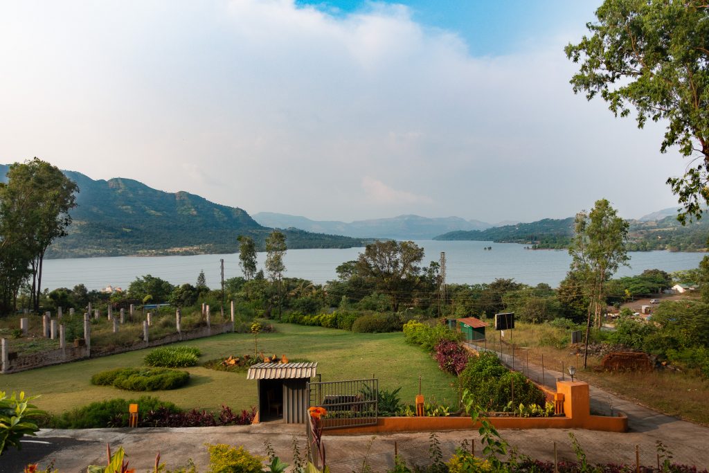
Upon reaching the outskirts of Pune, we turned off the highway and headed southwest, navigating the difficult Pune traffic. Once out of the city area and into the country, the traffic lightened up, but the road significantly worsened. It was a bumpy ride but quite scenic. After a couple of hours of driving, we arrived at the Residency Lake Resort & Spa, our accommodations for that evening. The resort is about 2 miles (3 km) past the Mulshi Dam. The view from the resort is quite pleasant.

The Residency Lake Resort and Spa on Mulshi Lake had a nice view of the lake

Mulshi Lake holds about 42,420 acre-feet of water (per Wikipedia 0.0523 km3 [0.0125 cu mi]). An acre-foot is the amount of water that would cover an acre (0.405 hectare) to a depth of one foot. It is about 325,853 gallons (1,233,489 liters), the approximate amount of water a US household uses in a year. For comparison, Shasta
Lake
, the largest reservoir in the California State Water project, can hold 4,552,000 acre-feet. Mulshi Lake is about the same capacity as the Ice House Reservoir on the American River west of Lake Tahoe. Since the monsoon had just finished when we were there, Mulshi Lake was very full.

Mulshi Dam produces power for Pune with a 300 megawatt power plant run by Tata Power. It was built in the 1920s.

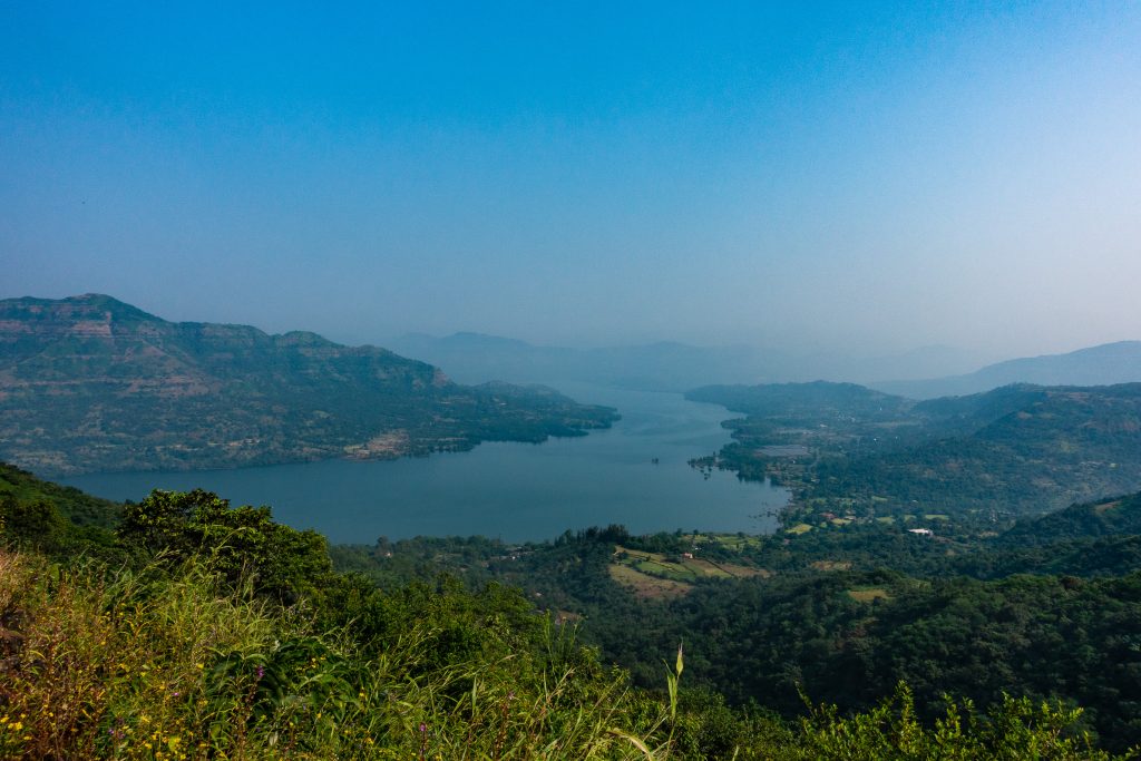
Here is a shot of Mulshi Lke from our hike the next day, and the teaser to get you to keep reading beyond the fold.

A final view of Mulshi Lake as we head down the hill
Continue reading

Valentine’s Day Storm: Damage in Aguanga

On February 14th, 2019, 4.6 inches of rain fell in Lake Riverside Estates in less than 24 hours. I was able to watch the storm on security cameras as it progressed. It ended up causing some serious damage to the drive and our hillside. It also took out a large cottonwood tree. This post chronicles the events of that day and our cleanup almost a month later.

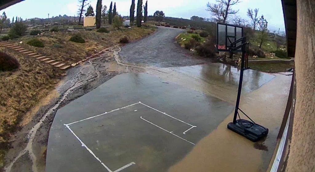
Up through noon on Valentine’s Day, things seemed under control. There was some mudflow but the brow ditch on the hill between the upper and lower drives seemed to be holding up OK. There was some flow from the upper part of the ditch which indicated a weakness, likely caused by a squirrel burrow. This picture was taken at 12:44pm. As of 12:30, almost 3.5 inches of rain had fallen — most of the total for the storm.

Things appear under control, but the mud coming down indicates that a larger flow is ahead. 12:44pm and the tree is standing.

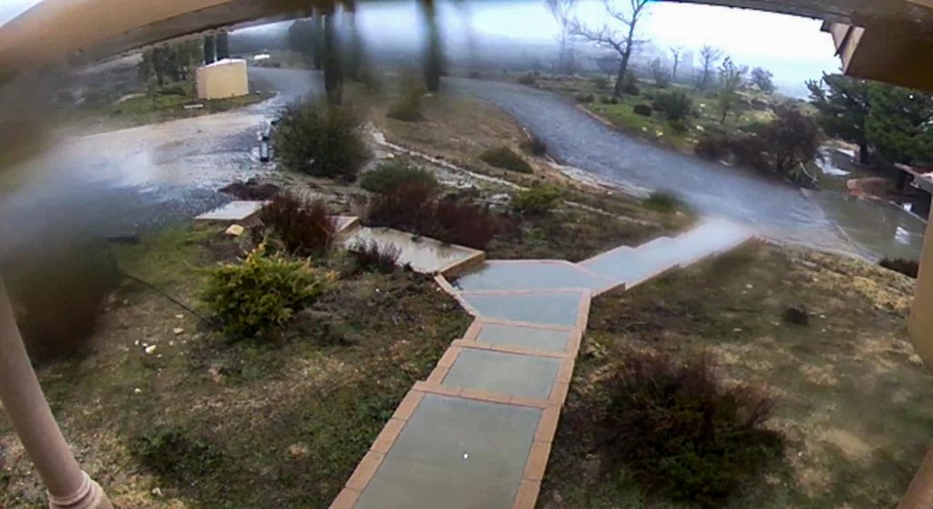
This picture shows the upper driveway at 11am. There is a lot of water coming down from the lot above the house, but at this point the brow ditch, seen in the middle of the frame, is handling the water flow well. Note the large tree in the middle of the frame. As in the previous picture, there is some errant flow down the hill at the upper end of the brow ditch.

You can see the brow ditch full of water, doing its job. But the breach at the upper end has already started.

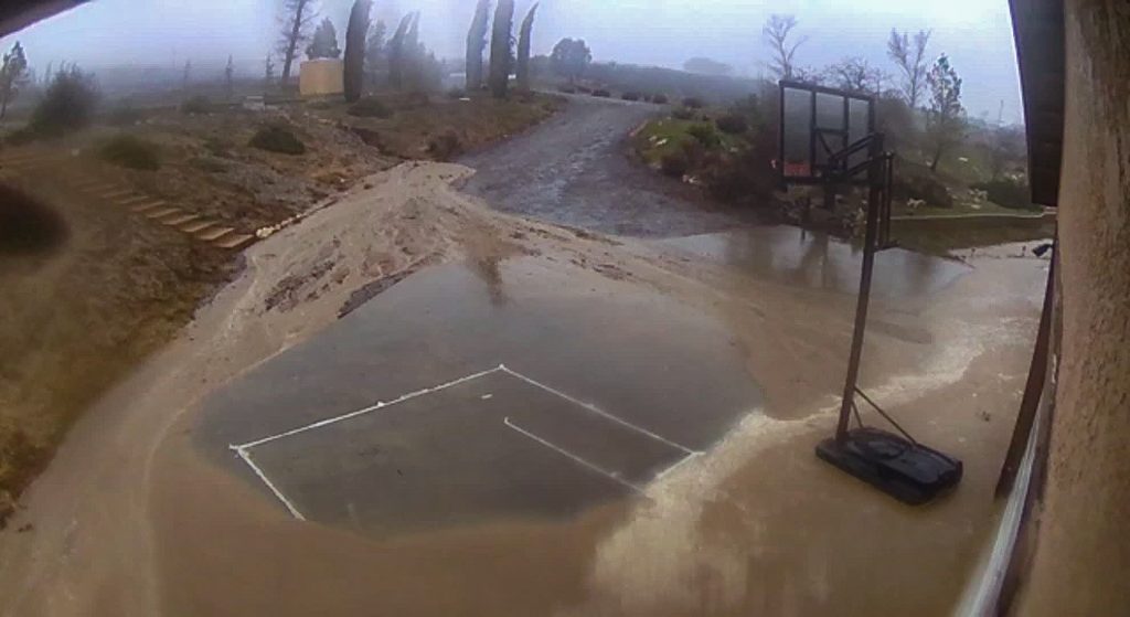
Shortly after noon, the storm got much worse. The wind came up with a gust of 34 miles per hour. The rain rate topped 1.1 inches/hour. The flow of water from the lot uphill and to the west from us became overwhelming. Water flows down Lakeshore Boulevard and onto Osage Court. In this storm, the bulk of the water flowed across Osage Court, into the lot above us, and down onto our driveway. This next picture is at 1:47pm. Note that the tree behind the basketball hoop is gone and the hillside has been breached with a major mud flow coming down across the driveway.

The brow ditch is fully breached and the tree has fallen. 1:45pm.

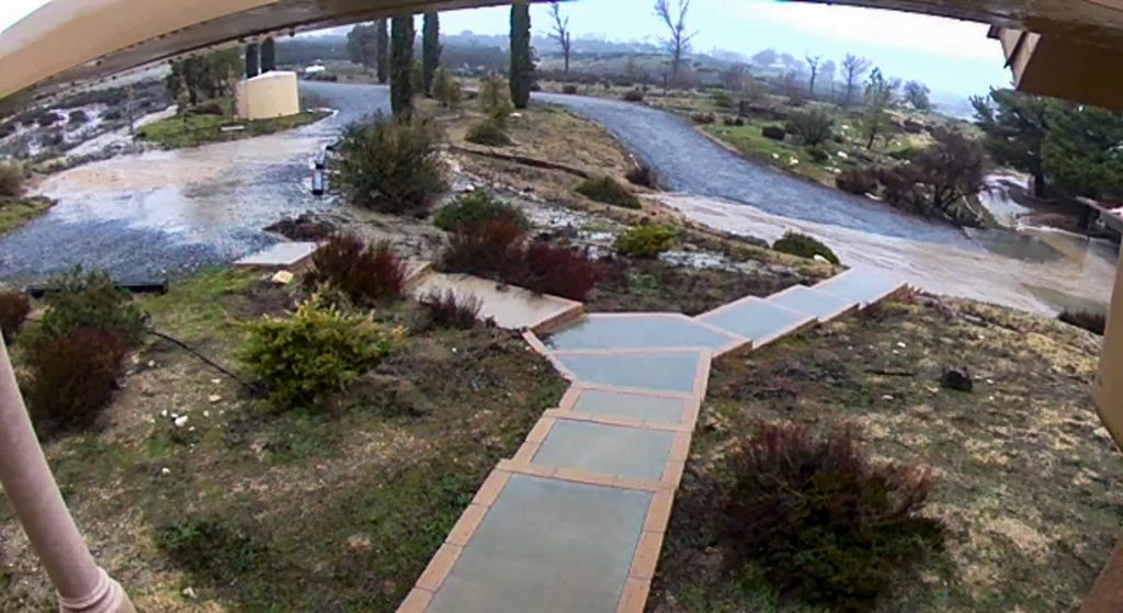
This picture was taken at 3:50 pm. Most of the rain had fallen with only .3 inches more to go in the storm at this point. The tree is clearly down. There is still substantial flow of water from up the hill.

The tree is down and the damage from the water flow from uphill is apparent. 3:51pm.
Continue reading

Dusshera in Ahmedabad, October 2018

On my trip to India last October, the itinerary covered the last days of Navratri, a major festival across India. Navratri means “nine nights,” the last night being a special celebration known as Dussehra. I was in Ahmedabad, Gujarat on the last day of Navratri and was fortunate to experience the very special celebration they have in Gujarat.

According to Wikipedia, There are four Navratris in a year, with the one in the fall, post monsoon, being the most celebrated. The fall Navratri is linked with the goddess Durga and the festival of Durga Puja is at a similar time. Durga is known as a great victor of good over the forces of evil, and Durga Puja celebrates her victory over “the shape-shifting, deceptive and powerful buffalo demon Mahishasura.” [Wikipedia] Rama is also honored at this festival time for his victory of good over evil.

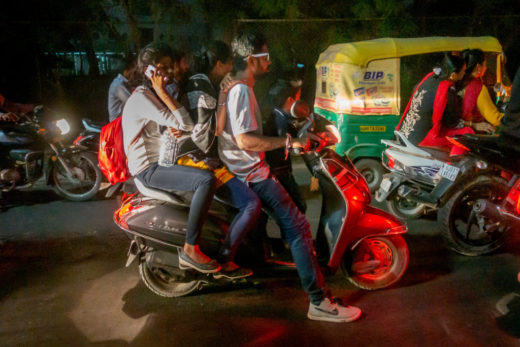
In Gujarat, in northwestern India, a form of dance known as Garba is performed as part of the festival. This practice has spread to many parts of India, but it is particularly celebrated in Gujarat. People dress in elaborate and colorful clothing and dance in a large circle. Venues across the city host these dances on large fields. My hosts had arranged for us to attend the celebration at the Rajpath Club, a private club in Ahmedabad. Along the way I got this picture of a well used two-wheeler with four people on it and one on her phone.

Four people on a two-wheeler, and phone on ear

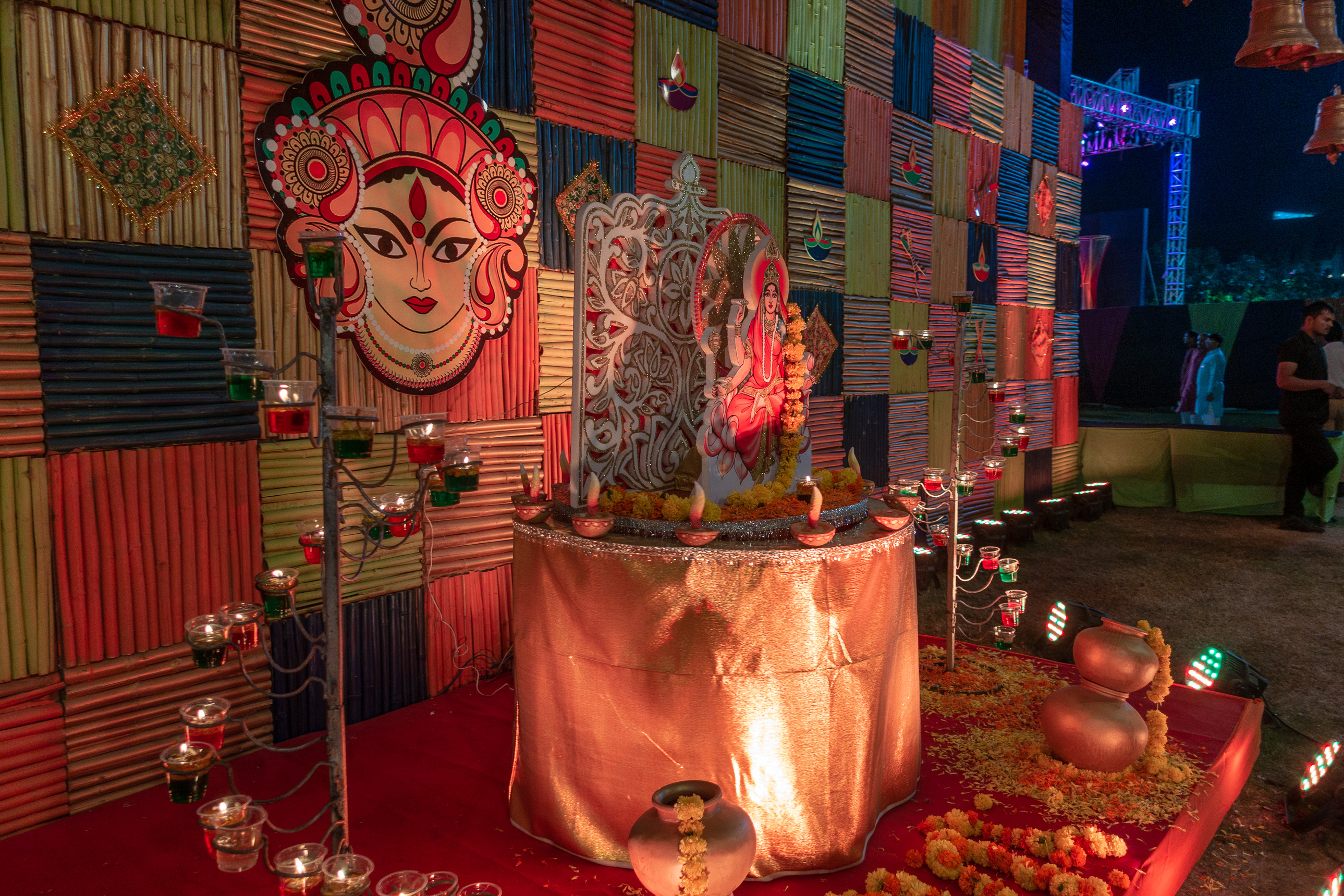
The festivities were well under way when we reached the club facilities. Just outside the dancing area (a large field) there was a small shine to Durga.

The Goddess Durga shrine at the entrance to the celebration area

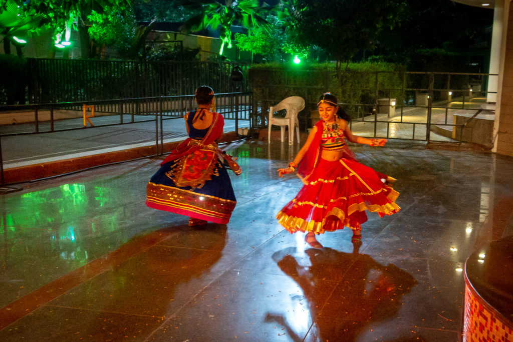
Two young ladies were dancing outside. You can see how elaborate their outfits are.

Colorfully clothed dancers outide the celebration field
Continue reading

New Year 2019

We were out in Lake Riverside over the change of the year, and had a fine time. The highlight of the stay was New Year’s Eve and New Year’s Day. We started off relatively early to visit the The Living Desert, a wonderful zoo in Palm Desert. It was raining on the drive down the Palms to Pines highway, but the rain stopped before we reached the bottom of the hill.

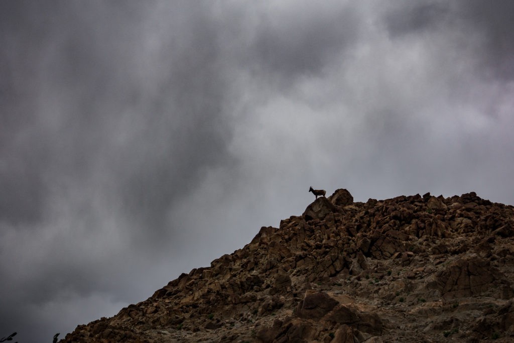
It was cold, however. We walked briskly about the zoo, seeing our usual favorites. In addition to the desert bighorn sheep (or borrego), we saw all our favorites, including giraffes, the leopard, the jaguar, burrowing owl, mountain lion, and many more.

A borrego on the hill at the Living Desert

And of course, we saw the the three cheetahs living at the zoo. These are three sisters out of a litter of five (the two males have been placed at other zoos for breeding) and are about four years old.

The three cheetah sisters at The Living Desert

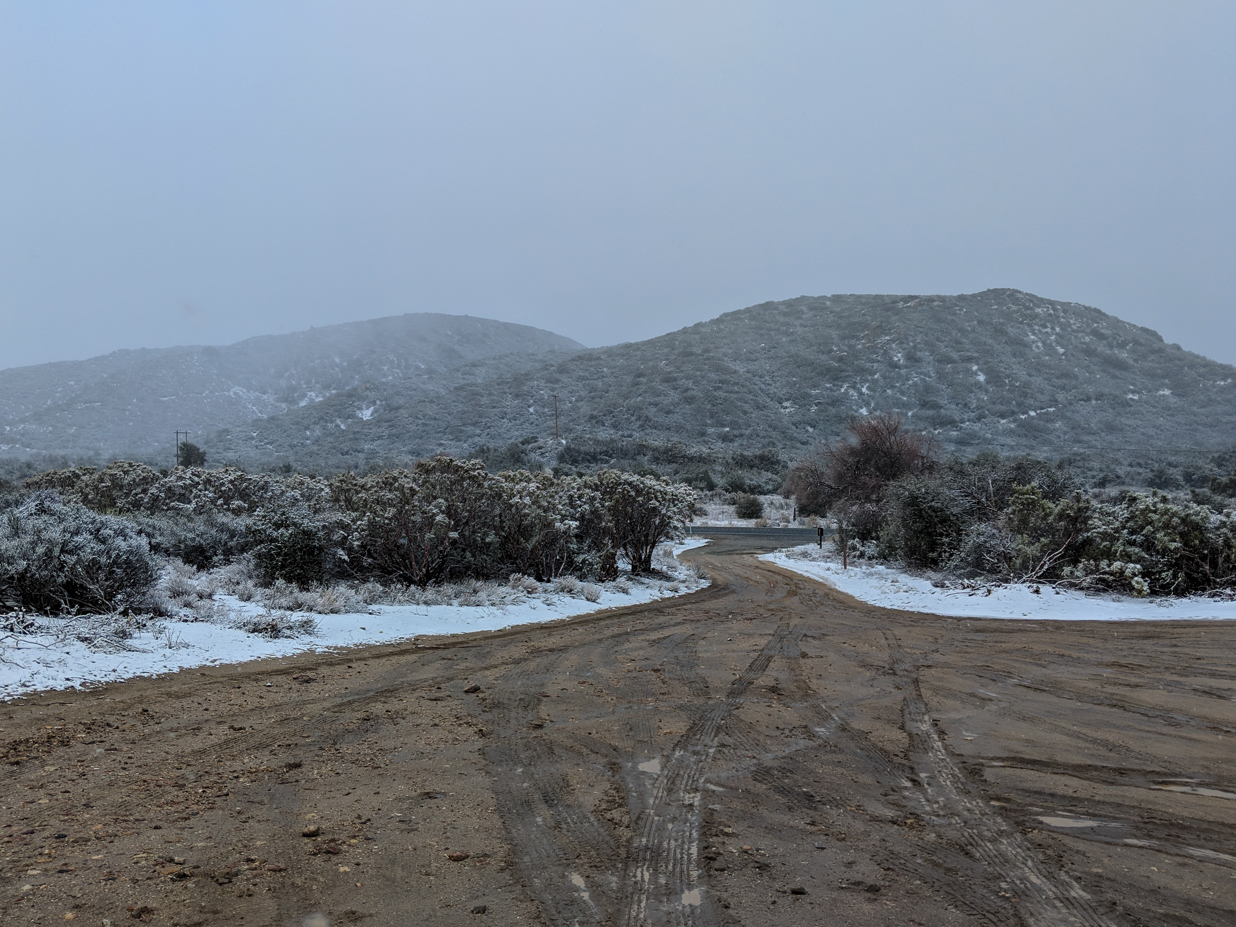
The real fun started on our return drive. As we started up the hill, we drove back into the rain. We could see up on higher slopes that it was snowing. Shortly after passing the Royal Carrizo / Pinyon Crest turnoff, it started snowing around us. Great excitement. As we got closer to Pinyon Pines, I had some concern as, even though the pavement was bare, CalTrans had turned the “Chains Required” signs around effectively requiring chains. I don’t have chains for the truck, although it has big tires and four-wheel drive. As usual, I was worried for naught as the chain requirement was never enforced and the road remained bare.

When we got close to the turnoff to Anza we decided to stop to play in the snow. The Pacific Crest Trail crosses the Palms to Pines Highway (CA 74 east of Mountain Center). There is a parking area there and that’s where we stopped.

Snow at the parking lot at the Pacific Crest Trail and the Palms to Pines Highway
Continue reading

Marquette, Michigan, December 2018

I visited Marquette, Michigan in the middle of December to help my Mother celebrate her 90th birthday. We had a wonderful visit. Here is a travelogue-style post of my trip.

A couple of notes on how I handle pictures in this post. I have always linked to what WordPress calls the “attachment page” which provides a larger picture with title and caption. In this post, I will link to the media file, which will be larger, but will let you see all the details if you click on the image.

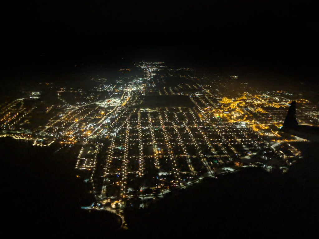
Back to the trip. While we were 2.5 hours late in arriving, we did an approach over Marquette itself, which with the new Sawyer Airport in Gwinn, I had never done before. I was able to get decent nighttime aerial shots of the city on my way in with my Pixel 2 phone. This is right off lighthouse point looking down Washington street. The yellow lights on the right are Northern Michigan University (NMU) which uses sodium vapor lamps. Apparently the rest of the city has switched to LED.

Marquette from the air on approach to Sawyer

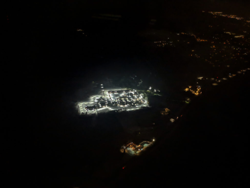
I also got a good view of the Marquette Branch Prison, which had all the lights on.

Marquette branch prison lit up at night

All of these pictures in this post have been processed in Adobe Lightroom CC. This version of Lightroom syncs all of you changes to the internet and works the same (well, mostly the same) across desktop and mobile devices. I normally do my processing in Adobe Lightroom CC Classic (the full desktop software version). There are some limitations to CC vs Classic and I will point them out as I go along. (All the links go to the photography products because I don’t trust Adobe to keep the detail links consistent.)

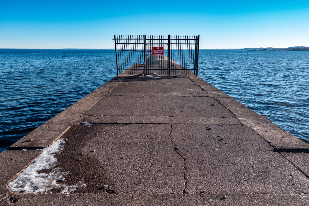
So, with weather in the 40s F/ 5s C, what does one do? You go to Presque Isle, of course. You cannot drive around the island, so one starts at the break wall. But closed.

The Upper Harbor Break wall is closed for the winter
Continue reading

Pratapgad Fort and Mahabaleshwar India, March 2018

March’s trip to India has produced quite a number of posts. There are Hoysaleswara Temple, Chennakeshava Temple, Elliot’s Beach, and now this post on Pratabgad Fort and Mhabaleshwar.

Leaving Mumbai on a Friday late morning, we started a 170 mile / 274 kilometer 6-hour drive on the Mumbai-Pune Expressway, passing through the outskirts of Pune before heading south and then into the Western Ghats or Sahyadri mountain range to the hill station of Mhabaleshwar. Mahabaleshwar is 4,439 ft (1,353 m) above sea level and the weather there is quite pleasant. During the British Raj, it served as the summer capital of Bombay Province. We have often visited hill stations as they are popular tourist sites and in very pretty areas.

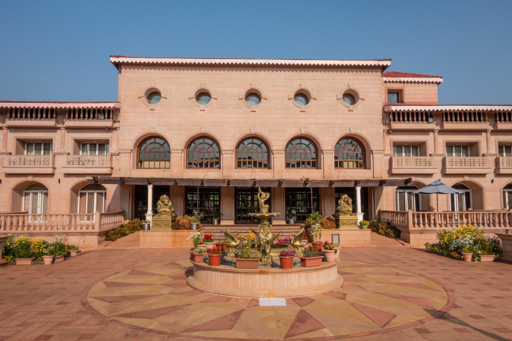
We stayed at the Evershine Keys Prima Resort. The hotel was very comfortable and the staff most helpful. We had a pleasant finish to the day with a good meal and good company.

The gardens of the Evershine Keys resort are quite nice

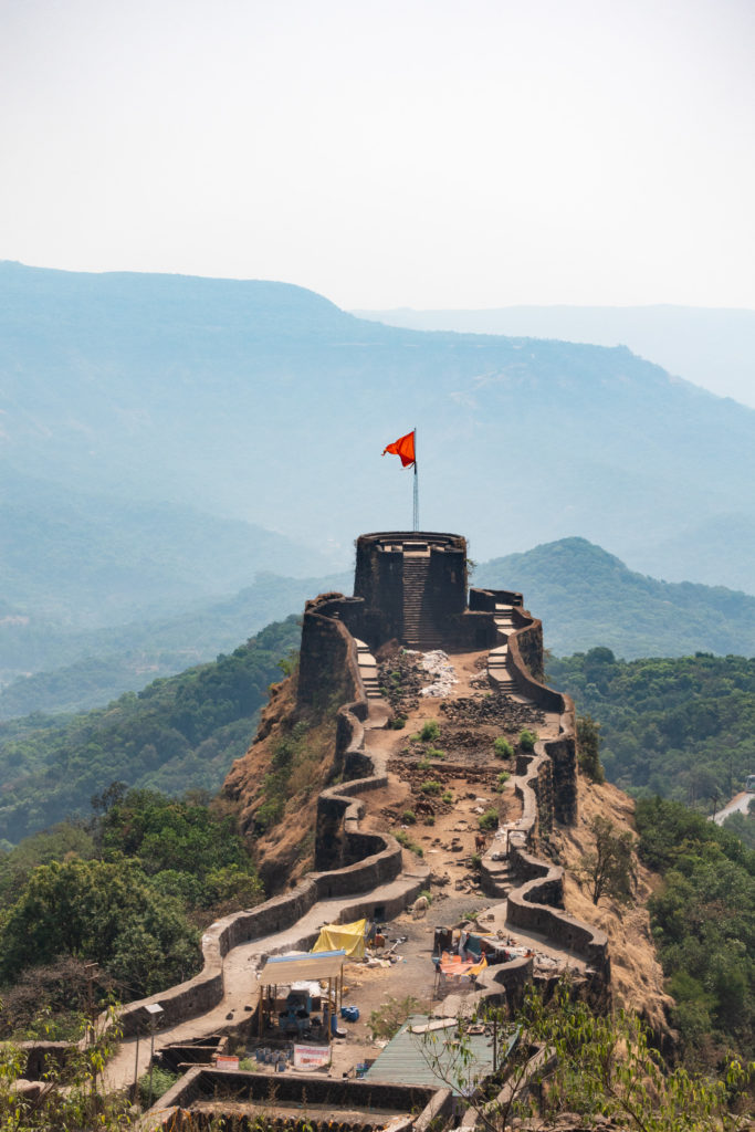
Before I dive into the main topic of this post, I’d like to put in a picture to tempt you to click on the “more” button and read the rest of the post. While we start off at the resort, the real highlight of the trip was the visit to Pratabgad Fort. This fort was the site of a major victory for Shivaji in the Battle of Pratapgarh (Pratapgarh is an alternate Latin character spelling of Pratabgad). More on that below. This bastion is one of its prominent features.

This is the imposing bastion you see as you arrive

Continue reading