
I visited Marquette, Michigan in the middle of December to help my Mother celebrate her 90th birthday. We had a wonderful visit. Here is a travelogue-style post of my trip.
A couple of notes on how I handle pictures in this post. I have always linked to what WordPress calls the “attachment page” which provides a larger picture with title and caption. In this post, I will link to the media file, which will be larger, but will let you see all the details if you click on the image.
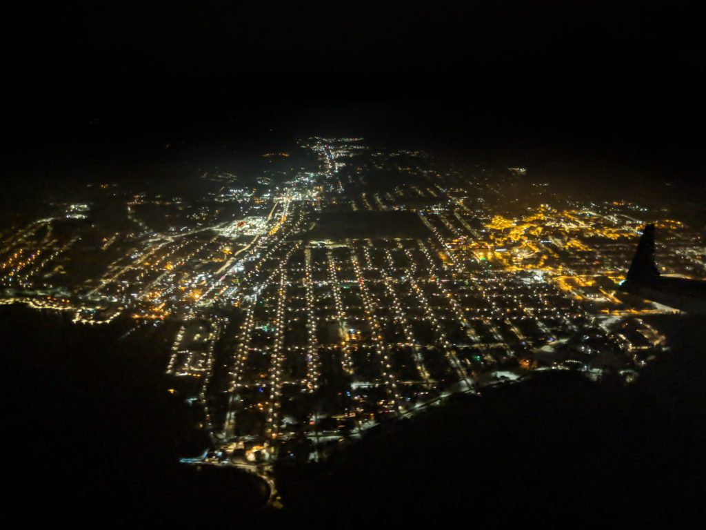
Back to the trip. While we were 2.5 hours late in arriving, we did an approach over Marquette itself, which with the new Sawyer Airport in Gwinn, I had never done before. I was able to get decent nighttime aerial shots of the city on my way in with my Pixel 2 phone. This is right off lighthouse point looking down Washington street. The yellow lights on the right are Northern Michigan University (NMU) which uses sodium vapor lamps. Apparently the rest of the city has switched to LED.
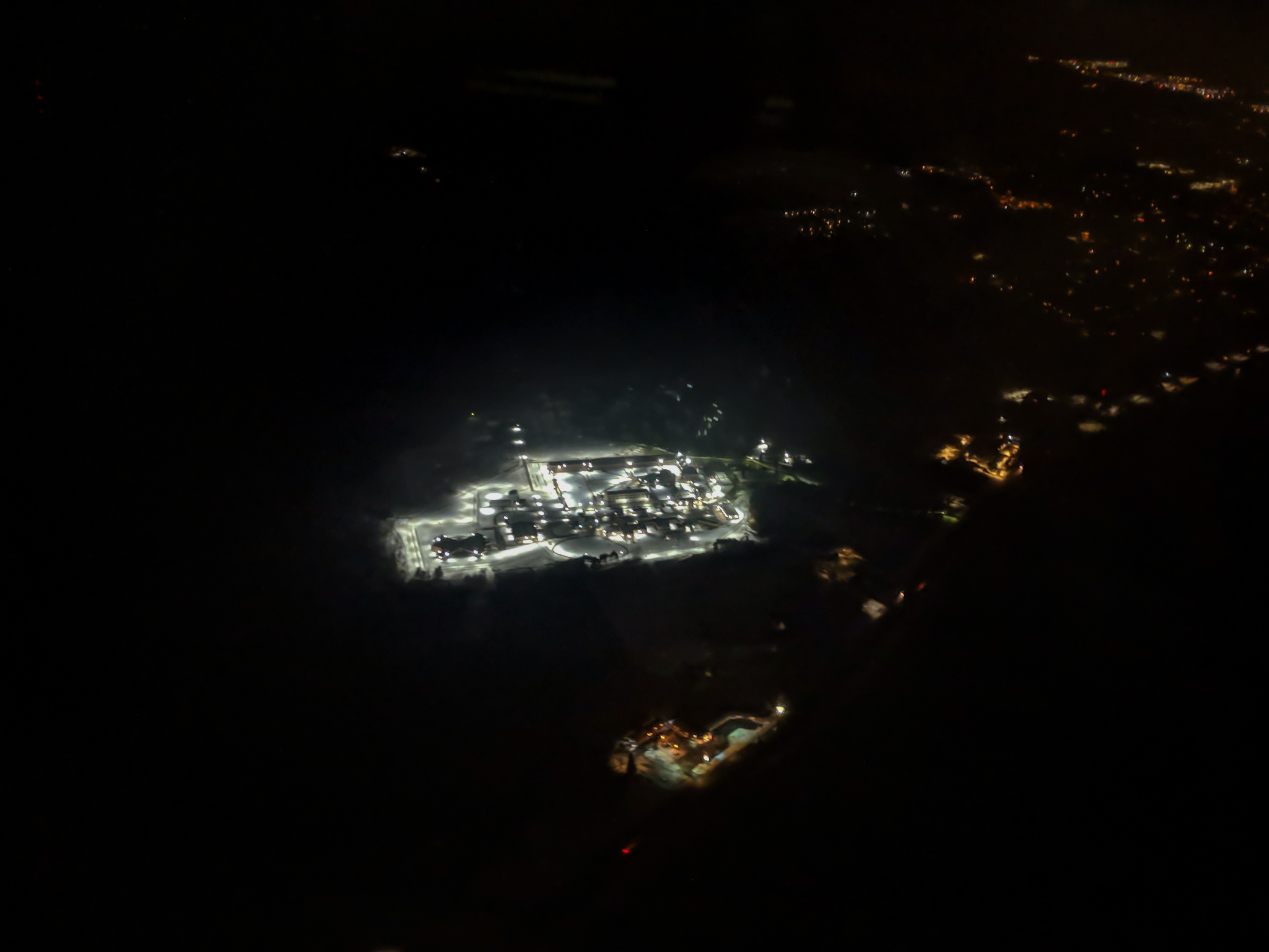
I also got a good view of the Marquette Branch Prison, which had all the lights on.
All of these pictures in this post have been processed in Adobe Lightroom CC. This version of Lightroom syncs all of you changes to the internet and works the same (well, mostly the same) across desktop and mobile devices. I normally do my processing in Adobe Lightroom CC Classic (the full desktop software version). There are some limitations to CC vs Classic and I will point them out as I go along. (All the links go to the photography products because I don’t trust Adobe to keep the detail links consistent.)
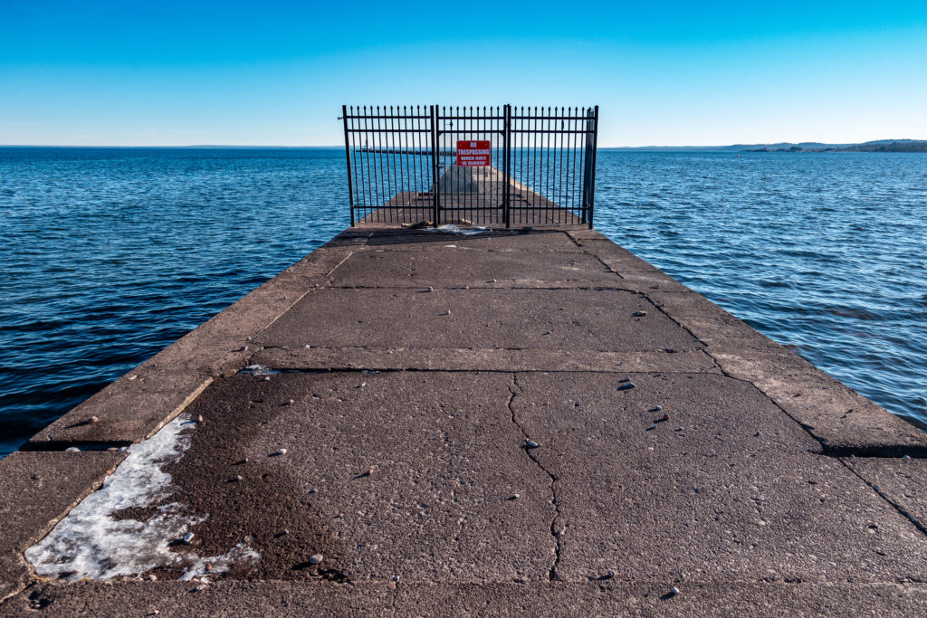
So, with weather in the 40s F/ 5s C, what does one do? You go to Presque Isle, of course. You cannot drive around the island, so one starts at the break wall. But closed.
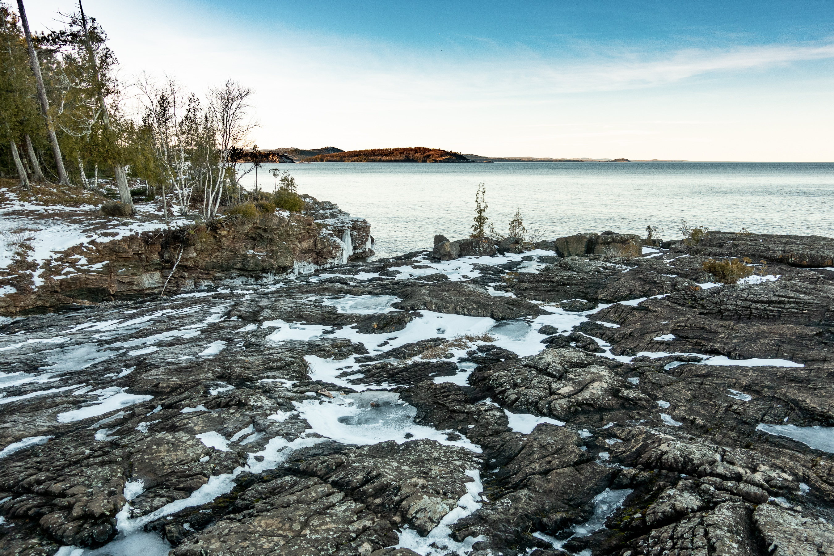
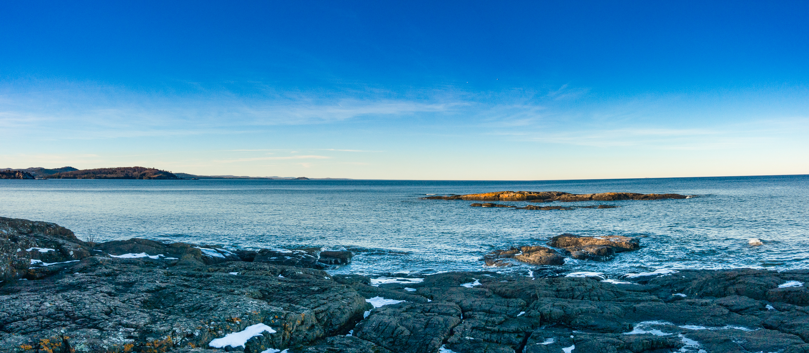
With the around the park road closed, we headed over to where the zoo used to be on the west side of the park. We had a nice walk down toward Black Rocks. It was early winter, so snow, ice, but not too much. And it was a beautiful day.


It is amazing how the color changes from when you are in the low Sun to the shade where the blue sky dominates the color. You would not believe how blue some of these original pictures looked. (BTW, the Gallery feature in WordPress is not ready for prime time.)
Of course we went to Black Rocks (Blackrocks?). A beautiful afternoon.
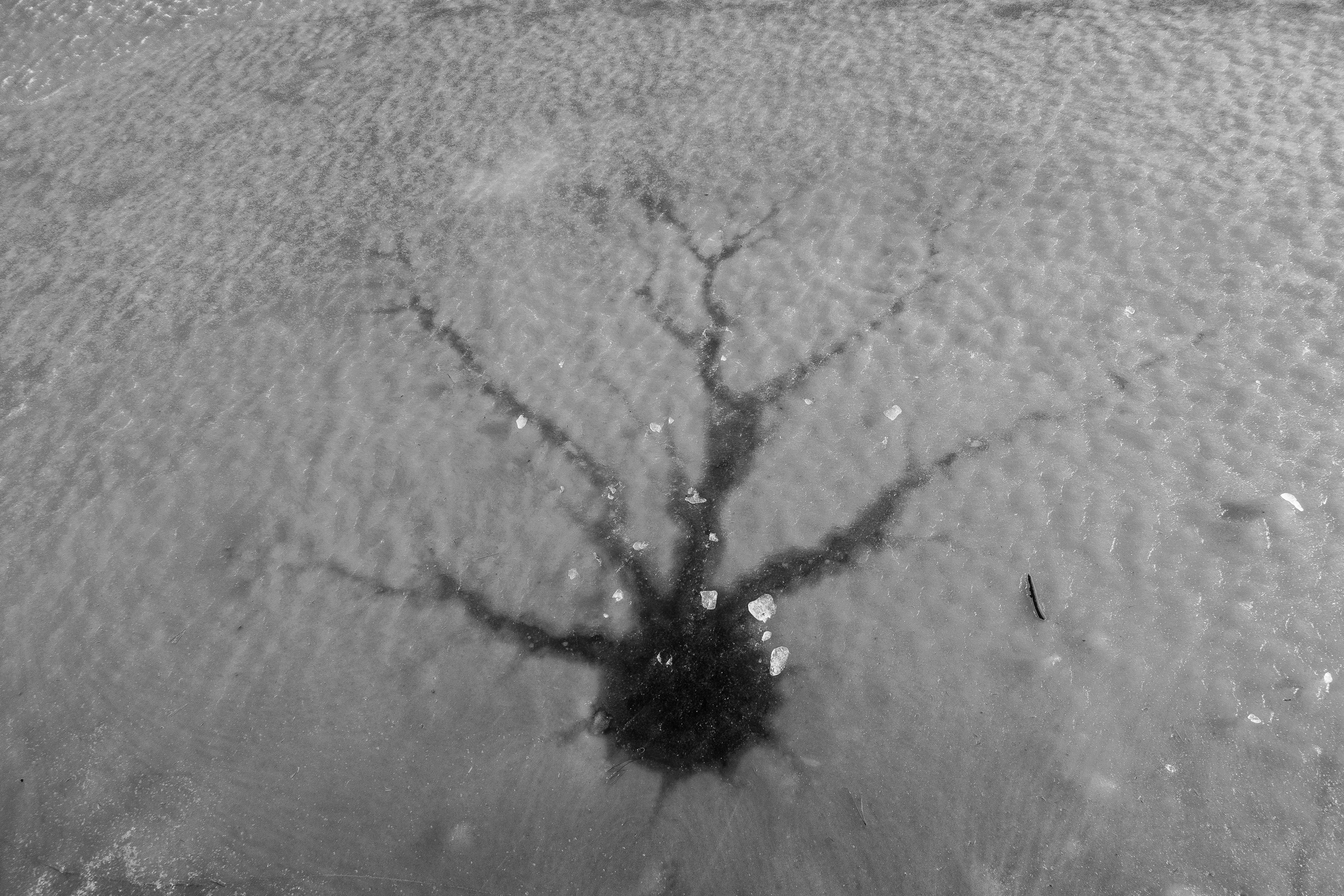
I call this one Ice on the Rocks


Here is one of the limitations of Lightroom CC. You cannot easily do panoramas. Lightroom CC Classic does them excellently and easily. I had to export the photos (edit in Photoshop would not work) and then create a panorama in Photoshop and re-import into Lightroom CC. I lost some of my ability to correct color because it moved the images out of Raw and into TIFF.
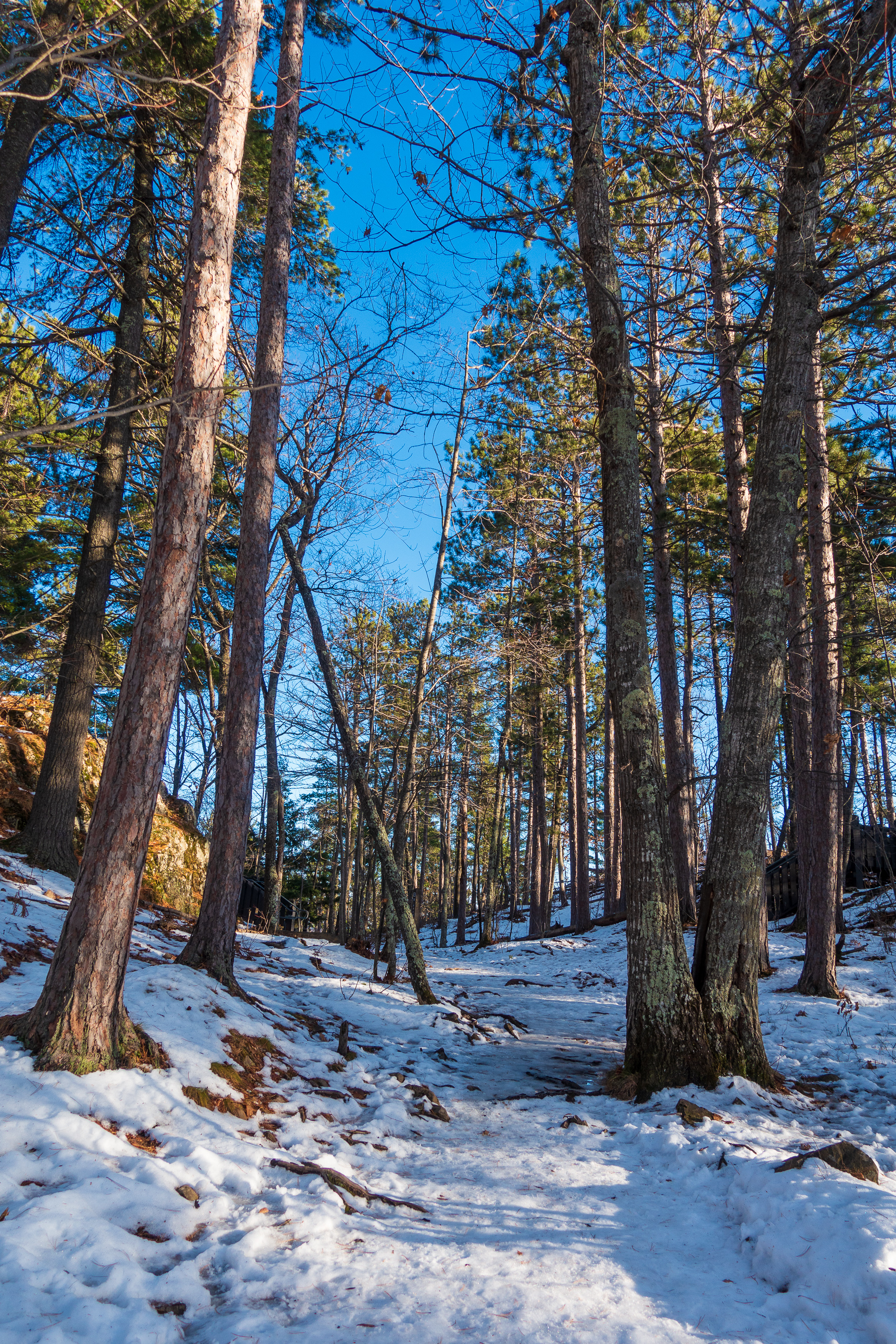
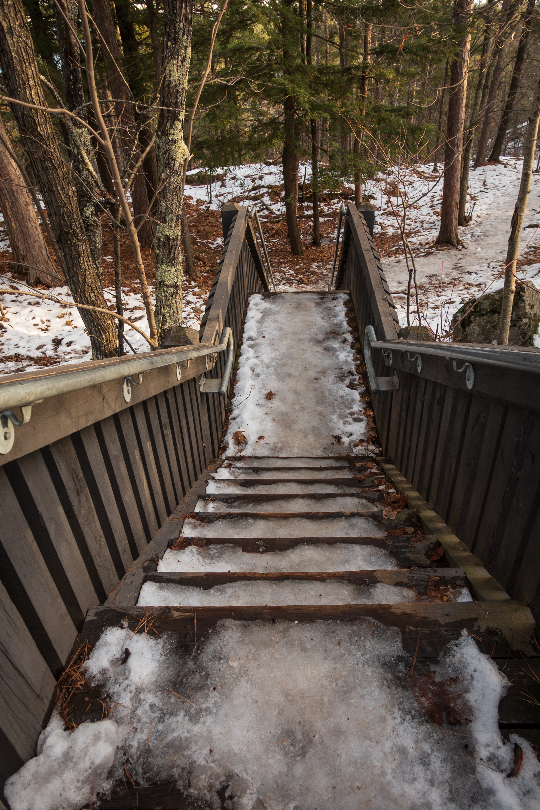
So where do you go the day after visiting Presque Isle Park? Well, if it is 40F+ (5C+) then you go to Sugarloaf Mountain, of course! They offer you a choice of trails. This sign is from the upper choice point, but I recommend the difficult trail as it is much shorter.

We were lucky that it was warm, as a sharp freeze would have made this path very difficult.
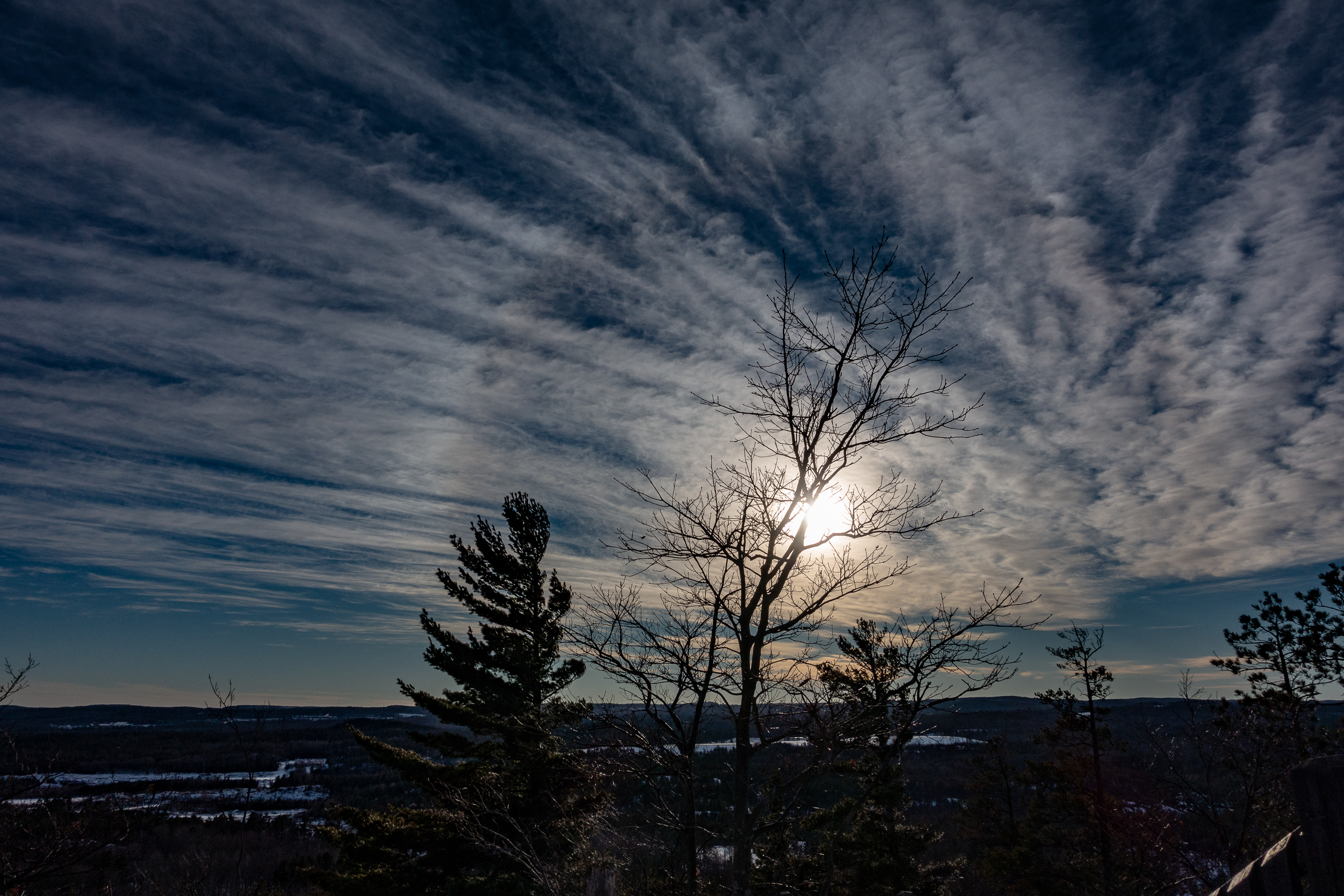
At the top of the mountain, the views are amazing. It is also remarkable how where you face against the Sun changes the color tremendously.
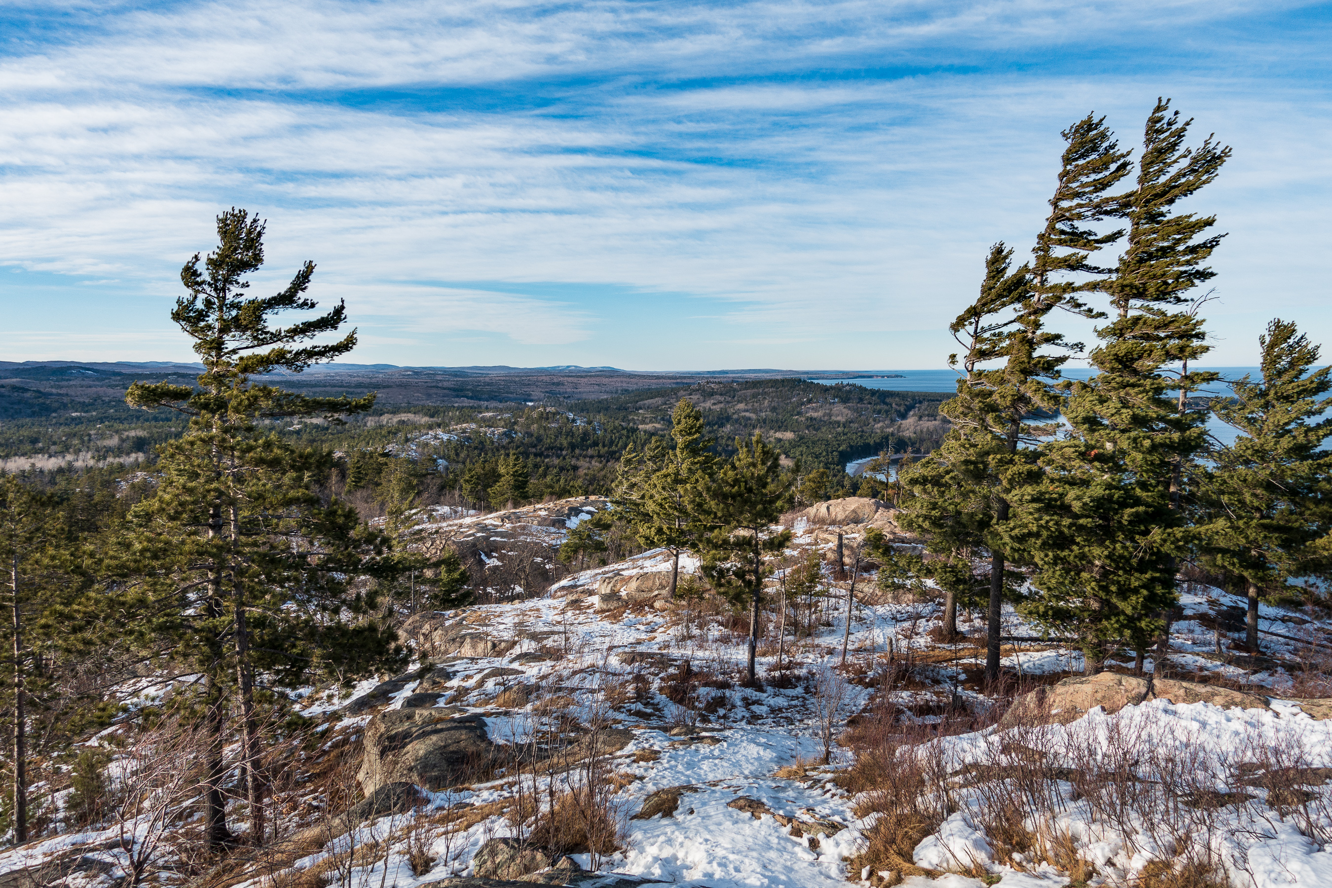
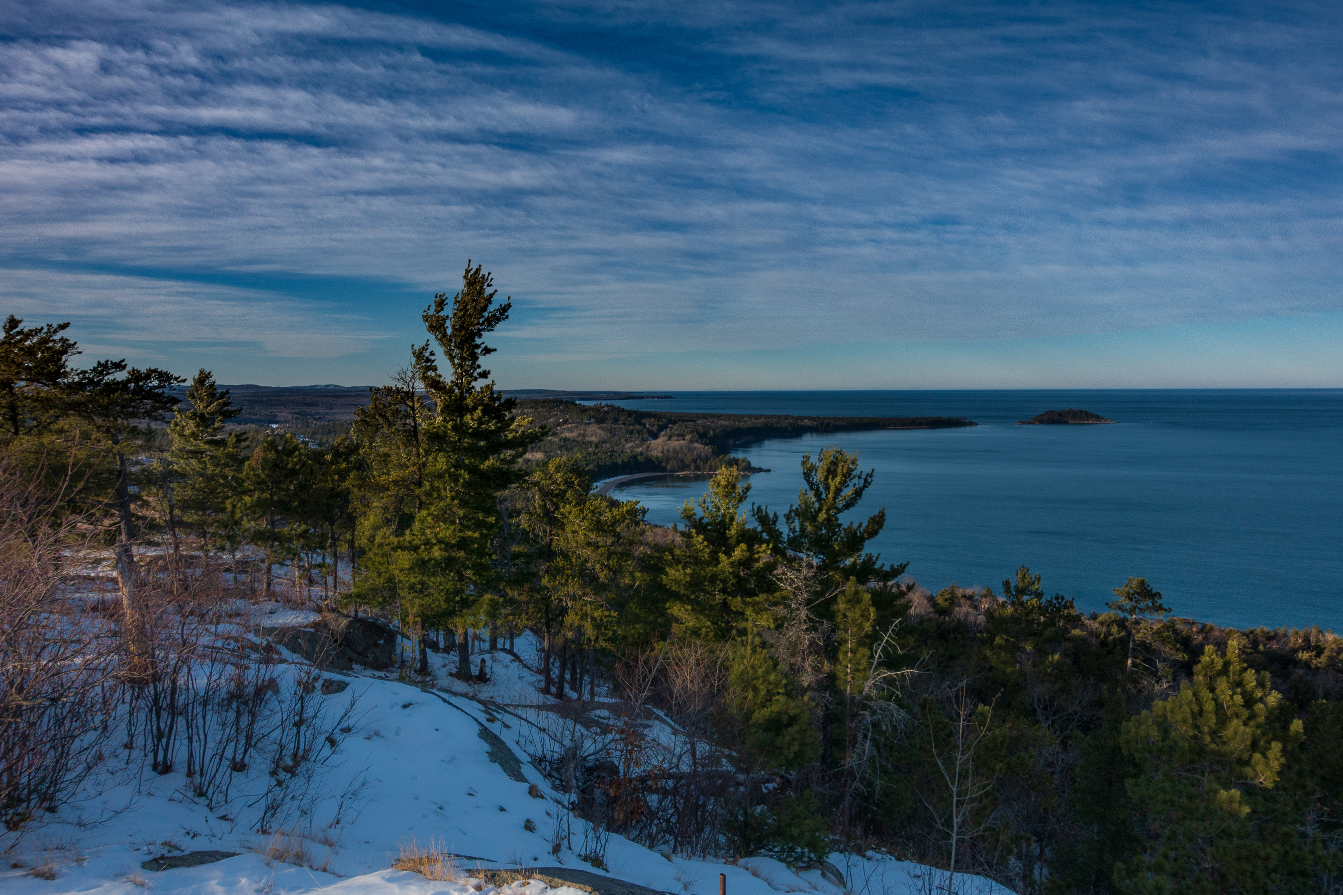
If I had the telephoto for it, you could see snow on the shore of Lake Superior near Munising.

There was a beautiful Sundog to the west.
After you go up, you have to go down. Watch out for the ice. Use the handrails.
So, where to next? How about the Marquette Tourist Park Noquemanon North Trails Trailhead? There is a dock out into Tourist Park Lake (OK, the Dead River behind a dam) from which you could see proof of alien invasion.
The Sun low in the sky was pretty.

This isn’t me. But we are related. I don’t know if his picture will be the same as mine above.
I created a nice high dynamic range (HDR) image of the Sun and the lake. This is another thing that required going to Photoshop with a full export, open in Photoshop, do the work, then save as and import to Lightroom CC. Lightroom CC Classic could have done it all very easily.

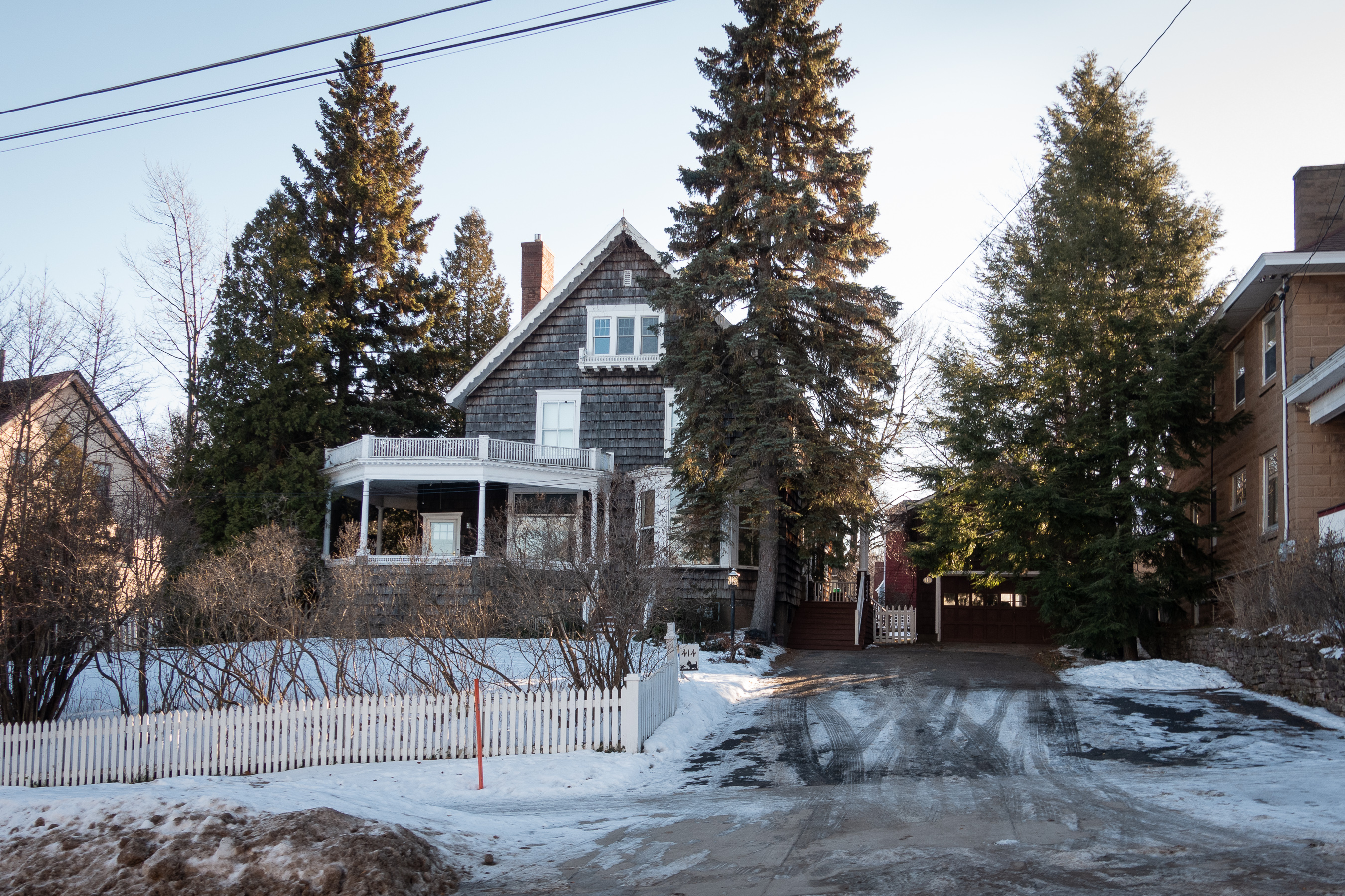
A day later and I was in the old East Marquette neighborhood where I lived when I was in middle school and high school. Here is the house where we lived.
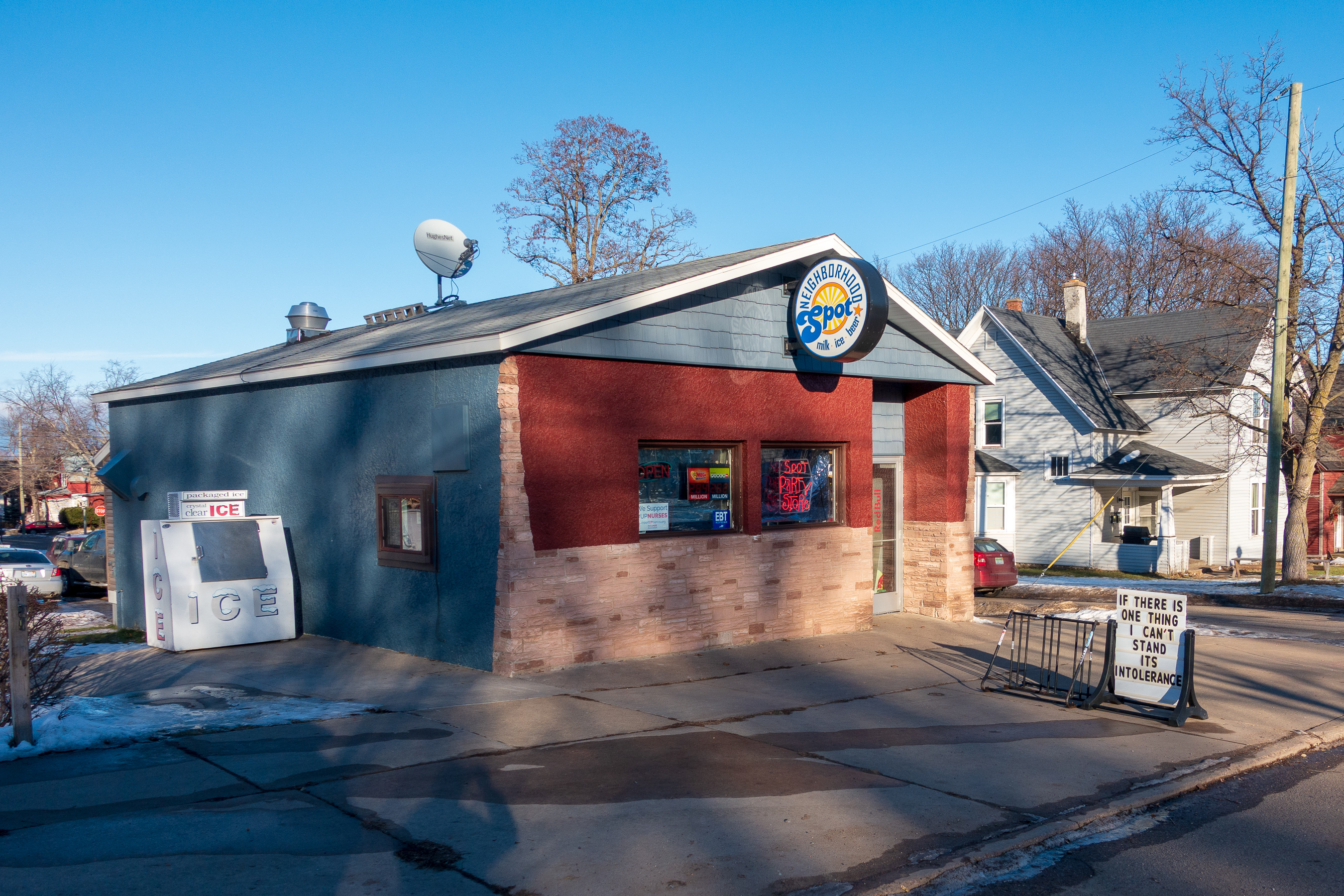
Then there is The Spot. It was Peterson’s Spot when I lived there and it is now the Neighborhood Spot. Always convenient. I cashed checks there like it was my ATM (before ATMs existed). Mr. Peterson was a good man and the store was clean and well supplied. They have funny signs out front, although they have a grammatical error (the its should be it’s).
So then, I headed home. I got to the airport at 7:00 am and the temperature was 9F/-5C. Cold walk from the car to the terminal. The Sun was just rising as we flew south and I got these two nice out of the window seat pictures of the UP and Wisconsin.
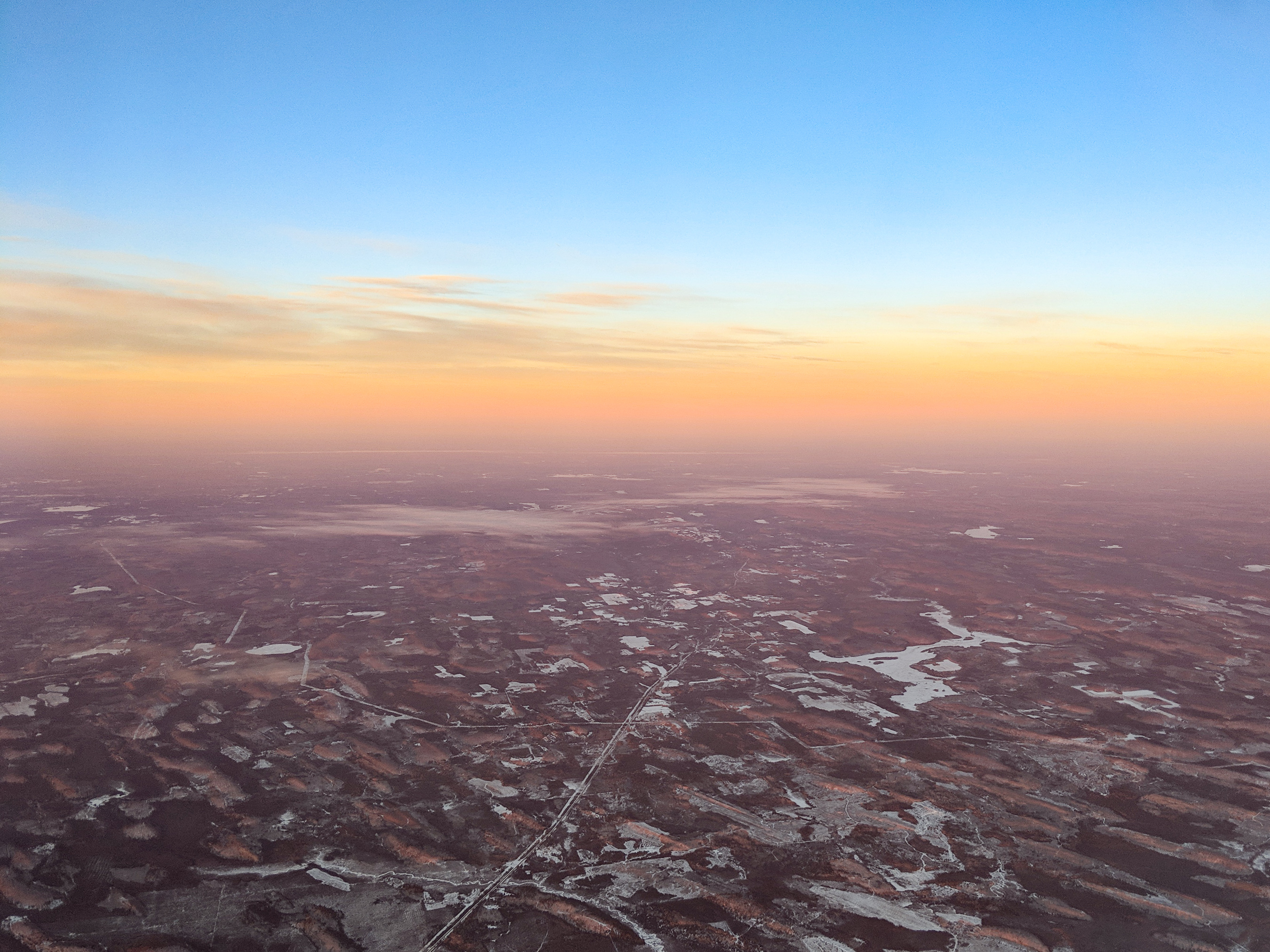
Click through to the big version of this next one to see the subtle ripples in the land.

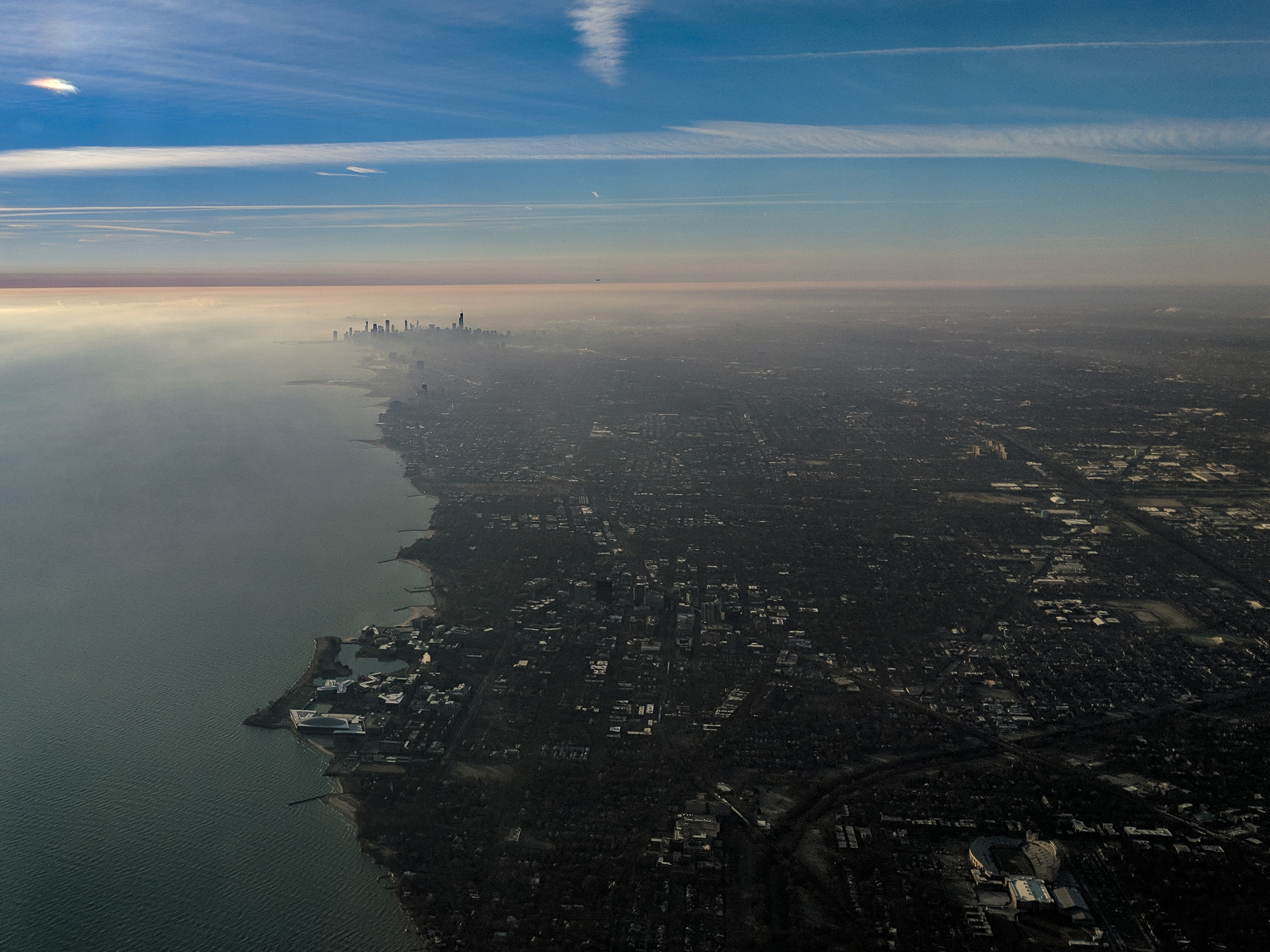
Chicago looked great flying into O’Hare.
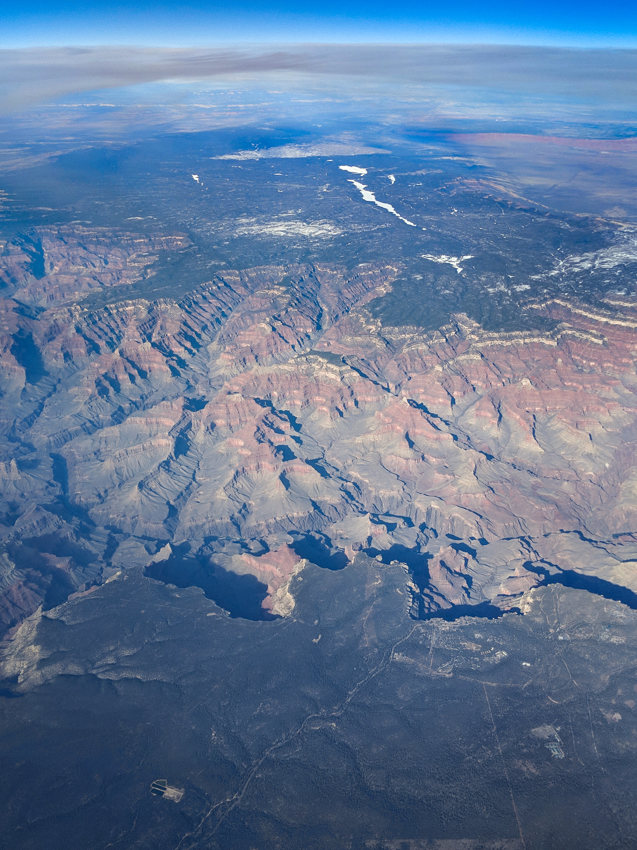
Finally, I had a beautiful view of the Grand Canyon and Grand Canyon Village on the South Rim.
And the final image that Facebook will pick up as the title picture.
You must be logged in to post a comment.