
I took a trip to Upper Michigan at the beginning of March and, with the assistance and company of my high school friend Jim, we visited my late parents’ rural home at Conway Lake. Conway Lake is about eight miles from Big Bay, Michigan, and about 35 miles northwest of Marquette, Michigan. The house has always been knows as Camp. For me, this is a proper noun as it is the proper name of a place.
Camp is located on property acquired by my stepfather’s father in the late 1920s (or early 1930s, I am not sure). The land had been recently clear cut so what exists today is a well-kept second-growth maple forest. The land is surrounded by the Huron Mountain Club, an exclusive club formed in the 1890s and that included members like Henry Ford. This makes it even more remote than it already is.
Jim and I headed off in mid-afternoon from Marquette, heading up County Road 550 to Big Bay. Jim lent me a pair of modern-style snowshoes which are really amazing — lightweight and easy to walk in. When we got up to the Conway Lake east road, we were very pleased to see that it had been plowed. From the Huron Mountain Club Road to Camp is about 1.5 miles. That would be hard even in modern snowshoes. It turned out that my parents’ neighbors had plowed the road all the way to their camp so we were able to park the car not far from the driveway to Camp.
One image processing note: The dehaze function in Lightroom does a great job eliminating the complete washout of snow, allowing you to see the needles and sticks in the snow.
The walking in the snow was not easy. I am not sure we would have made it to Camp where it not for the fortunate plowing that had been done. We walked the couple of hundred yards to Camp and found it in good shape.
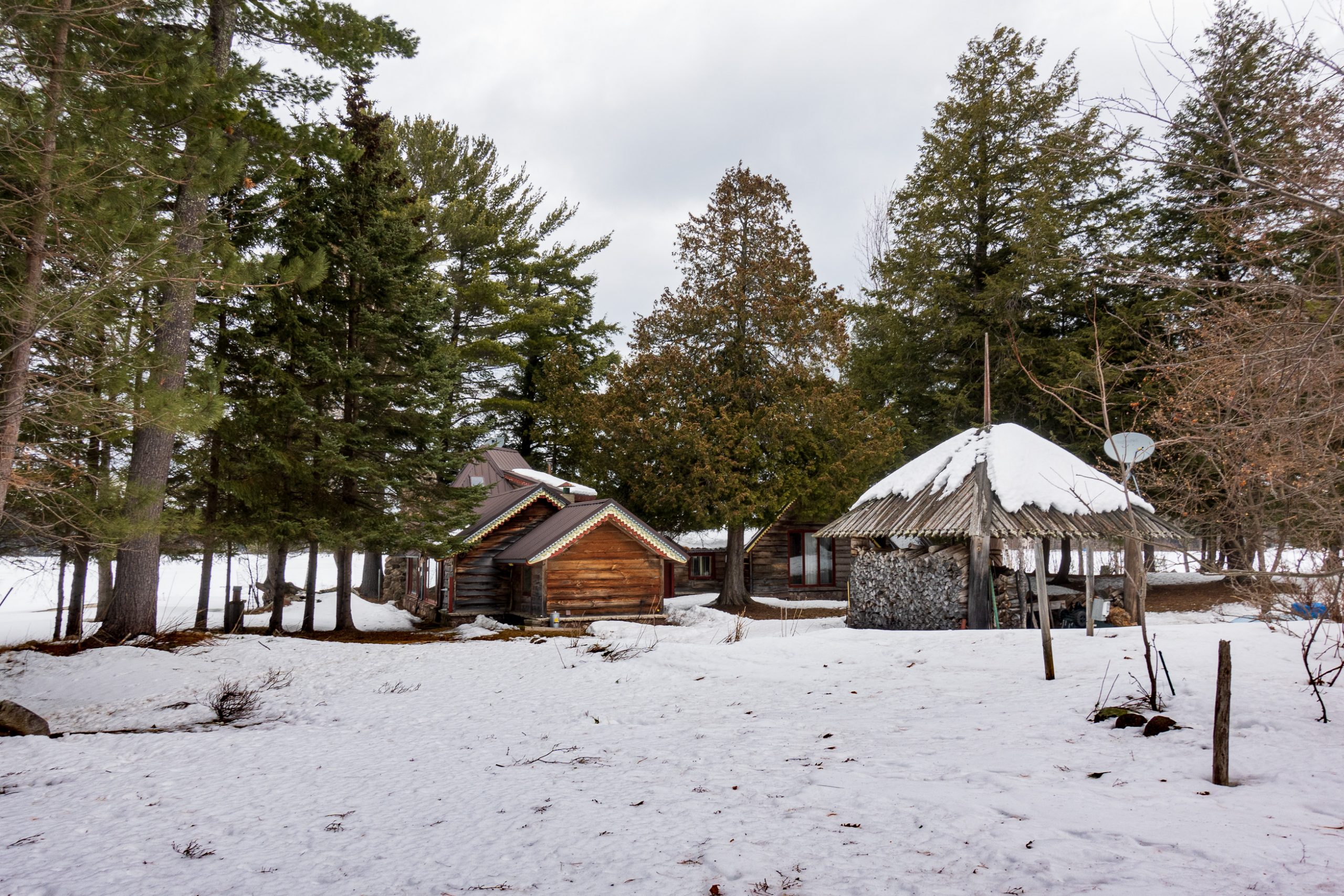
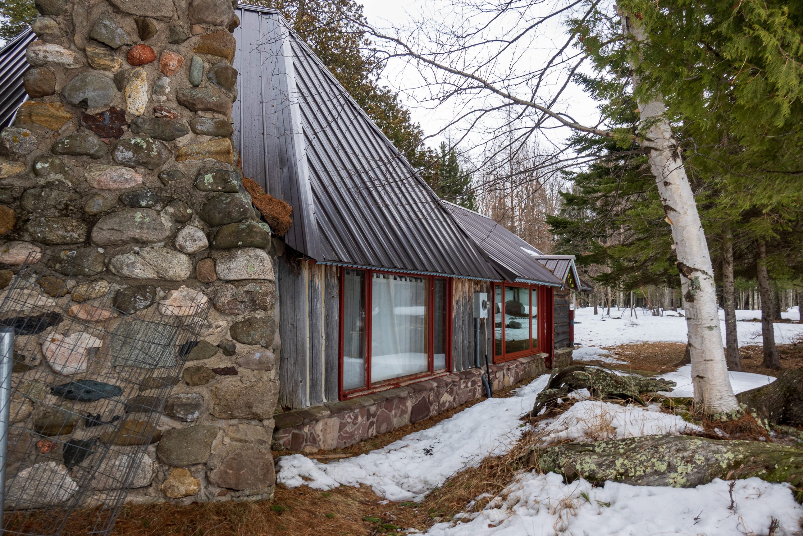
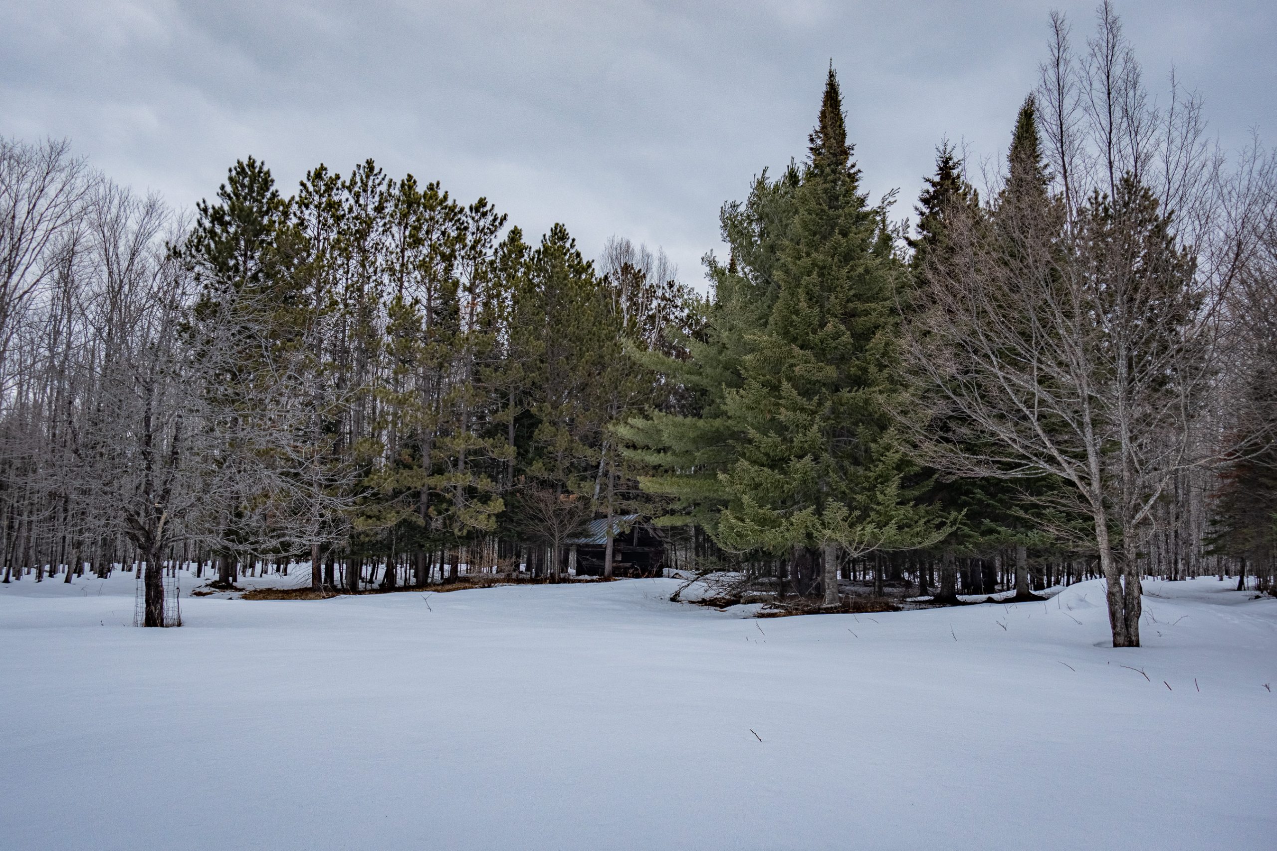
Camp was built bit by bit starting as a one-room hunting camp that my stepfather built after he returned from WWII in the 1940s. The original room is now the kitchen. One of the best decisions he made was to put on a metal roof which will last through many winters and at the steep pitch, sloughs off the snow.
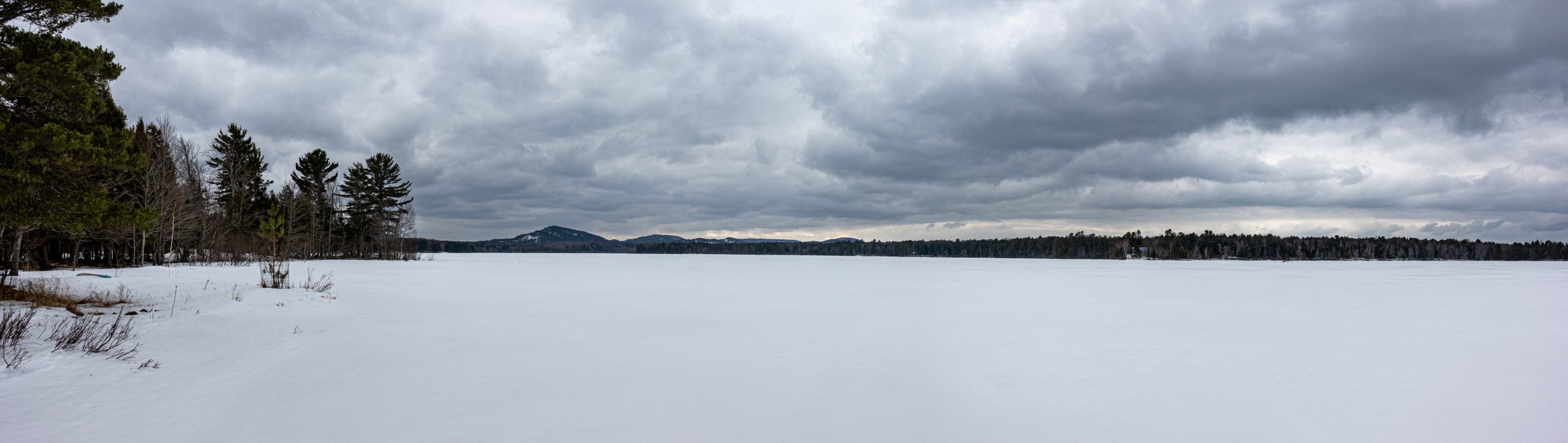
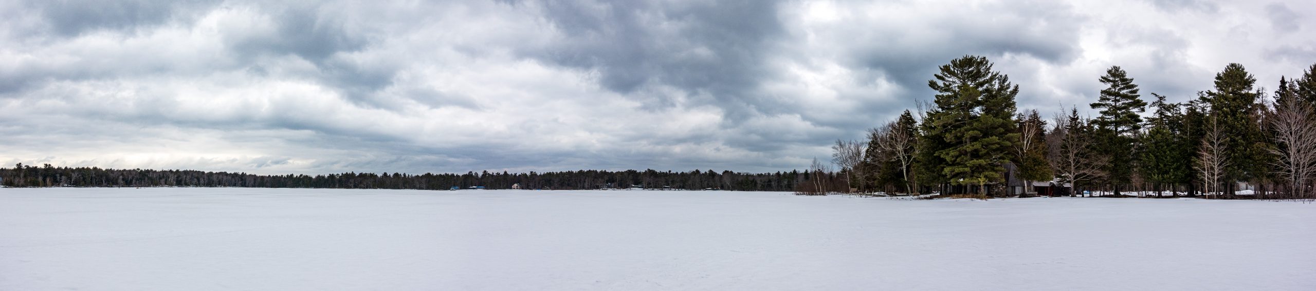
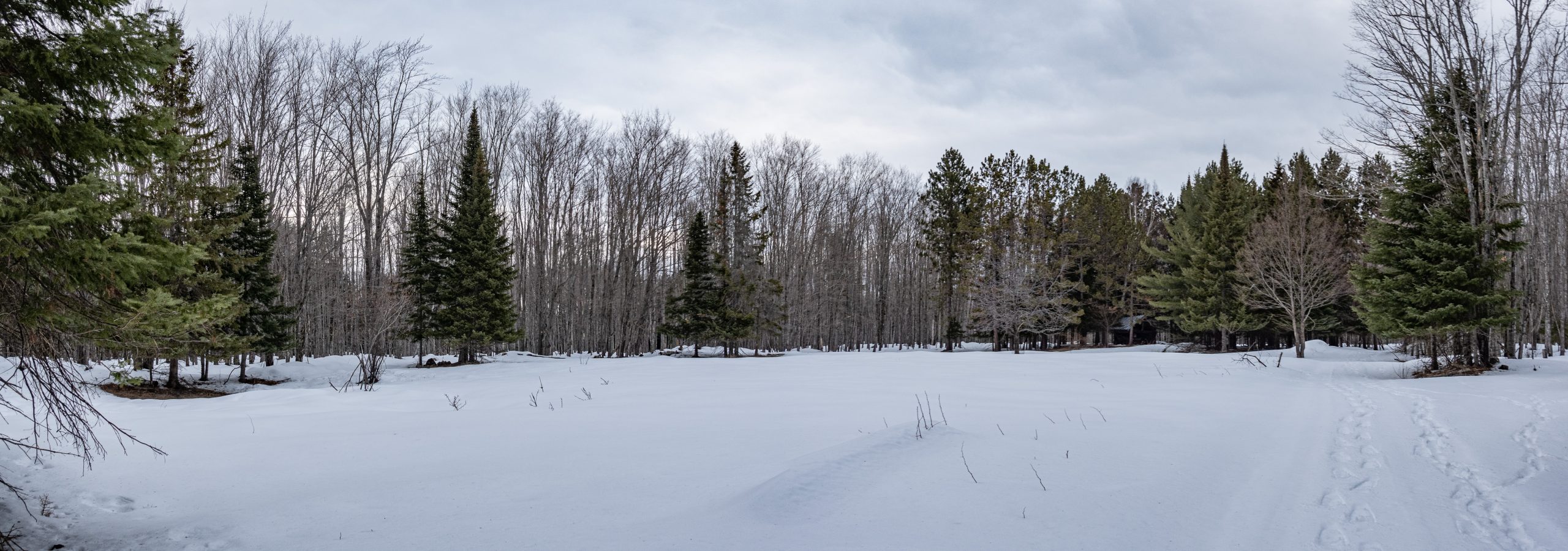
After a brief inspection of the buildings, we headed out onto the lake to look around. In early March, I would expect the ice to be about two to three feet thick. We weren’t going to fall through. We noted someone on a snowmobile tending his tip-ups for ice fishing. A tip-up is a device that lets you put a line into a hole in the ice and raises a flag when a fish takes the bait. No sitting over a hole, just be warm and use your binoculars or a quick snowmobile ride to see if you’ve had a strike. Here is a panorama looking southwest from Camp. Click on the picture for a full-sized version.
I took the opportunity of getting out on the lake on foot to take a wide shot of Camp. This is a combination of three images at different exposures providing a high dynamic range or HDR view.

I could not resist the urge to take an almost 10 degree panorama. You can see the ice fisherman if you zoom into the left side of the photograph.
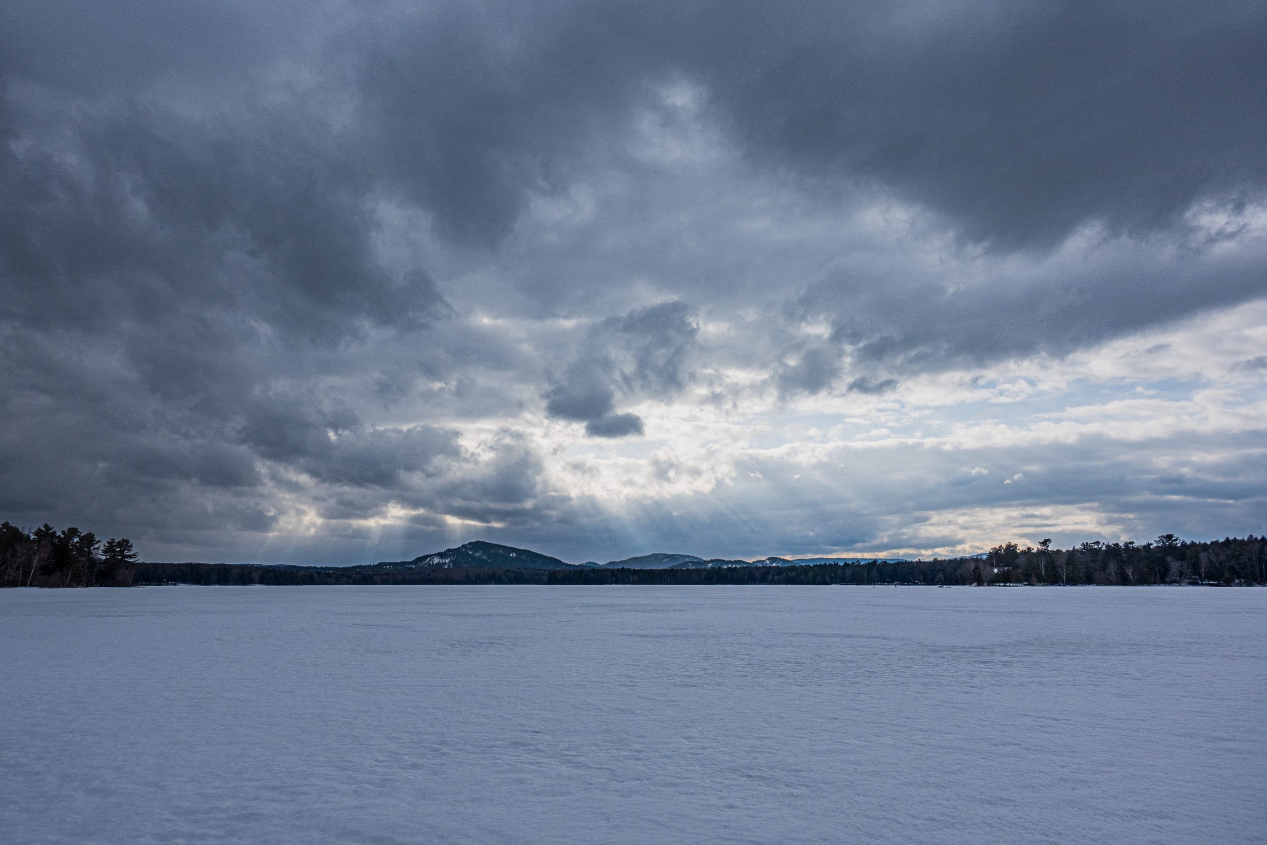
From here we decided to walk northeast toward Lake Superior. Yes, across the ice. As we crossed, the clouds were clearing somewhat and we had a beautiful view of Ives Mountain.
We were heading toward what we always called “The Other Side” (again, a proper name). This was where the rest of my stepfather’s family had their camps. The two camps in the middle were moved from near Lake Superior and the one on the right was built around a garage moved from my step-grandfather’s house in Marquette. They all have names. From left to right there is Nightwind, Leaning Pine, Crooked Oak, and the Folly. The Folly was named because all thought moving a garage was a bad idea. It’s full name was “Doc’s Folly” because my step-grandfather was a doctor and public health official in Marquette County.

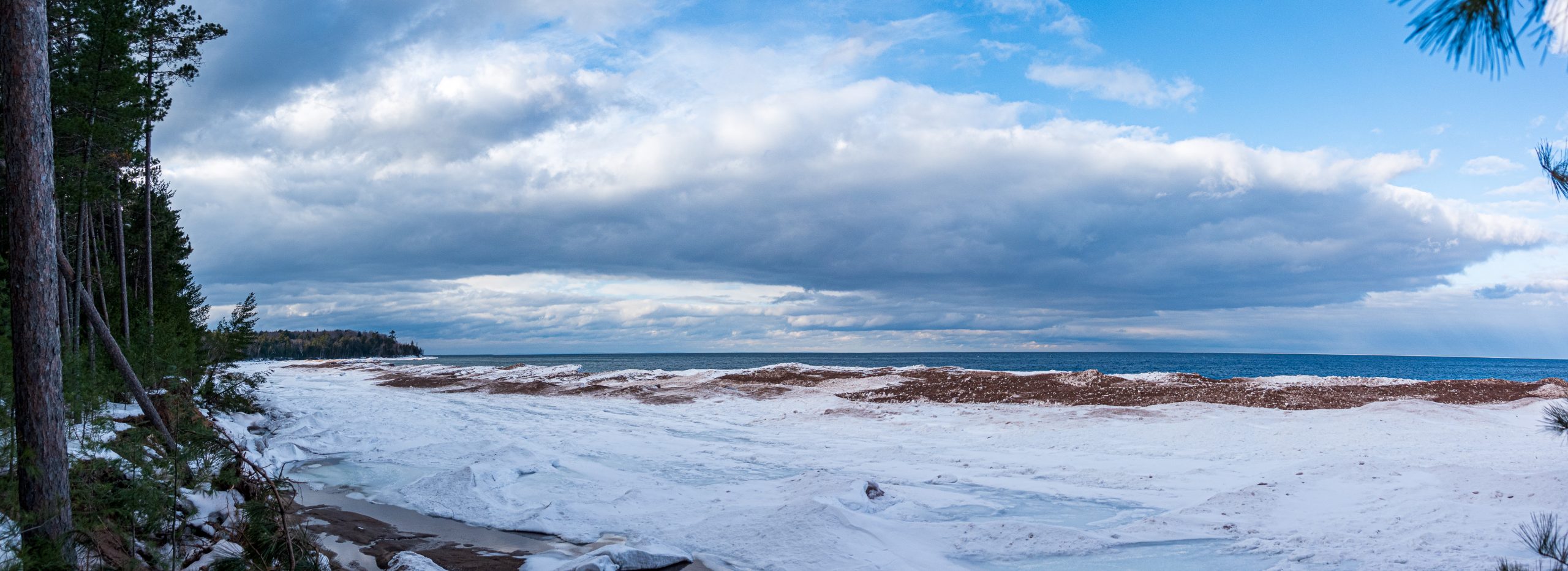
We continued northeast past the camps to the Pinery Trail. The Pinery is a part of the woods where my uncle, a forester, had culled all the deciduous trees, leaving only pines. The area was primarily pines to start and this was an experiment to see how it would fare as only pines. It did just fine and is a beautiful part of the woods. The trail leads to Conway Bay on Lake Superior. The beach was covered in ice as one would expect at this time of the year.

Lake Superior water level is very high. It was clear that the beach was much smaller than it was historical even with all the ice built up on it. Here is a panorama of the bay, looking north.
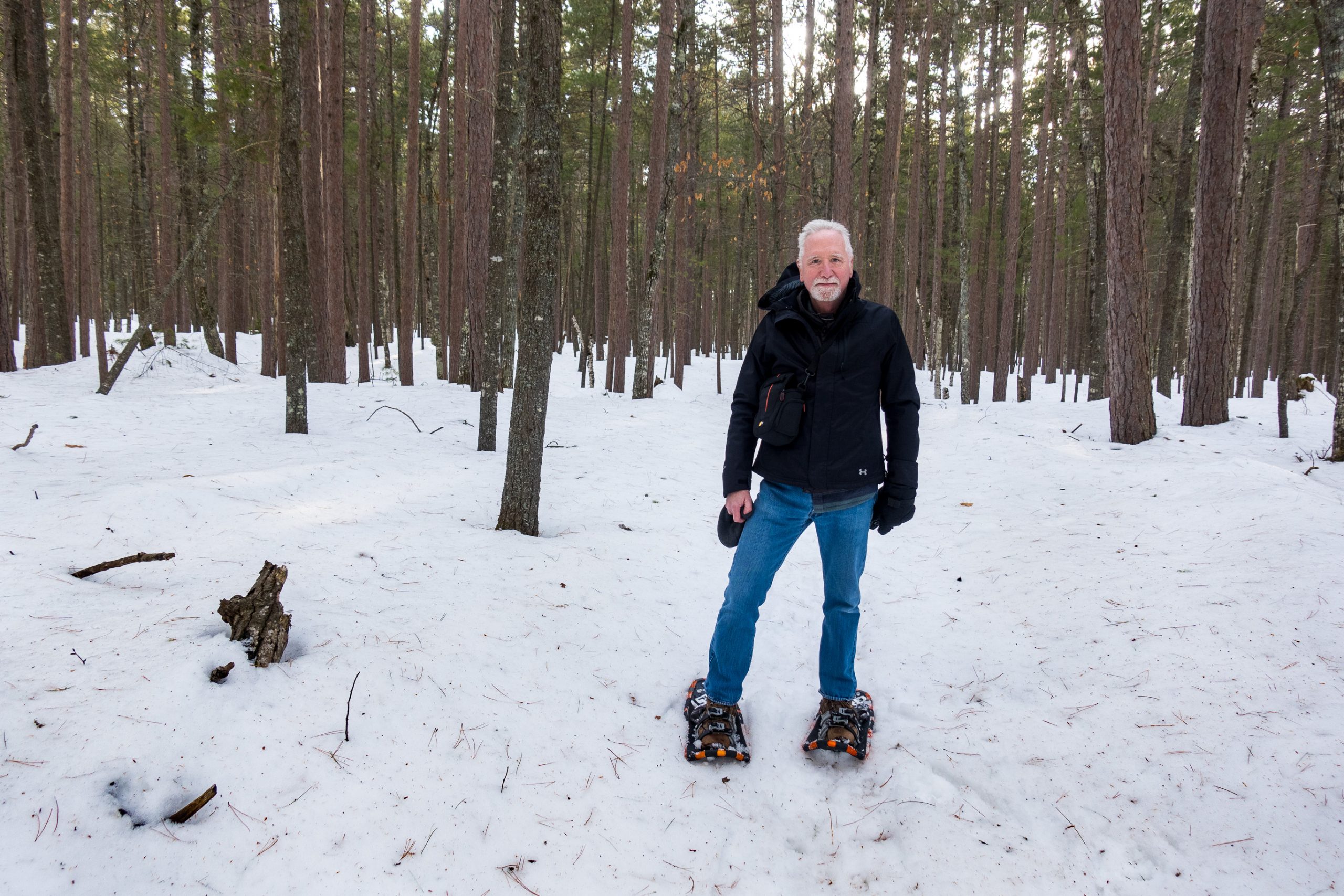
Here I am in the Pinery with the remarkable snow shoes.
As we walked through the woods, we passed several trails beaten in the snow by deer.

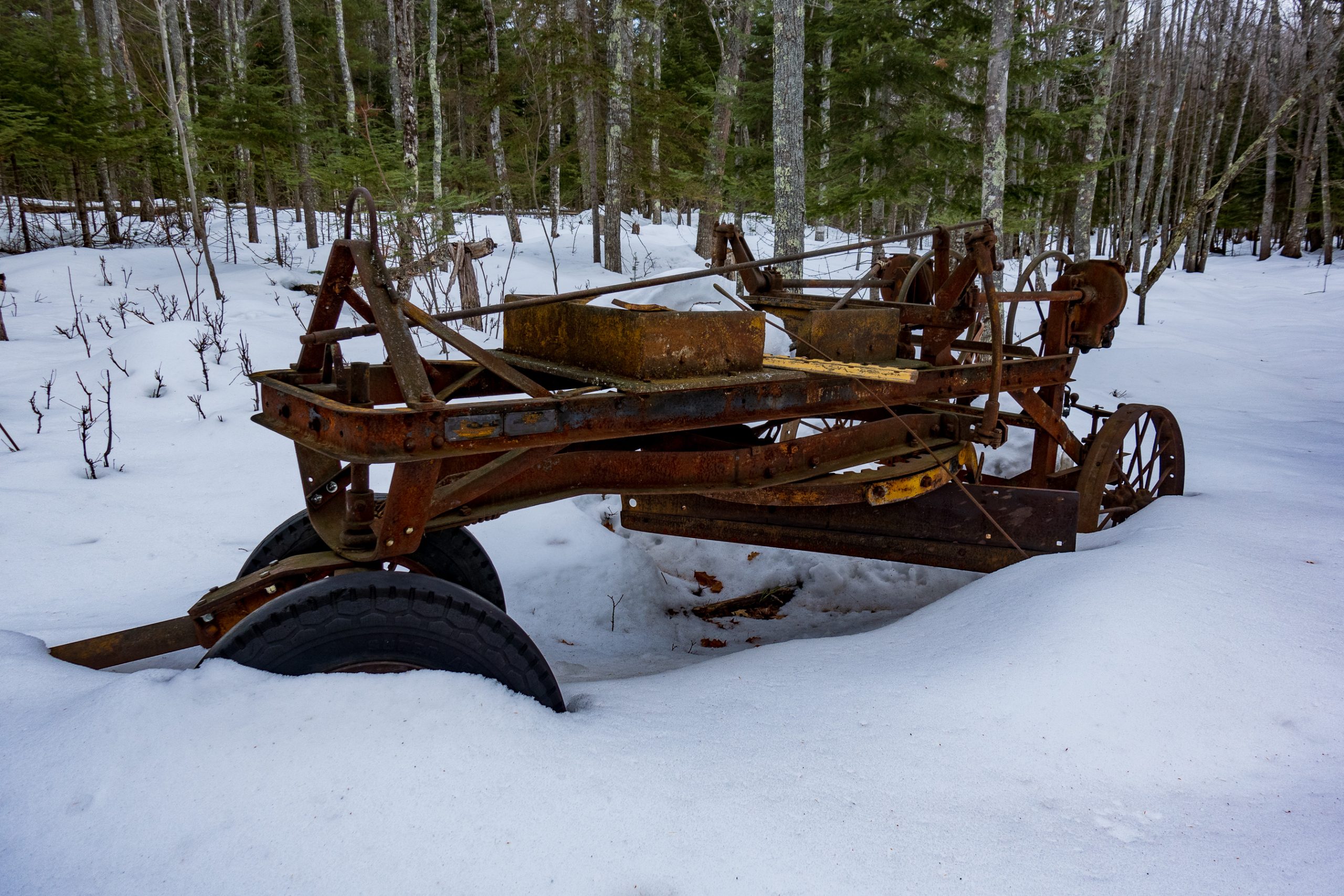
There is an old road grader parked near a place we call Pine Opening.
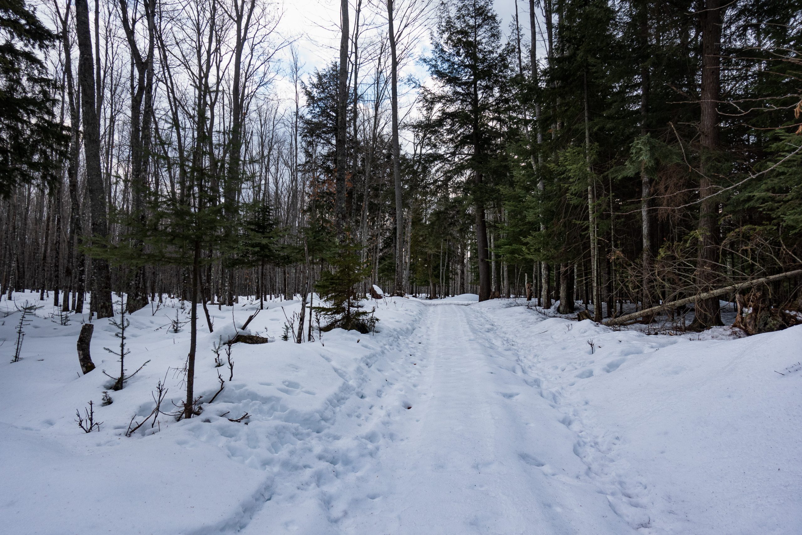
This is Doc’s Highway, a newer section of road built by the “doc” mentioned above. It had the advantage of not flooding in the spring. The center of the road has a snowmobile track on it. The compaction from the treads made for easier walking.
You can see why the deer prefer well-worn trails to stepping through fresh snow as their hooves go deep in the snow when it is not compacted.

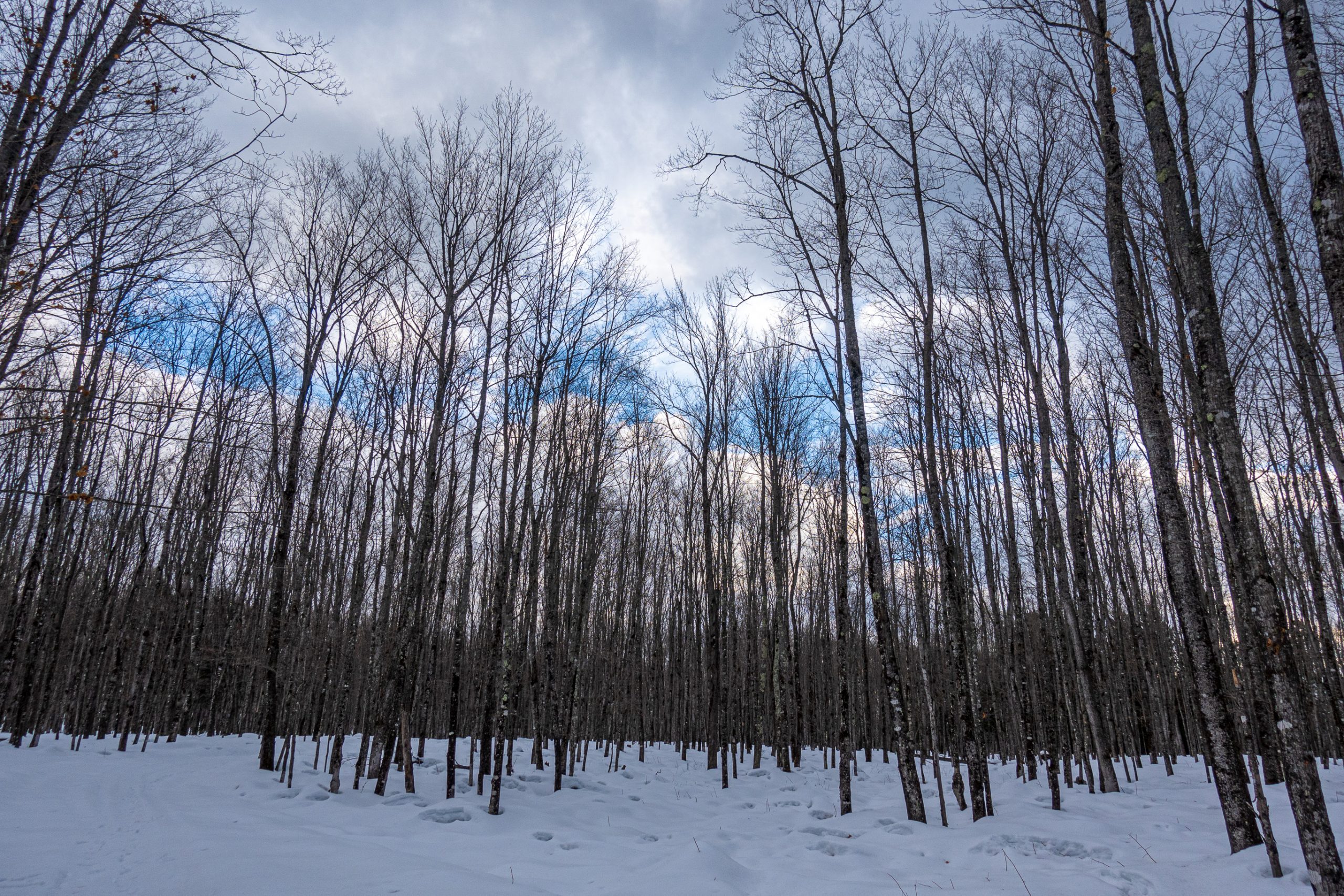
There is a stark beauty to the bare trees of winter.
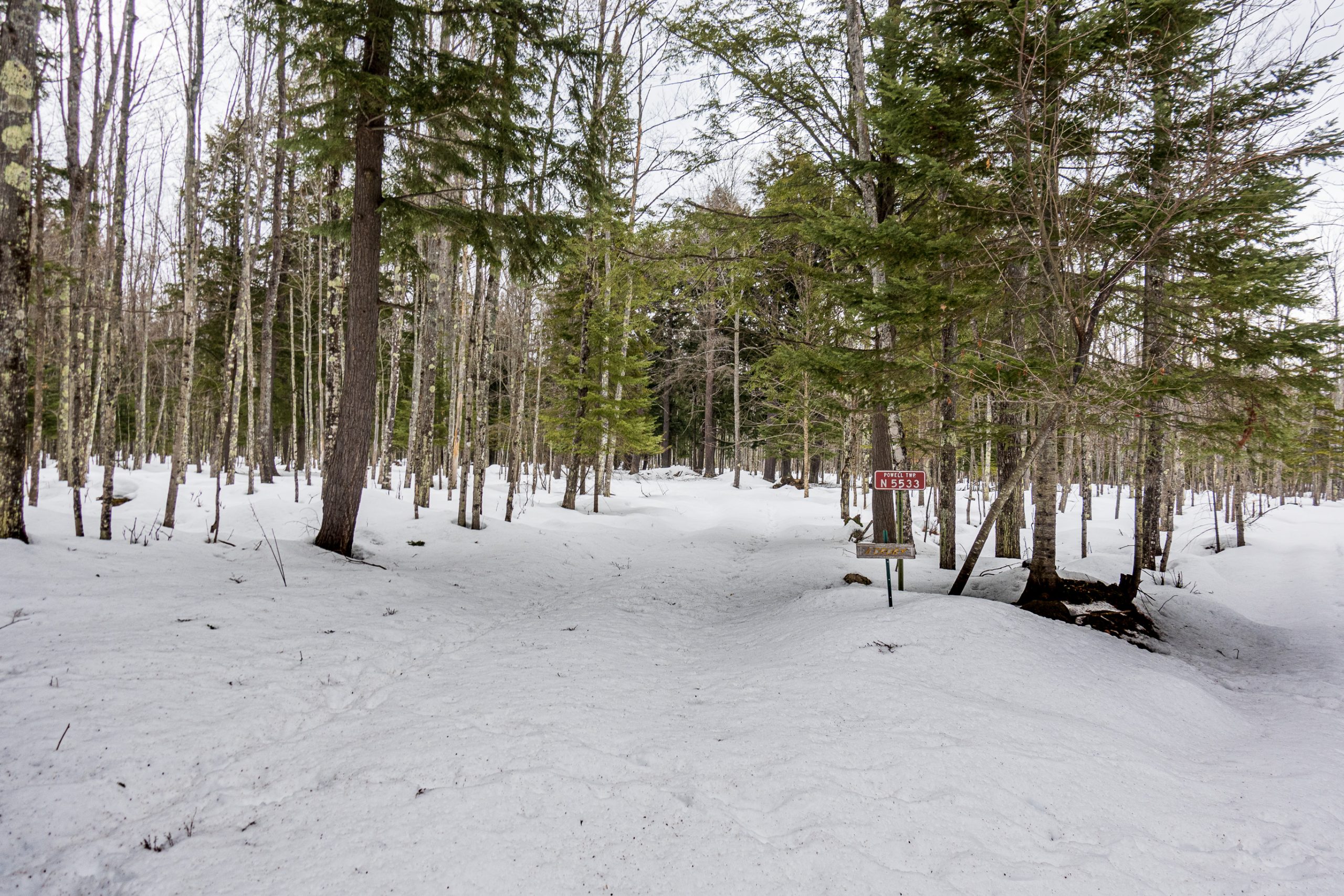
As we neared the end of our hike, we came to Camp Seven. This clearing was where the lumberjacks who clear-cut the area in the early 20th century built their living quarters. Its name comes from the seven railroad grades coming into the camp.
This small cabin was built by a trapper in the late 19th century. It was moved here from the western upper peninsula in the 1970s. It was on timber company land and they didn’t want it to lead to any liability. So we took it down, put the logs on trailers, and brought it here. It was quite an adventure as we were sneaking it away, albeit with permission of land owner. It had also snowed heavily the day before the move. This is a three-shot HDR image.
Finally, a panorama looking north across Camp Seven.
And the image for Facebook to pick up.
You must be logged in to post a comment.