For Thanksgiving last year, we traveled to Marquette, Michigan to see my Mother and family friends. From Tuesday though Thanksgiving in the last week of November, a good-sized November storm came through. I had a chance to take some pictures, and that is the subject of this post.
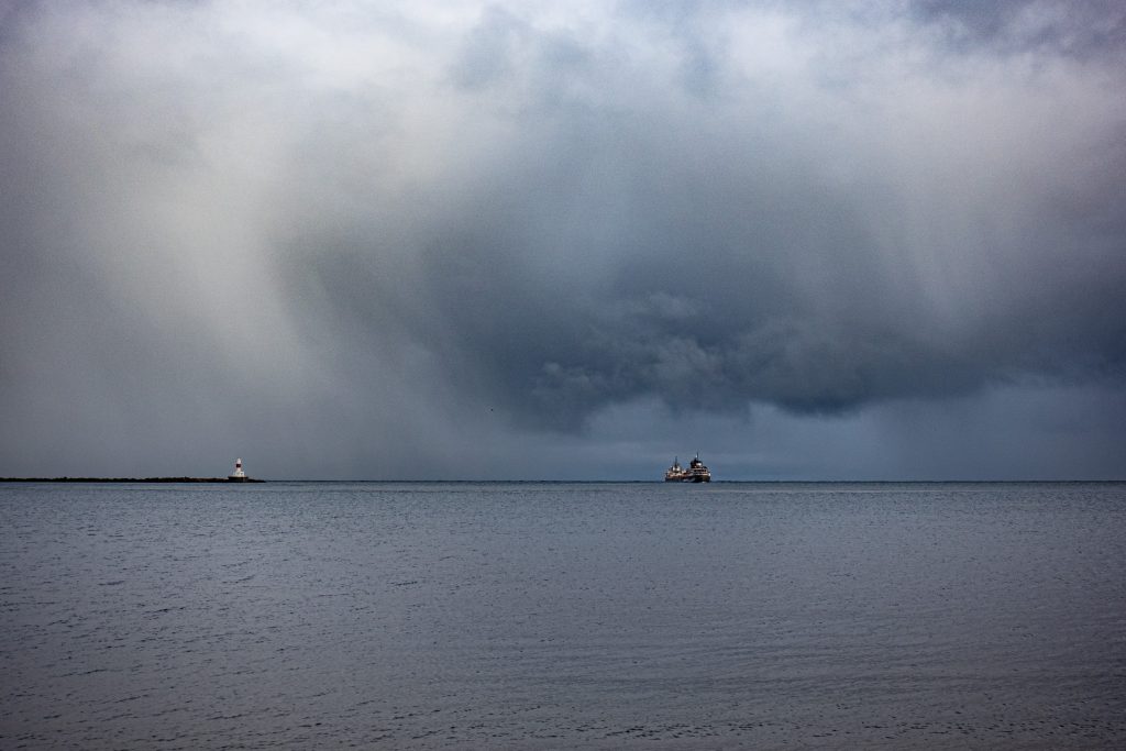
On the Tuesday before Thanksgiving, as the storm was gathering, I bundled up and headed out toward Presque Isle, a wonderful part at the northwest end of Marquette. Just outside the entrance to the park, I stopped by the Lake Superior & Ishpeming Railroad (LS&I) ore dock, the remaining operational ore loading facility in Marquette. As I arrived, I spotted a ship heading out on to Lake Superior beneath an ominous sky.
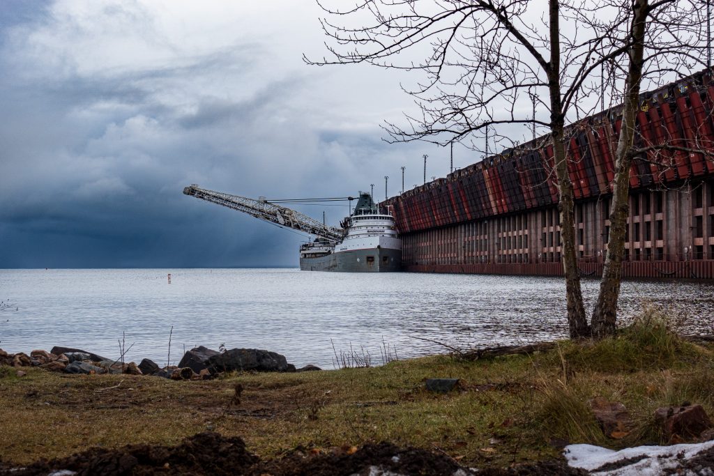
The ore dock, built in 1912, is 1,250 feet long, 60 feet wide, and the top is 75 feet above the water. It has 200 pockets for ore pellets, 100 on each side each with a capacity of 250 tons. Believe it or not, it sits on 10,000 wooden pilings. The ore boat Saginaw was tied up at the dock and loading ore.
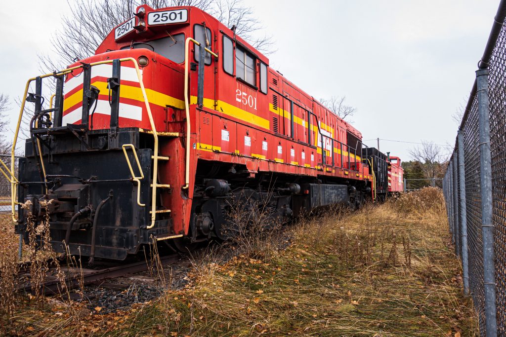
The LS&I have a retired locomotive parked by the dock. It is impressive.
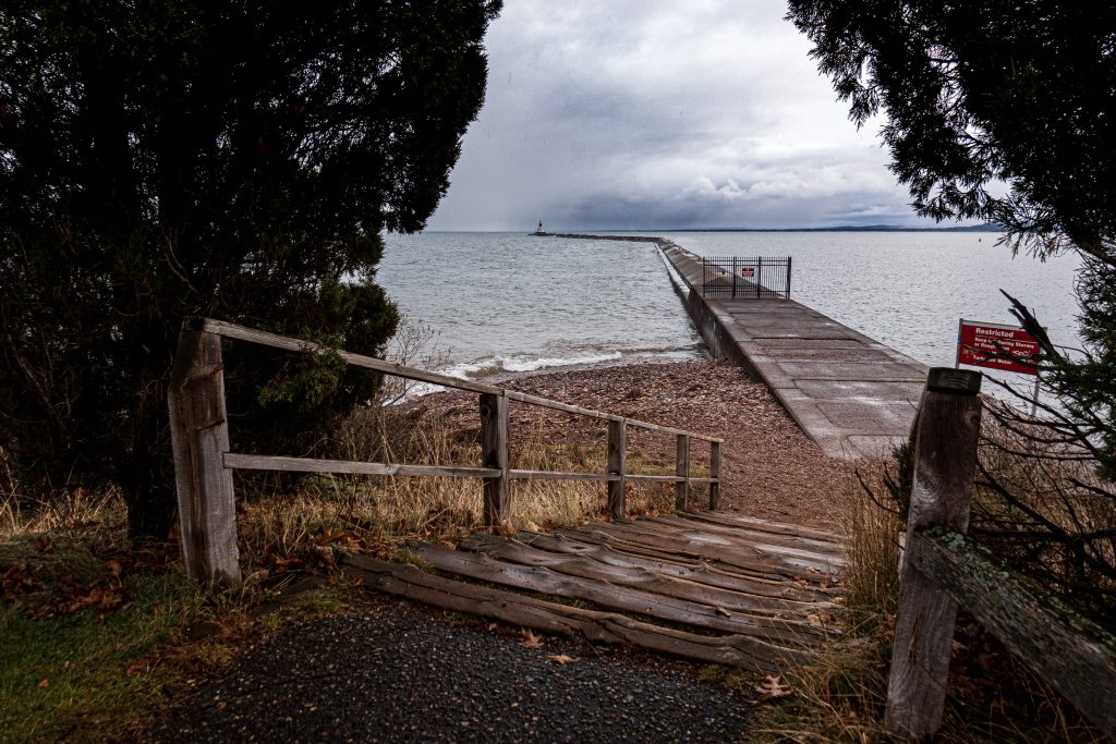
From there I went into the park and stopped to check out the break wall. Note the gate closing it off. It is a nice walk in the summer, but one needs to stay off in the fall and winter. In spite of the ominous skies, the lake was relatively calm.
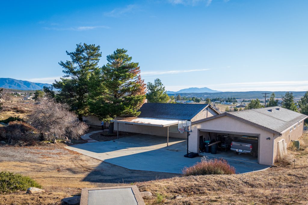
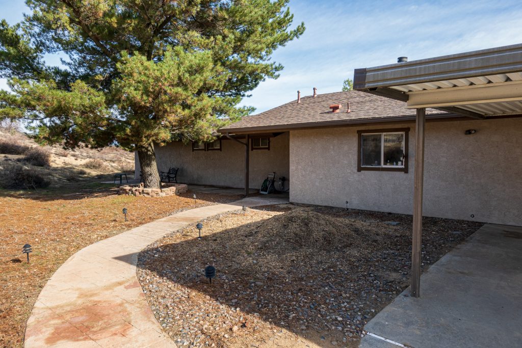
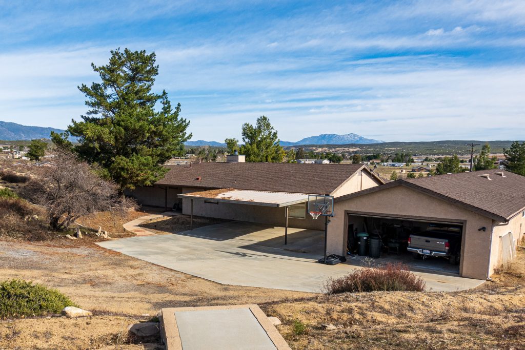
Back in November, I noted that some branches on a nice, big pine tree by our house in Lake Riverside were looking a little yellowish. My worst fears were realized when we got out to the house after Christmas and these branches were clearly dead. You can see the dead needles on the right side of the right hand tree.
With the tree right next to the house and partially over the roof, I knew that I needed professional help. I had some hope that the tree might be saved, and if that wasn’t possible, I needed a tree service to take it down safely. Consulting with our local Facebook group led me to Cherry Tree Service. Chris and Roger came out and sadly confirmed my fears that the tree needed to come down.
We scheduled the work for January 1st (they are dedicated) and they showed up in the morning with their equipment. They set up quickly and got to work. Here is a time-lapse video of the tree removal.
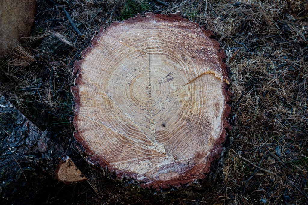
Reduced to branches and small chunks, the tree was removed. Looking at part of the trunk, you could see how fast the tree grew when it was young and how that growth slowed as the tree became larger.
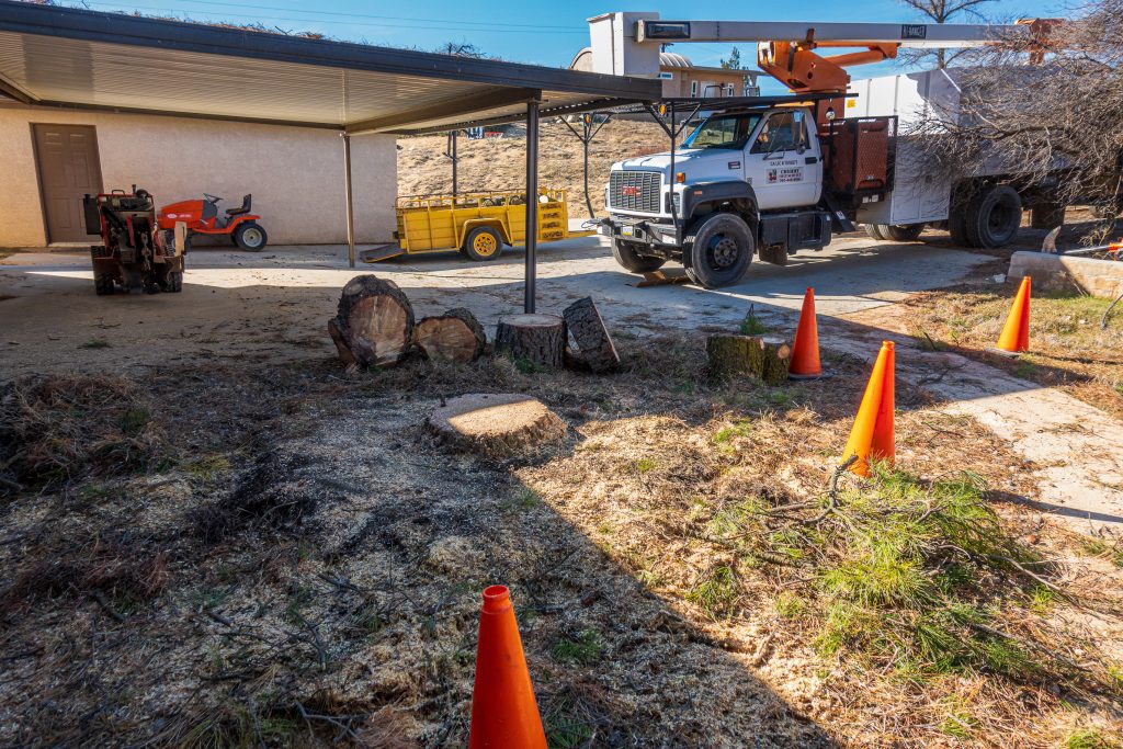
Within about an hour, the tree was nothing but a stump.
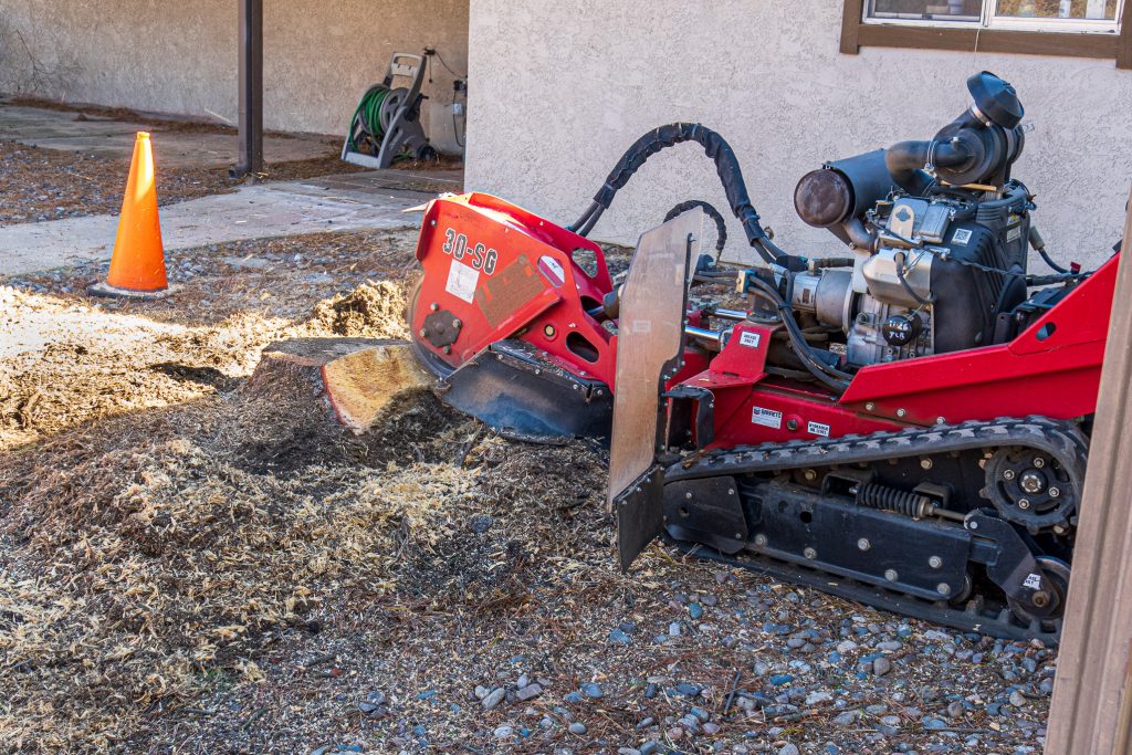
Chris has a remarkable stump removing machine that quickly ground the stump into mulch.
After a couple of hours of work, all that was left was a mound of mulch and dirt.
It was almost as if the tree had never been there. We will miss its shade and the character it provided to the property.
Following up on my earlier post on Nashik, we headed out on Saturday morning to visit Anjaneri Fort, a historic and religious place on the road to Trimbakeshwar. Anjaneri Fort is said to be the birthplace of the Hindu god Hanuman. Hanuman is a major figure in the Hindu epic Ramayana. Anjaneri was Hanuman’s mother and gives her name to his birthplace.
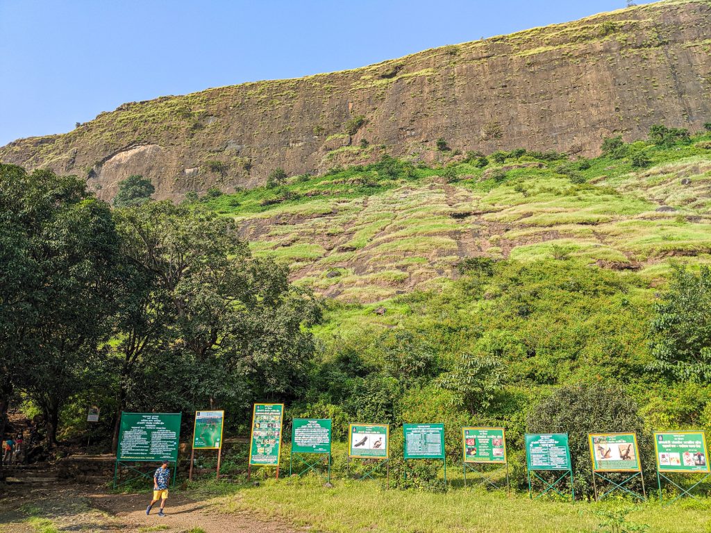
It was about a 45-minute drive from our hotel to the turn off the main road. We headed up sharply, through a small village, and into the area managed by the Forest Department. There was a small entry fee. We arrived at the parking lot below the impressive cliffs of the Trimbakeshwar Range. This is the view from the parking lot.
At this point we confirmed what I had read on-line: Cameras are not allowed. My new Sony RX-100 M5 had to stay in the car. All the pictures in this post were taken with my Google Pixel 2, most using Adobe Lightroom Mobile.
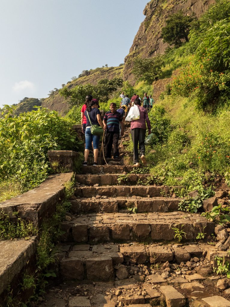
It was somewhat warm and humid as we made our way up the stairs clinging to the side of the steep cliff of the ghat. I’d brought Gatorade this time to be sure I didn’t overheat like I did a week earlier in Thane. The stairs are in decent shape and you ascend quickly, passing others who are coming down.
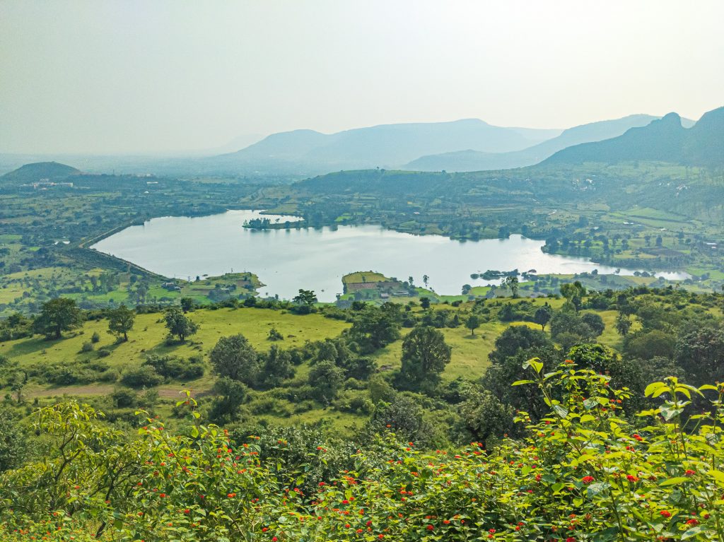
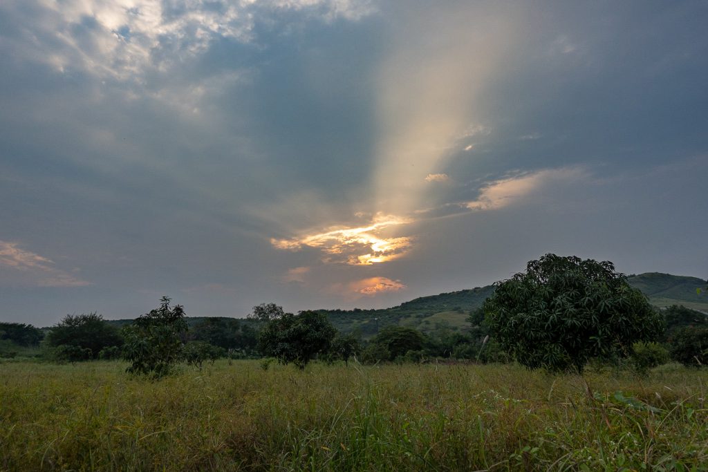
Having driven up a fair amount to reach the parking lot, the view of the countryside is quite impressive. This year had a very generous and long-lasting monsoon and the countryside was brilliantly green. This is a view of Anjaneri Lake from the path.
For those reading from the homepage, the story continues below. Please read on.
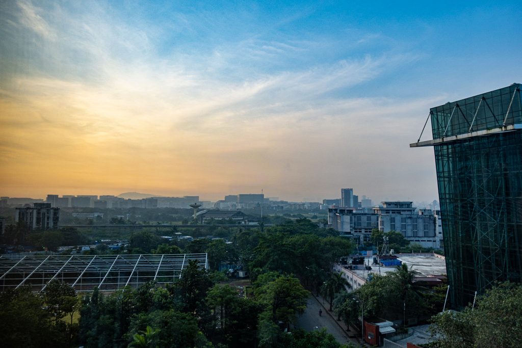
Back in October, on my first morning in India, we had plans to go to Yeoor Hills, on the north east side of Mumbai near Thane for some sightseeing. Always wanting to win the fight against jet lag quickly, I was up early Sunday after arriving after midnight the night before. I was greeted by a hazy but pretty sunrise outside the window of my hotel.
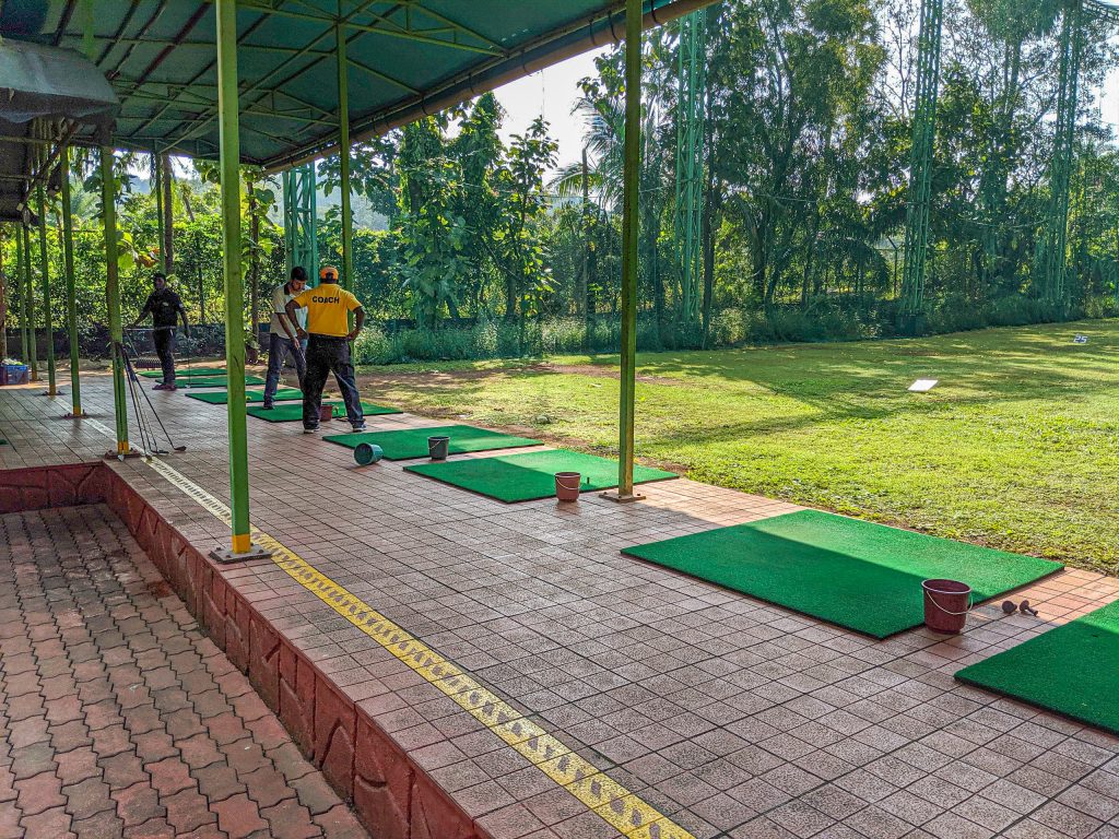
I was up early and in the car heading for Thane at 8am. Our first stop was the Golden Swan Country Club in Yeoor Hills. This 9-hole course is nestled in the hills on the east side of Sanjay Gandhi National Park in the northern part of Mumbai. We hit a few golf balls as the rest of our little Sunday outing group arrived.
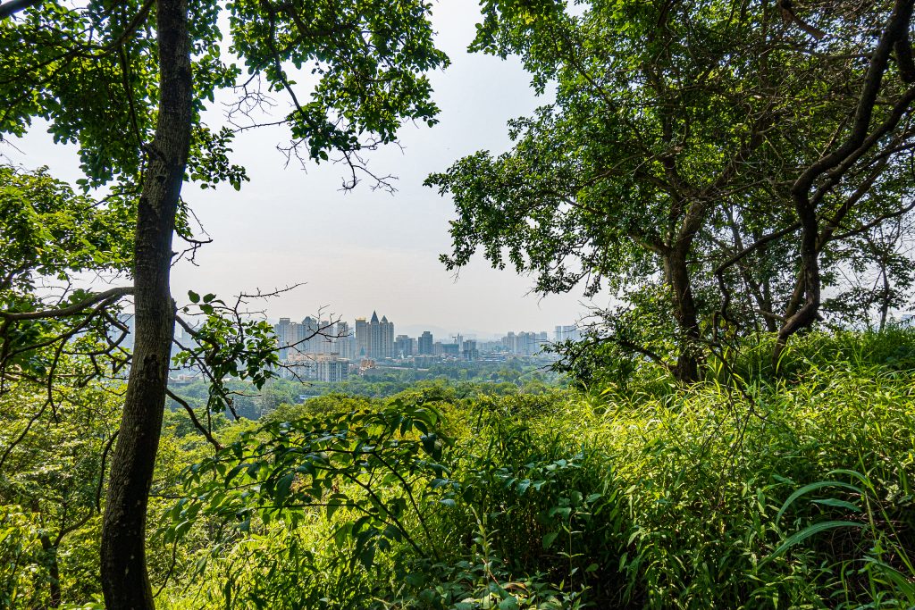
Our next stop was the Mandapa Forest Bird Watching zone. We were there for a short trek, not for bird watching. After driving down from Yeoor Hills, we went north a couple of kilometers before turning back up towards the hills. We went from busy offices to residential to the end of the road against the wooded area at the foot of the hills west of Thane. There was an entrance fee for non-residents (they will check the prefix on your license plate or ask for identification) but it is well worth the cost. You go from the city to the jungle in a very short distance. Views of the city below are remarkable.
The story continues below the fold. At the end of the week we visited Nashik, a city 100 miles (160 kilometers) northeast of Mumbai. Here is a teaser photo to encourage you to click on “continue reading” to see the rest of the post.
After more years than I care to admit, the observatory is operational again. With support from a fellow enthusiast, I spent the time over Labor Day weekend to sort out all of my PC driver issues and get the computer speaking to the mount, telescope, focuser, rotator, and camera. Gathering data on the long weekend and mid-month, I was able to get this image of NGC 7331.
NGC 7331 is 40 million light years from Earth. The smaller galaxies in the lower part of the image are approximately 10 times farther away and so this is not a gravitationally bound group. The common name for this group is the Deer Lick Group. I imaged this galaxy group on my CelestronC-11 in 2011, with my TelevueNP-101 in a wide view in 2009, and it was one of my early targets with the C-11 in 2006. The 2006 image was taken from West Los Angeles. All of the others were taken from my observatory in Lake Riverside. (Please note that the company and product names are separate links so you can find out both about their current products as well as my older ones.)
This image (that’s a link to my gallery) consists of 230 minutes of total exposure time: 110 minutes of luminance (all colors) and 40 minutes each of red, green, and blue. All of the data was collected in 5 minute exposures and combined using the LRGB method to create this final image. If you are interested, I wrote a post in 2017 that describes how these exposures are cleaned up and turned into a final image.
The journey to this image was not smooth. We had three nights of imaging time over the Labor Day weekend. I used the first to get everything connected and calibrated. On the second, I captured data. My general order of imaging on a rising object (NGC 7331 was rising in the east when I took the data) is red, green, blue, then luminance. I was surprised that the blue filter seemed to be producing the brightest images when that should be the luminance filter. I realized on the third imaging night that I had my filter order incorrect and that, in fact, what I had set up as the blue filter was actually the luminance filter. So that final night I took almost two hours of data through the “blue” filter.
After poking around on my old computer and with different software, I determined the correct filter order. But there was another problem. The color data were very poor, and my calibration frames (see the data reduction post) were very poor. I was able to get back out to the observatory later in September and take a new set of color data. That was married with the not blue but luminance data in PixInsight to create this final image.
I am very happy to have the observatory operating again. Without the moral support of the friend who helped me while he got his imaging working, I’d have put it off again. It’s great to have a real deep-space image back in the blog and the gallery.
We pick up our story as we arrive in beautiful Anacortes, Washington. 90 miles north of Seattle, Anacortes is the gateway to the San Juan Islands, a beautiful chain of islands connected by the excellent Washington State Ferry System. We were here for family reunion on my wife’s side. This post will cover very little from Anacortes, as that was all family activity, but much more on our drive south through the redwoods and down the California coast. But first, Anacortes.
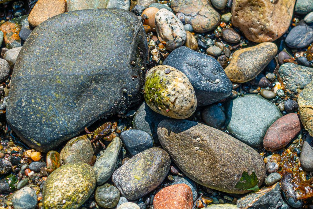
If you visit Anacortes, you must visit Washington Park. Located at the far west end of the city, next to the ferry terminal, this large park has many hiking trails and accesses to the sound (I suppose it’s the sound and not the ocean, correct me if I am wrong). I went there with my daughters on a nice sunny day and came upon this small crab. He (it?) is in the lower left side of the picture. Remember that you can click on any picture to see a full-sized version.
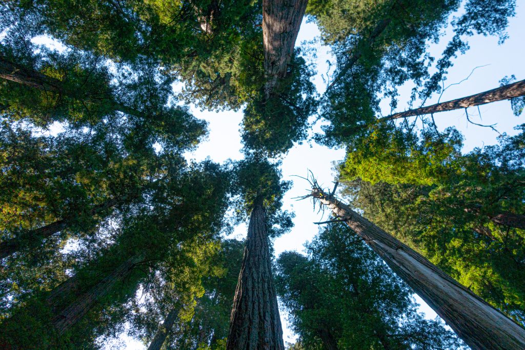
For those of you reading from the blog home page, from here I will drop to “read more.” Click through to see a kayak trip, The redwoods, Point Reyes, and Monterey. Here is a teaser picture. If you are reading from a direct link, like from Facebook, then you can disregard this message.
With a major family reunion planned for my mother-in-law’s 90th birthday, we decided to take two weeks and drive two and from Anacortes, Washington. Our route took us inland on the way north and closer to and along the coast on the way south. This post will mostly be a travelogue and, following my normal practice, I don’t include too many pictures of people. This is my third road trip post, the first being our trip to Anacortes in 2011, the second being an extended return trip from Anacortes in 2017.
We left on a Sunday morning, getting on the road around 8:30am. We went north through the San Fernando Valley, then merged on to the Antelope Valley Freeway, CA-14 in Sylmar. From there passed through Palmdale and Landcaster, stopping for gas in Mojave. This was a day for distance. After passing through the beautiful Red Rock Canyon State Park, we merged with US-395 where CA-14 ends just outside of Inyokern. Lunch was in Bishop, where my wife took over driving. When we passed through Independence, it was too early to have lunch at the Still Life Cafe, a remarkable French restaurant in this small town (population 660).
The terrain, which had started off with the coastal mountains, moved to the Mojave Desert and the arid and spectacular eastern Sierra Owens Valley, began to switch to pine and meadows. Mono Lake is beautiful I finally took a picture just outside of Bridgeport, California, 360 miles after departing Los Angeles.
You climb out of this valley, into a pine forest before turning northward towards Nevada. After you turn north, the highway follows the West Walker River. It flows down into another Antelope Valley, by the small town of Walker, feeding Topaz Lake and ultimately Walker Lake in Nevada. There was still plenty of water in the river from our generous snow-pack this year.
It was then just a few more miles to Topaz Lake and the Best Western Topaz Lake Inn. With the conclusion of our first day, I will drop in the “continue reading” break and hope that you look at the pictures ahead from Crater Lake and Hood River. More to come next month in part 2.
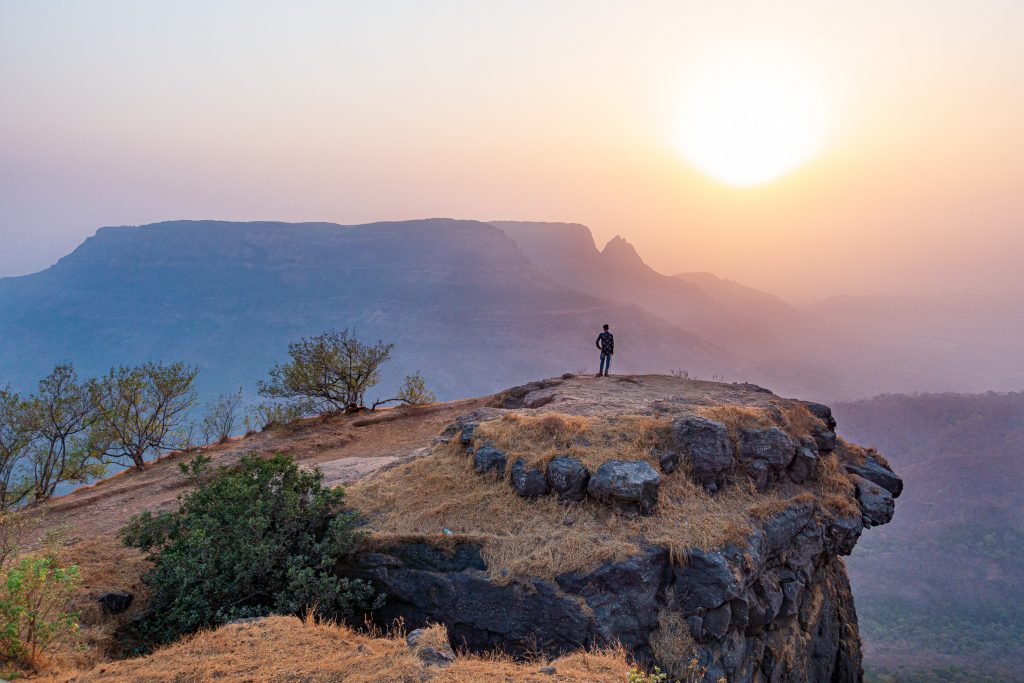
This Spring the team took a return trip to Matheran, reprising our visit from three years ago. Matheran is an eco-sensitive hill station 56 miles (90 km) east of Mumbai at the edge of the Western Ghats. Hill stations are towns at higher altitude than the surrounding area. Matheran is at about 2,600 ft (800 m) above sea level and Wikipedia tells us that “Matheran” means “forest on the forehead.” Hill stations are popular tourist destinations as they are generally cooler than the cities. To get you interested, here is a picture from Louisa Point where we went to see the sunset. Note that clicking on a picture will bring up a full-sized version.
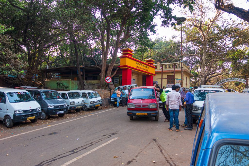
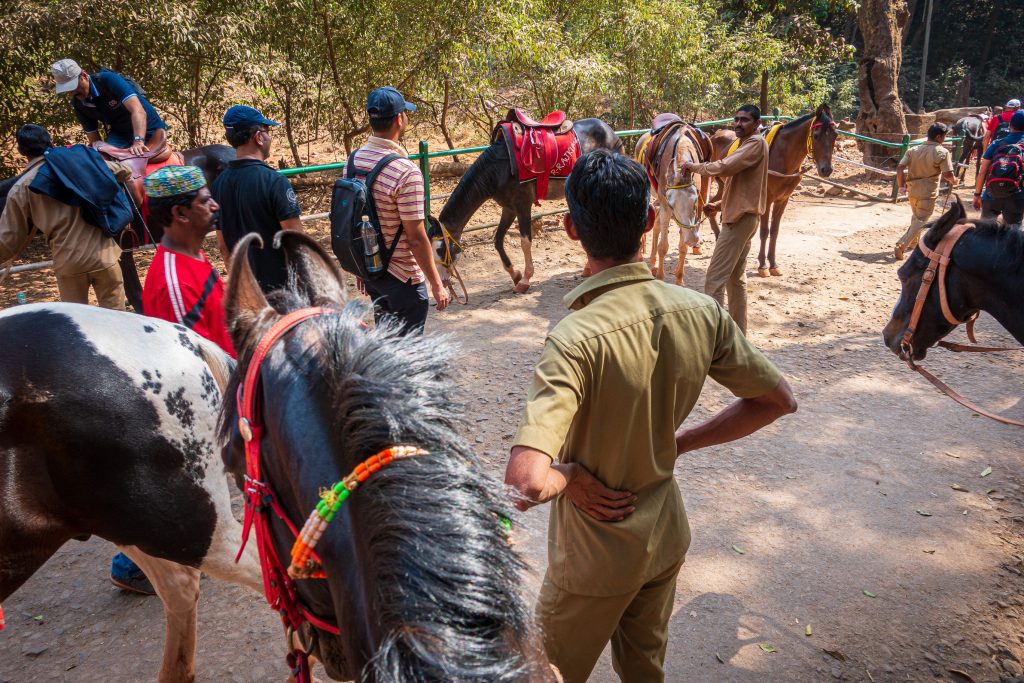
Matheran’s status as an eco-sensitive hill station means that development is restricted. No cars are allowed beyond the Dasturi parking area a mile or so from the main village. Travel into the village is either on horseback or on a narrow-gauge railroad. We drove up to Matheran in several cars, arriving at the parking area by late afternoon.
Our host had arranged for horse transportation. We assembled the group and headed off to our hotel.
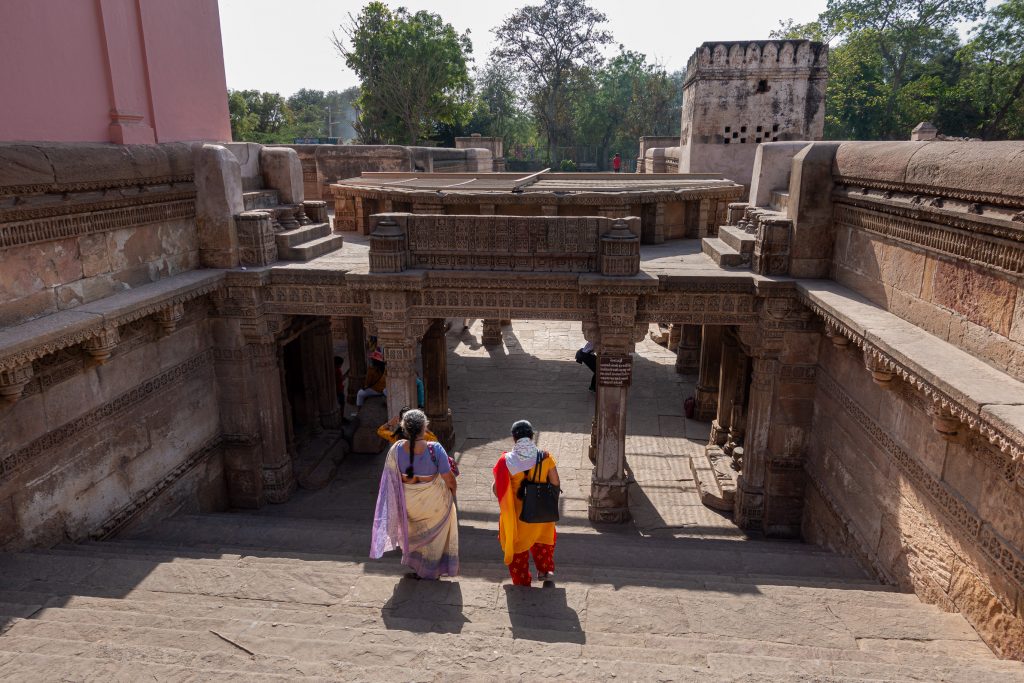
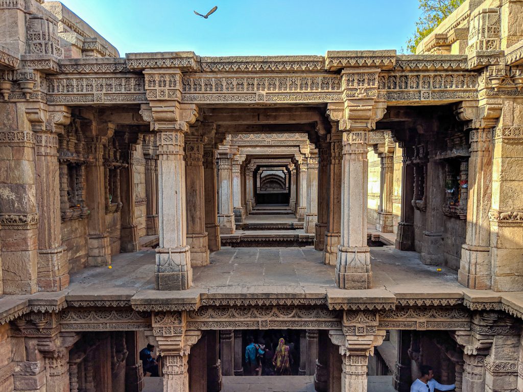
On my last trip to India, when I was in Gandhinagar, we left the office a little early to do some sight-seeing. We visited the Adalaj Stepwell, a stepwell built in 1498 by Queen Rudadevi in memory of her husband, Rana Veer Singh, king of the area at the time. Stepwells, large pits cut into the ground or rock, collect water from monsoon rains and are common in the arid areas of India (Wikipedia). One reaches the water by descending steps down into the well, hence the name stepwell. Two ladies are stepping down into the well in this photograph. (Click on any picture for a full-sized version.)
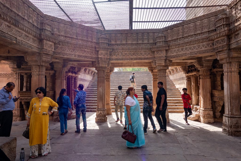
There is a legend about the building of the well. The Hindu king Rana had planned to build a well at this spot, but the project was interrupted when he was attacked by the neighboring king, Mohammed Begda, and killed in battle. Queen Rudadevi wanted to join her husband in death but was forbidden to do so by Begda. Begda offered her marriage and the queen agreed on the condition that Begda complete the well. It was quickly built. At the dedication of the well, the queen threw herself into the well, drowning. The rotunda of the top level of the well shows the intricate carvings that cover the interior of the well.
The five-story deep well had little water as I was visiting at the end of the dry season. This is a view of the fifth level with a bird flying above.
On May 4th, I had the opportunity to attend an event at Mt. Wilson Observatory celebrating the 100th anniversary of the official opening (first light was in 1917) of the 100-inch (2.54 meter) Hooker Telescope. Sponsored by the Institute for Student Astronomical Research (InSTAR) and PlaneWave Instruments, it was a afternoon through evening event that allowed us to get close to this historic observatory. The event included a full tour of the observatory, several informative presentations, dinner, and then viewing through the 100-inch telescope.
We arrived around noon, and broke into two tour groups to visit the telescopes. We started off from the Museum and headed past the 150′ Solar Tower toward the 60″ telescope. (Click on a picture for a full-sized version.)
Our guide was Tim, a scientist from CalTech. Tim has been giving tours at Mt. Wilson for 30 years. These are real tours. You get to get inside the domes and touch the telescopes. There is a lot of history here and the guides present it very well. The 60-inch (1.52 meter) Telescope was the largest in the world when it went into service in December 1908.
The size and nature of the galaxy and the universe were at the center of debate in astronomy in the early 20th century. The answers were found at Mt. Wilson. A major discovery in this debate was made with the 60-inch Telescope by Harlow Shapley. Shapley had been hired by George Ellery Hale to work at Mt Wilson. Shapley, used measurements of Cepheid variable stars to determine the dimensions of the Milky Way. He determined that it is far larger than previously thought. He also established that our solar system was in a nondescript, off-center position in the galaxy.
The 60-Inch Telescope was a marvel of engineering and construction. George Ellery Hale, the moving force behind Mt. Wilson Observatory, had a knack for raising money and a determination to build bigger and bigger telescopes. More information and more photographs below the fold.
You must be logged in to post a comment.