Udayagiri Jain Caves, Bhubaneswar

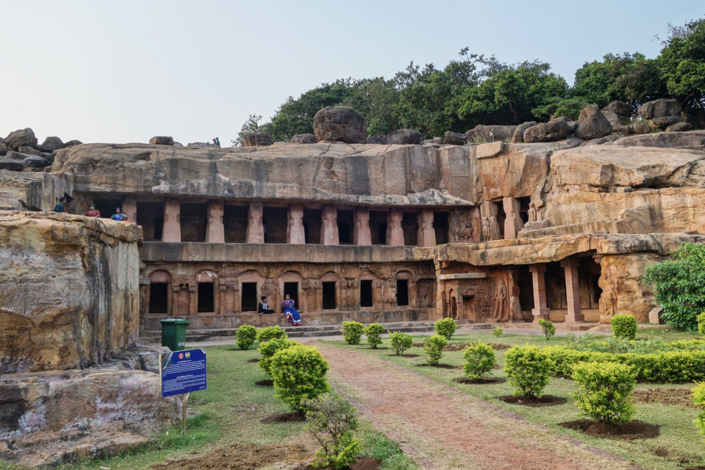
Back in October 2015, I had the opportunity to visit Bhubaneswar, India for business. After our work day, we had the opportunity to visit the Udayagiri Jain Caves. Located on the northwest side of town, these caves were carved into the sandstone hill starting in the first century B.C. as dwelling retreats for devotees of the Jain religion.

Jains practice extreme asceticism so the dwellings are sparse on the interior. Not so the exterior which has many detailed carvings and reliefs. Rani Gumpha or the Queen’s Cave is perhaps the most impressive.

Rani Gumpha or Queen's Cave, cave #1 at Udayagiri caves

Rani Gumpha or Queen’s Cave, cave #1 at Udayagiri caves

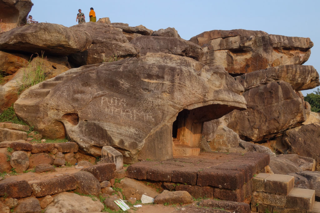
There is a delightful carving of a tiger known as Bagh Gumpha. Yes, the “Tiger Cave.”

Bagh Gumpha or Tiger cave

Bagh Gumpha or Tiger cave

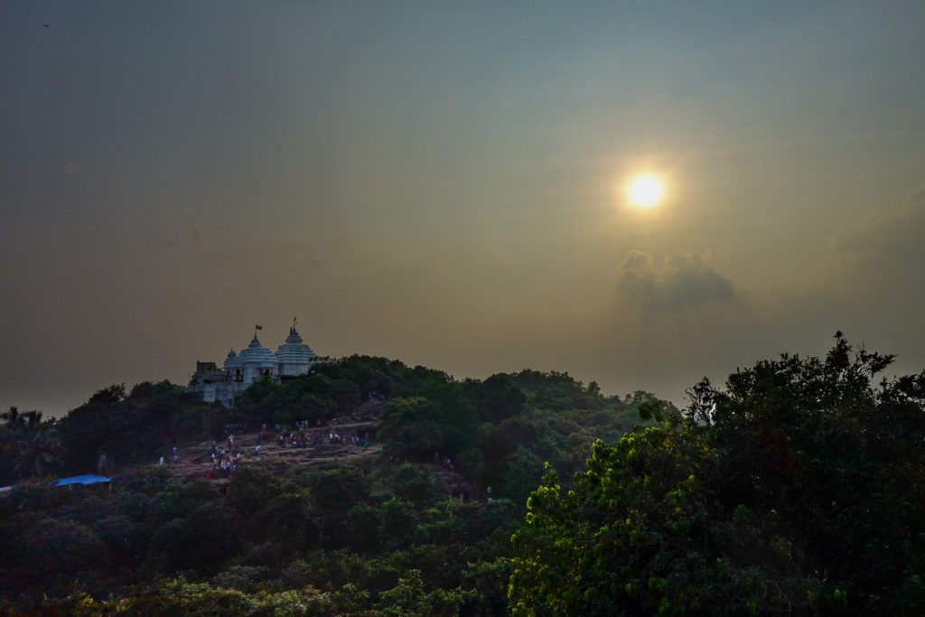
Udayagiri is part of a larger complex of caves and temples that includes caves and temples on Khandagiri hill. This is a view looking across to Khandagiri temple.

The Sun setting behind Khandagiri temple

The Sun setting behind Khandagiri temple

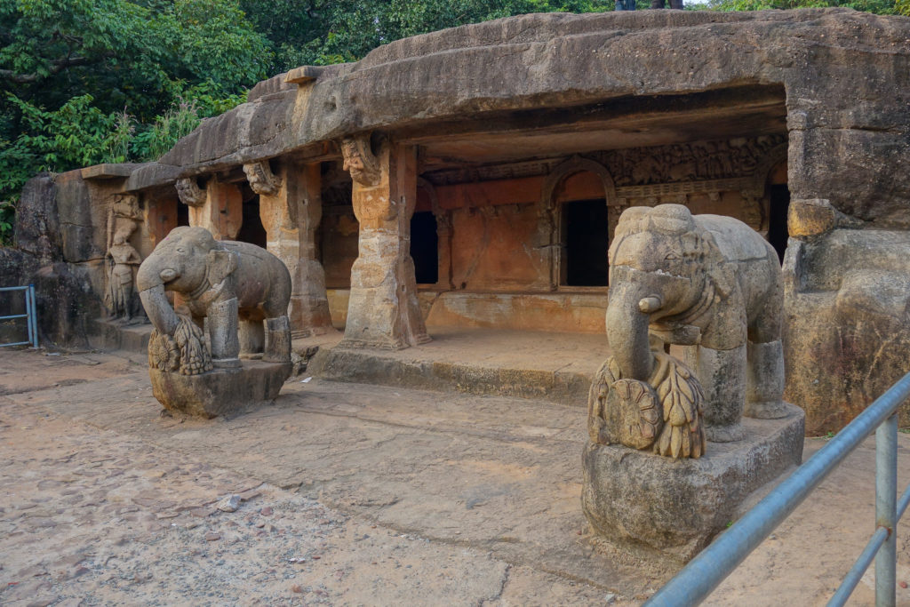
Small Elephant Cave has beautiful carved elephants.

Chota Hathi Gumpha or Small Elephant Cave

Chota Hathi Gumpha or Small Elephant Cave

Continue reading

Wide Field Astrophotos

Since I haven’t taken the time to get the observatory up and running for quite a while, I have instead done some night photography with my Sony RX100. To that end, I acquired an iOptron Sky Tracker Pro tracking camera mount. It is a great device, complete with polar alignment scope and internal battery.

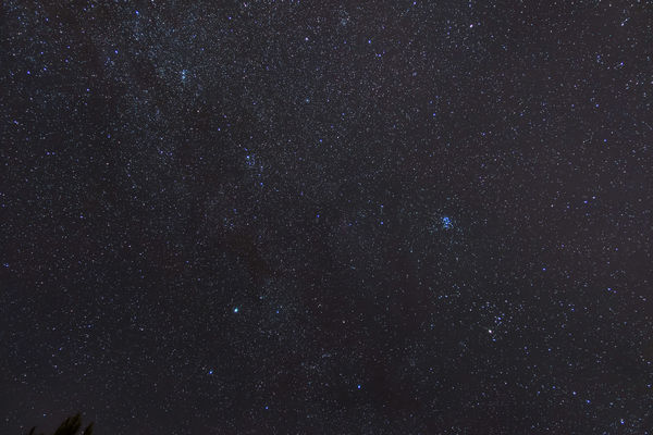
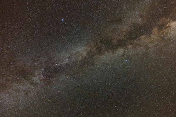
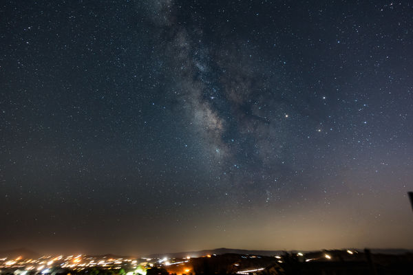
I took two nice Milky Way shots on my first night imaging on September 4th. The first shot is looking directly overhead. The bright star toward the top of the image is Vega, Deneb is near the mid point on the left, and Altair on the right. This is one three-minute exposure processed in Adobe Lightroom. (Lightroom is an absolutely amazing product.)

The Milky Way

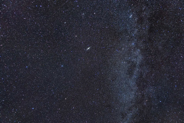
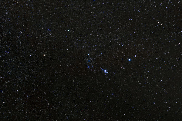
The second shot is in the south, with the galactic center in the middle of the frame. The three bright stars on the mid-right of the image are actually two planets and a star. Saturn is on the top, Mars on the left, and Antares under Saturn. This is also one three-minute exposure processed in Lightroom, with some obstruction removal in Photoshop.

The Central Milky Way

Click on the images to be taken to the detail page in my photo gallery.

Talakadu — October 2015

Last year my hosts in Bangalore took me on a great trip south to Talakadu (or Talakad). Talakadu is a small town about 87 miles (140 kilometers) south of Bangalore and about 30 miles (50 kilometers) east of Mysore. From Bangalore, you take the Kanakapura road south, go well beyond Kanakapura and well into the countryside. It is a pleasant drive.

Talakadu is famous for its temples, and for the temples being buried in the sand. In a conflict in the early 17th century, a curse was put on Talakadu that led to it being covered in sand. Wikipedia covers it well as does this story from the Deccan Herald.

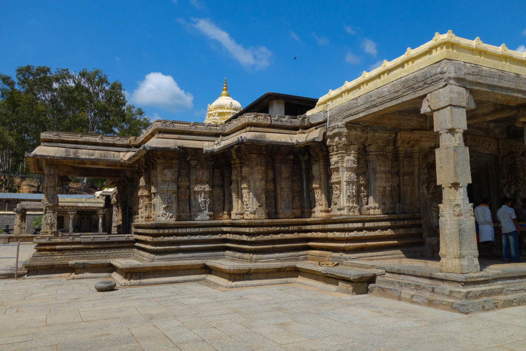
Several of the temples have been excavated from the sand. These are actively used for worship and are being maintained and restored. This is the Sri Vaidhyanatheshwara Temple.

A wide view of Sri Vaidhyanatheshwara Temple

A wide view of Sri Vaidhyanatheshwara Temple

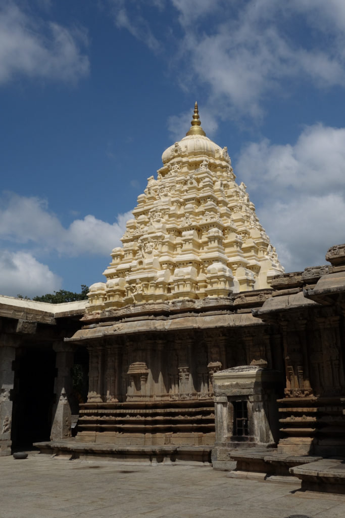
Here is another view. The lighter colored carving is new work replacing stone that had worn away in the intervening years. I have been unable to find the date when these temples were originally built.

The lighter stone is new construction replacing worn away stone

The lighter stone is new construction replacing worn away stone

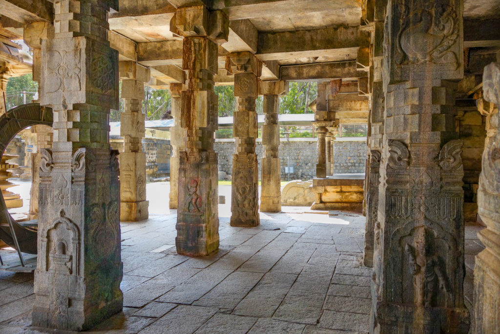
The interior at the back is beautifully carved and decorated.

The interior is quite pretty

The interior is quite pretty

Continue reading

Pterosaurs at LA County Natural History Museum

We recently visited the Los Angeles County Natural History Museum to see the Pterosaurs exhibit. This is an excellent exhibit and I highly recommend seeing it. It runs through October 2nd 2016.

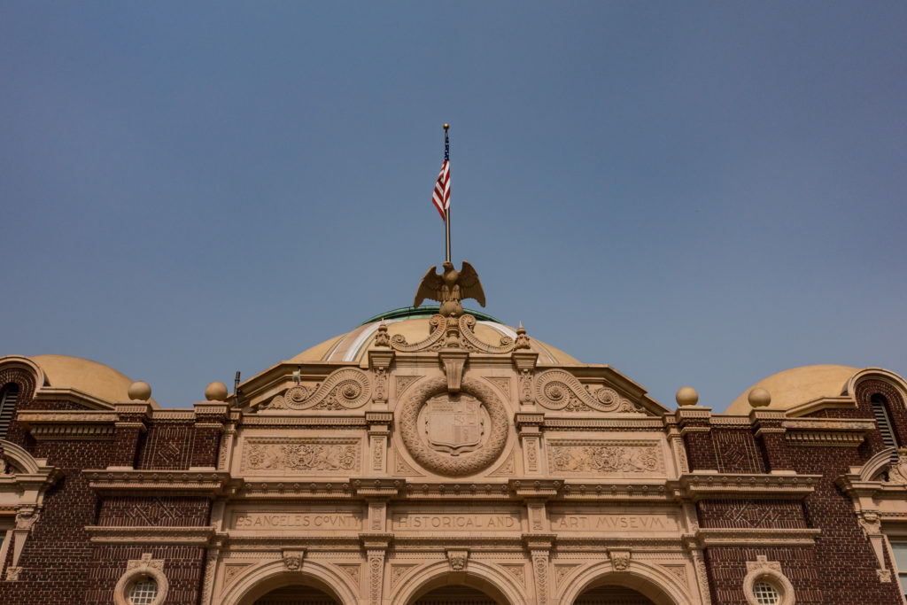
Here is the original entrance to the museum. Now you enter off of either Exposition Boulevard or opposite the Coliseum.

The original entrance to the LA County Natural History Museum

The original entrance to the LA County Natural History Museum

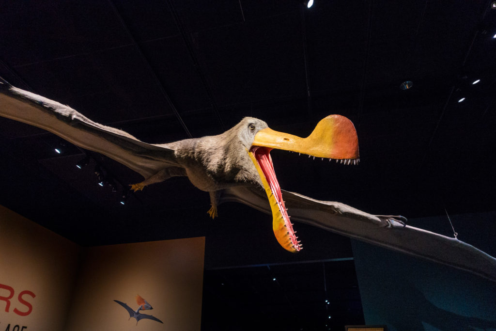
Pterosaurs are prehistoric flying animals. Closely related to dinosaurs, they are only one of three groups of animals to have achieved powered flight, the others being bats and birds. They ranged in size from a wingspan of 18 inches to the massive quetzalcoatlus which had a 33 foot / 10 meter wingspan. I’m not sure of the name of this one, though; it greets you at the entrance to the exhibit.

This pterosaur greets you at the entrance to the exhibit.

This pterosaur greets you at the entrance to the exhibit.

Continue reading

Julian Gold Mine

Back on the July 4th weekend, we traveled south from Lake Riverside to visit the historic town of Julian. It is about a 50 mile, one-hour drive through beautiful countryside from Aguanga, through Oak Grove, through Warner Springs to Julian. We have visited many times but not for the last couple of years. But on all of these visits, we have not gone to the Eagle & High Peak Mine tour.

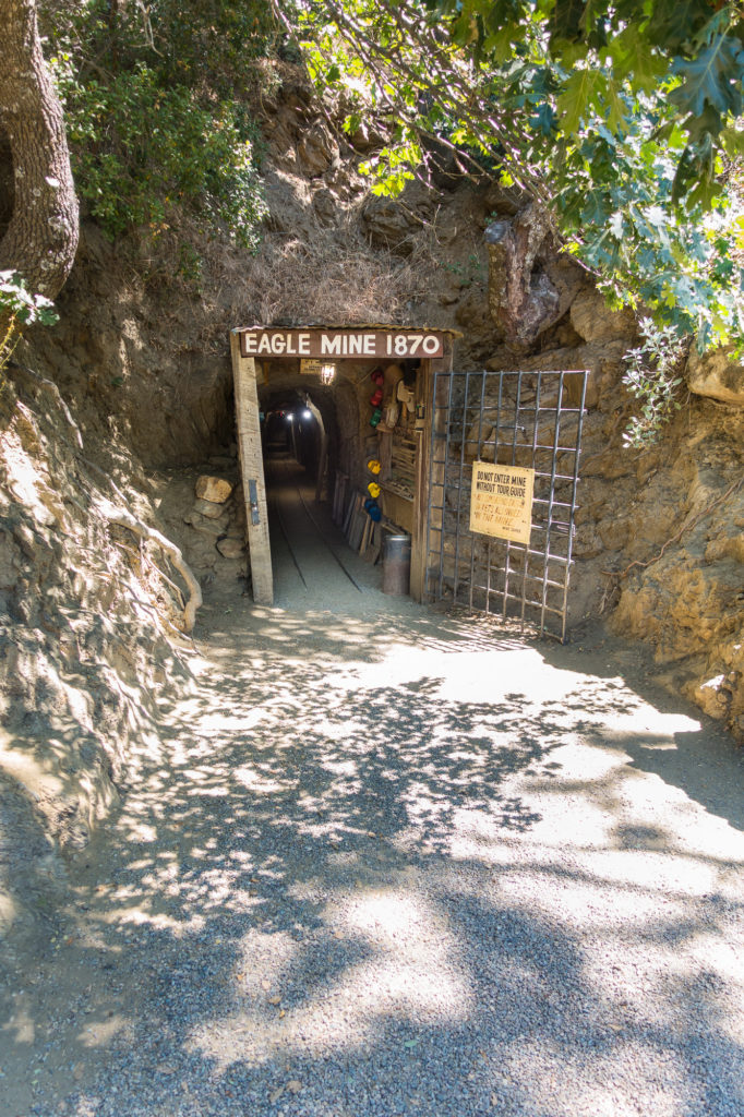
Yes, you do walk into the hillside.

The entrance into the Eagle Mine and the starting point for the tour.

The entrance into the Eagle Mine and the starting point for the tour.

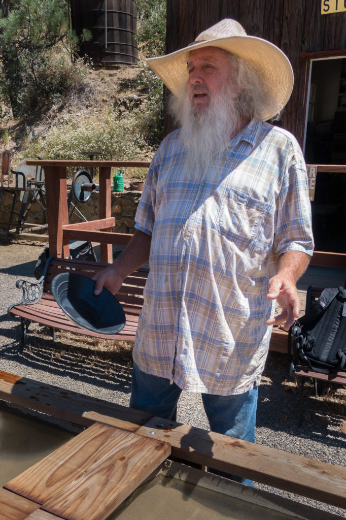
The whole reason for going is the tour, of course. This tour has a good guide. He not only looks the part, he is very knowledgeable and presents the content well.

Our rour guide was knowledgeable and presented the material well.

Our tour guide was knowledgeable and presented the material well.

Continue reading

Cedar Springs Trail

On Memorial Day weekend, we took a hike up Cedar Springs Trail in the San Jacinto National Forest. The trail starts about three miles up Morris Ranch Road in Garner Valley. The trail is shown on Google maps as Pathfinder Road. You turn north on Morris Ranch Road from CA Highway 74 (the “Palms to Pines Highway”) at the fire station in the village a few miles west of the junction with CA Highway 371.

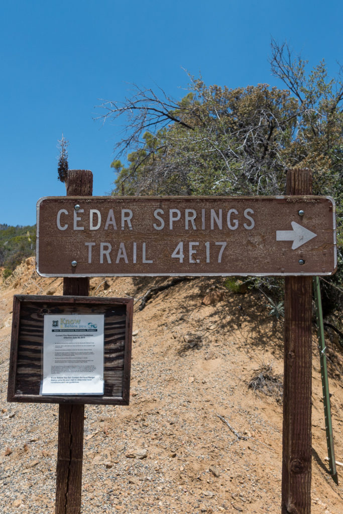
The trail head is clearly marked.

Cedar Springs Trail is at the end of Morris Range Road on the north side of Garner Valley

Cedar Springs Trail is at the end of Morris Ranch Road on the north side of Garner Valley

The San Bernardino National Forest hiking guide describes the trail as follows:

Cedar Springs Trail (4E17) This moderate trail begins on Morris Ranch Road 4 miles north of Hwy 74. The trail travels through private property; please respect private property rights and stay on the dirt road. This 3.2 mile hike begins at 5760 ft. The trail connects with the Pacific Crest Trail along the Desert Divide south of Palm View Peak at an elevation of 6400 ft. To reach Cedar Spring cross the PCT and continue northeast for one mile.

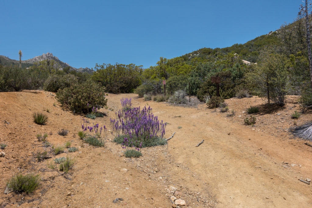
We only went up the first mile, turning around just where the relatively flat road ends and the switchbacks begin. It was a very pleasant day, with the plants in spring green and blooming. The trail starts wide and flat. Clearly this has been used as a road.

There were many wildflowers on the trail

Ther were many wildflowers on the trail

Continue reading

Lovric’s Sea Craft, Anacortes Washington

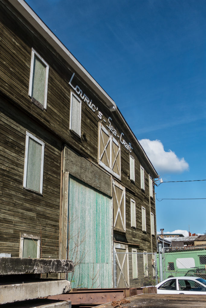
When we were on Spring vacation in Anacortes, Washington, we had a chance to walk through Lovrić’s Sea Craft, a large boatyard on Oakes Avenue. Follow the link to the website for the facility, it has some great before and after pictures of their work on boats of all kinds.

Lovrić's Sea Craft -- A large boatyard in Anacortes, Washington

Lovric’s Sea Craft — A large boatyard in Anacortes, Washington

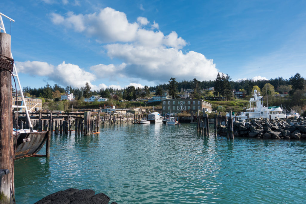
Lovrić (the correct name, according to the website, is without the “‘s” but with the acute accent on the “c”) is on the north west side of Fidalgo Island, along Guemes Channel. This is a view from the boat yard toward the island.

Looking south toward Anacortes.  Cranberry Lake is over the hill to the right.

Looking south toward Anacortes. Cranberry Lake is over the hill to the right.

Continue reading

A Trip to Matheran, Maharashtra India

In March of this year, I had the opportunity to visit Matheran, a ecologically preserved plateau a couple of hours drive from Mumbai. It was a wonderful trip. This post will mostly consist of a small subset of pictures I took on the trip. I cannot thank my TCS colleagues enough for arranging the visit. I do not include any individual pictures except myself to preserve our team’s privacy.

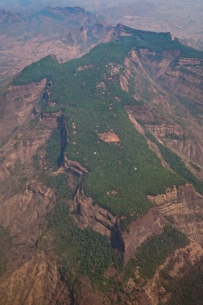
The trip was to Matheran, an ecological preserve and resort area about 55 miles (90 kilometers) from Mumbai. It was a several hour drive in a nice bus. Here is an aerial view of the plateau of 2500 feet (500 meters) altitude that makes up Matheran. I was lucky to get this from a flight from Bangalore to Mumbai during the same trip.

Aerial view from a Jet Airways flight of Matheran

Aerial view from a Jet Airways flight of Matheran

Look below the fold for many more pictures and detail.
Continue reading

Moon, Venus, and Mercury Conjunction

Back in early February, we had an interesting time from a planetary observation standpoint. All of the naked eye visible planets can be seen in the sky in the early morning. Jupiter is in the west, moving east we have Mars, Saturn, Venus and Mercury. On February 6, 1016, there was an old sliver the Moon that joined Venus and Mercury. I was able to get up early and get some images of that conjunction event.

I was a totally clear morning. A little chilly at 40 degrees F with a fairly strong 10-15 mile an hour wind from the east. It was bracing and beautiful. The first shot is a close look a the three objects, the second a wider view of the Anza valley with Santa Rosa Mountain and Toro Peak on the left.

Venus on the right, Mercury on the bottom, and the Moon at the top left.

Venus on the right, Mercury on the bottom, and the Moon at the top left.

Conjunction Wide

Conjunction Wide