
For Thanksgiving last year, we traveled to Marquette, Michigan to see my Mother and family friends. From Tuesday though Thanksgiving in the last week of November, a good-sized November storm came through. I had a chance to take some pictures, and that is the subject of this post.
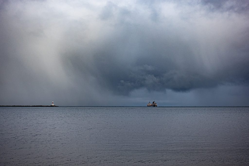
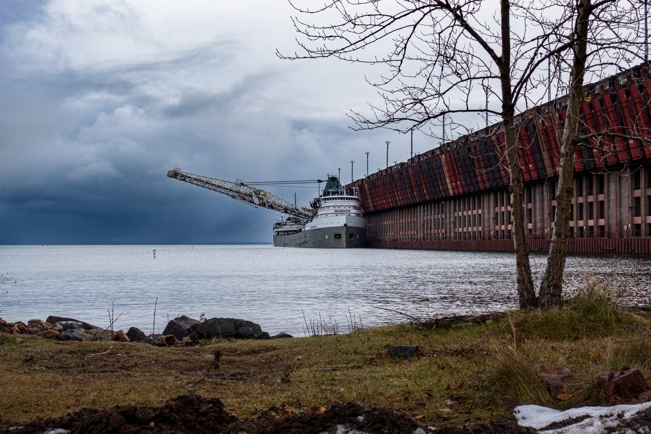
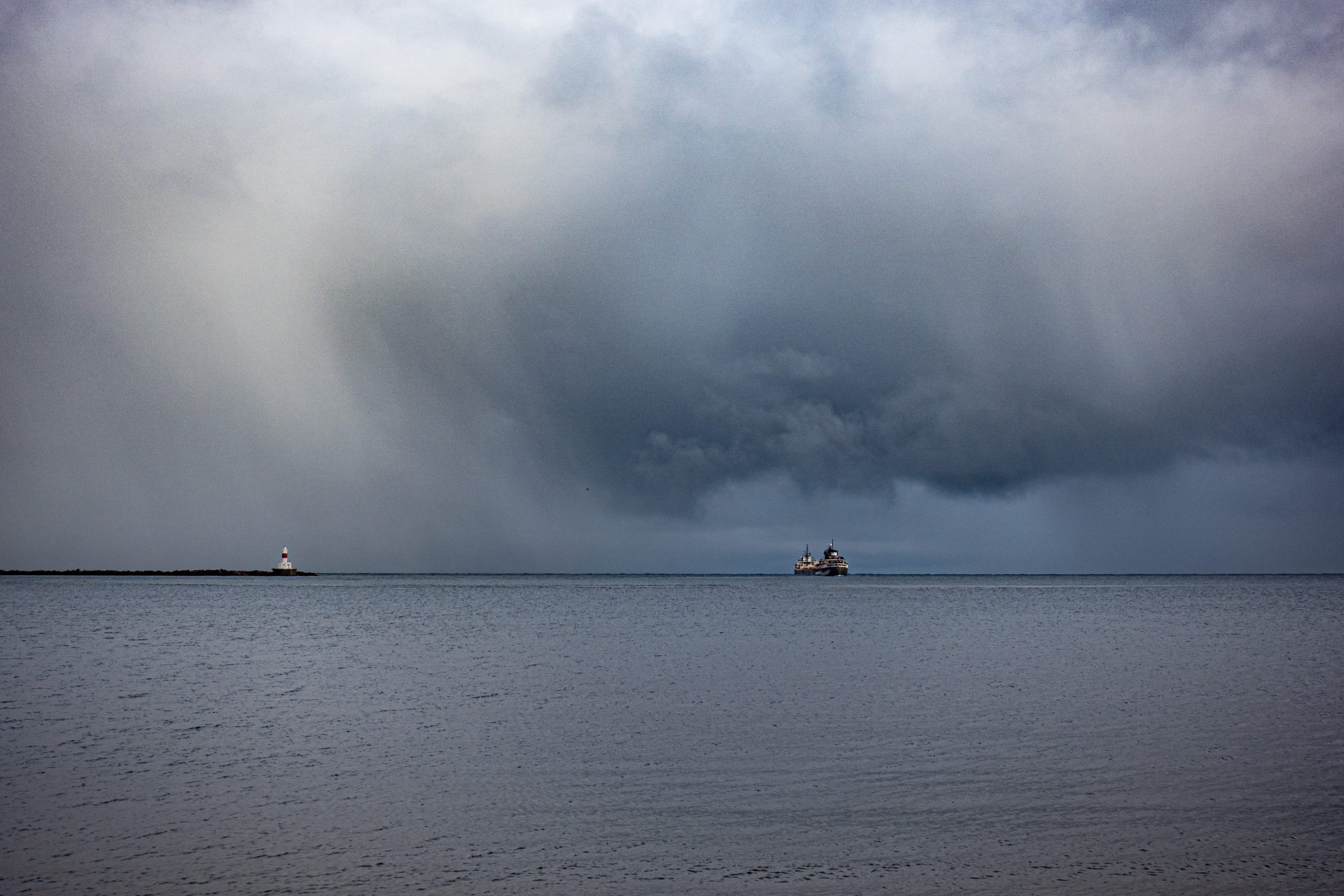
On the Tuesday before Thanksgiving, as the storm was gathering, I bundled up and headed out toward Presque Isle, a wonderful part at the northwest end of Marquette. Just outside the entrance to the park, I stopped by the Lake Superior & Ishpeming Railroad (LS&I) ore dock, the remaining operational ore loading facility in Marquette. As I arrived, I spotted a ship heading out on to Lake Superior beneath an ominous sky.
The ore dock, built in 1912, is 1,250 feet long, 60 feet wide, and the top is 75 feet above the water. It has 200 pockets for ore pellets, 100 on each side each with a capacity of 250 tons. Believe it or not, it sits on 10,000 wooden pilings. The ore boat Saginaw was tied up at the dock and loading ore.
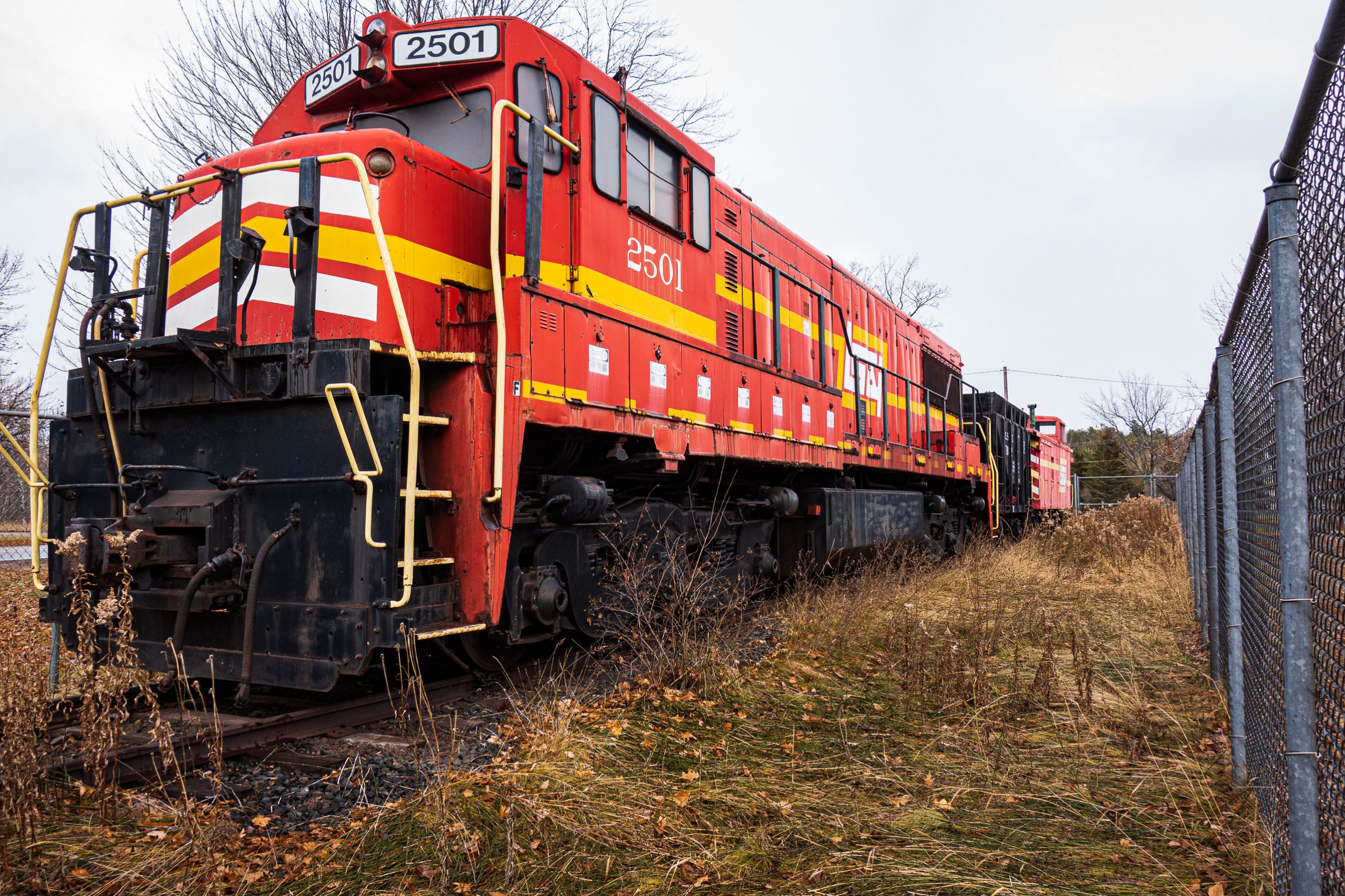
The LS&I have a retired locomotive parked by the dock. It is impressive.
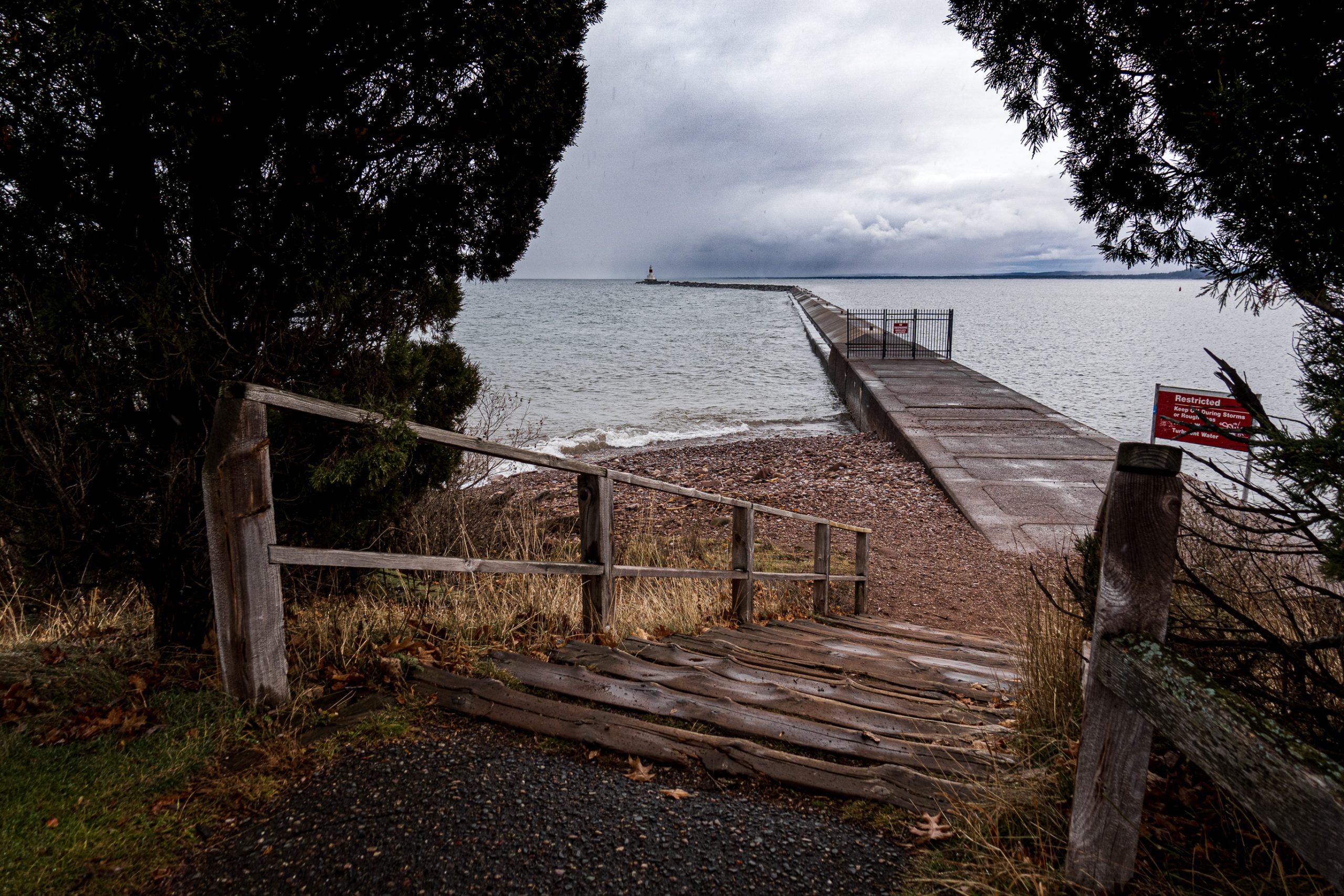
From there I went into the park and stopped to check out the break wall. Note the gate closing it off. It is a nice walk in the summer, but one needs to stay off in the fall and winter. In spite of the ominous skies, the lake was relatively calm.
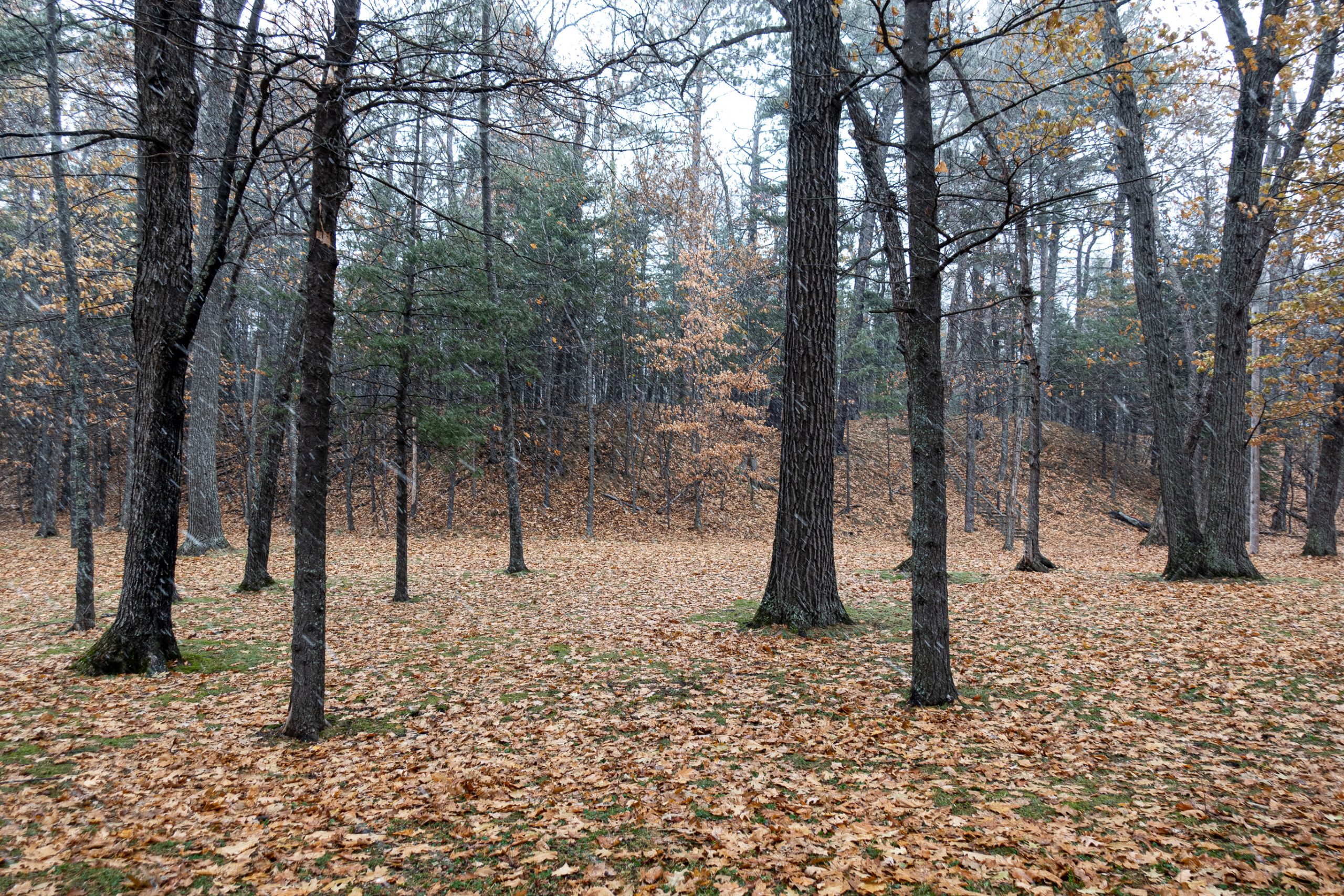
As I was heading back into the park, a snow squall started. Click on the picture for a full sized version and you can see the snowflakes coming down.
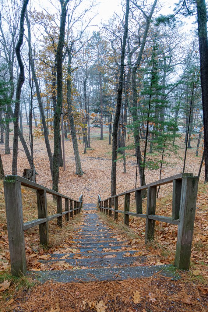
Climbing the stairs seen in the picture above, I had a nice view looking down.
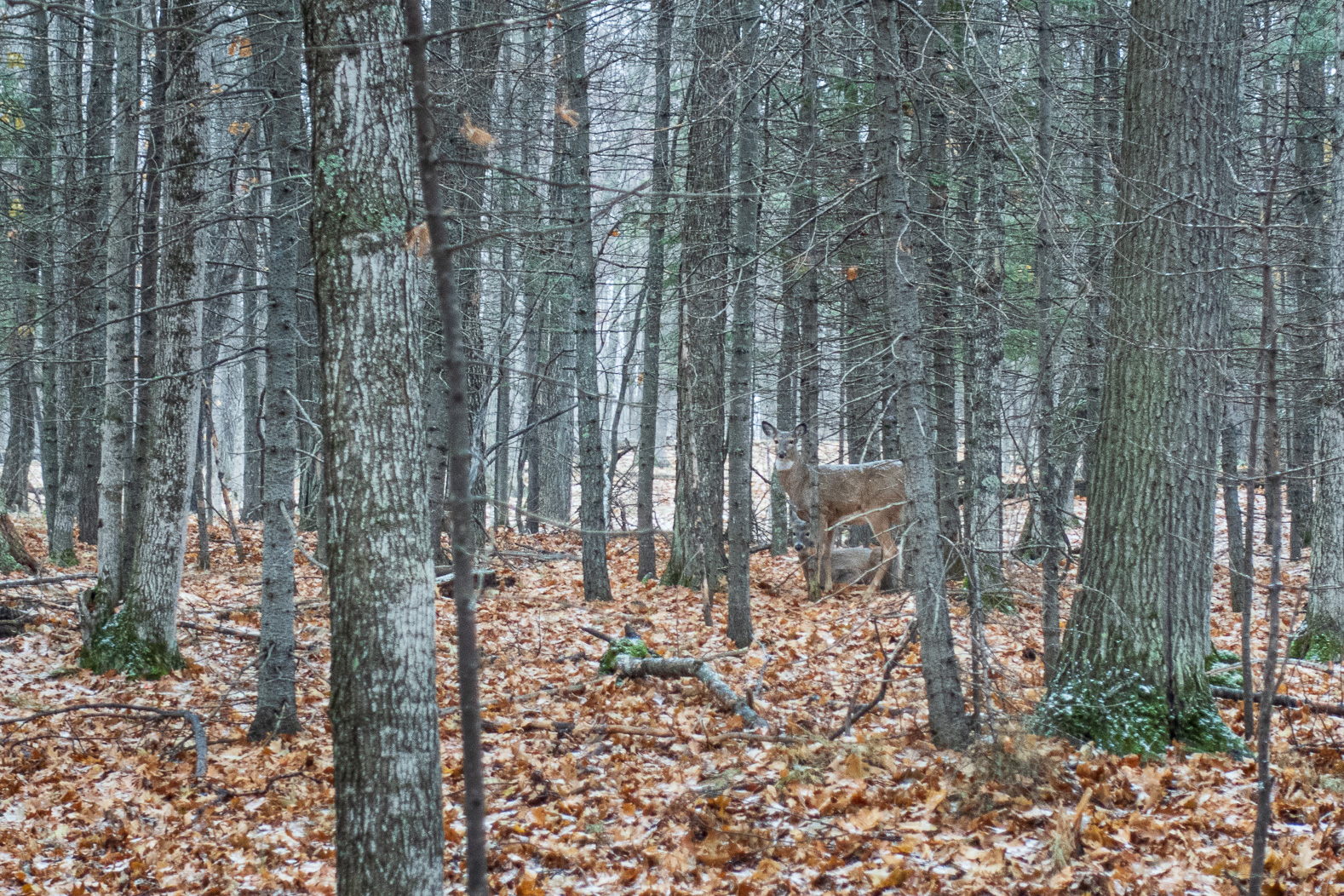
As I turned around, I was surprised to see several groups of deer looking at me. I managed to catch this picture of a couple of them looking at me. Note that the snow is accumulating on their backs.
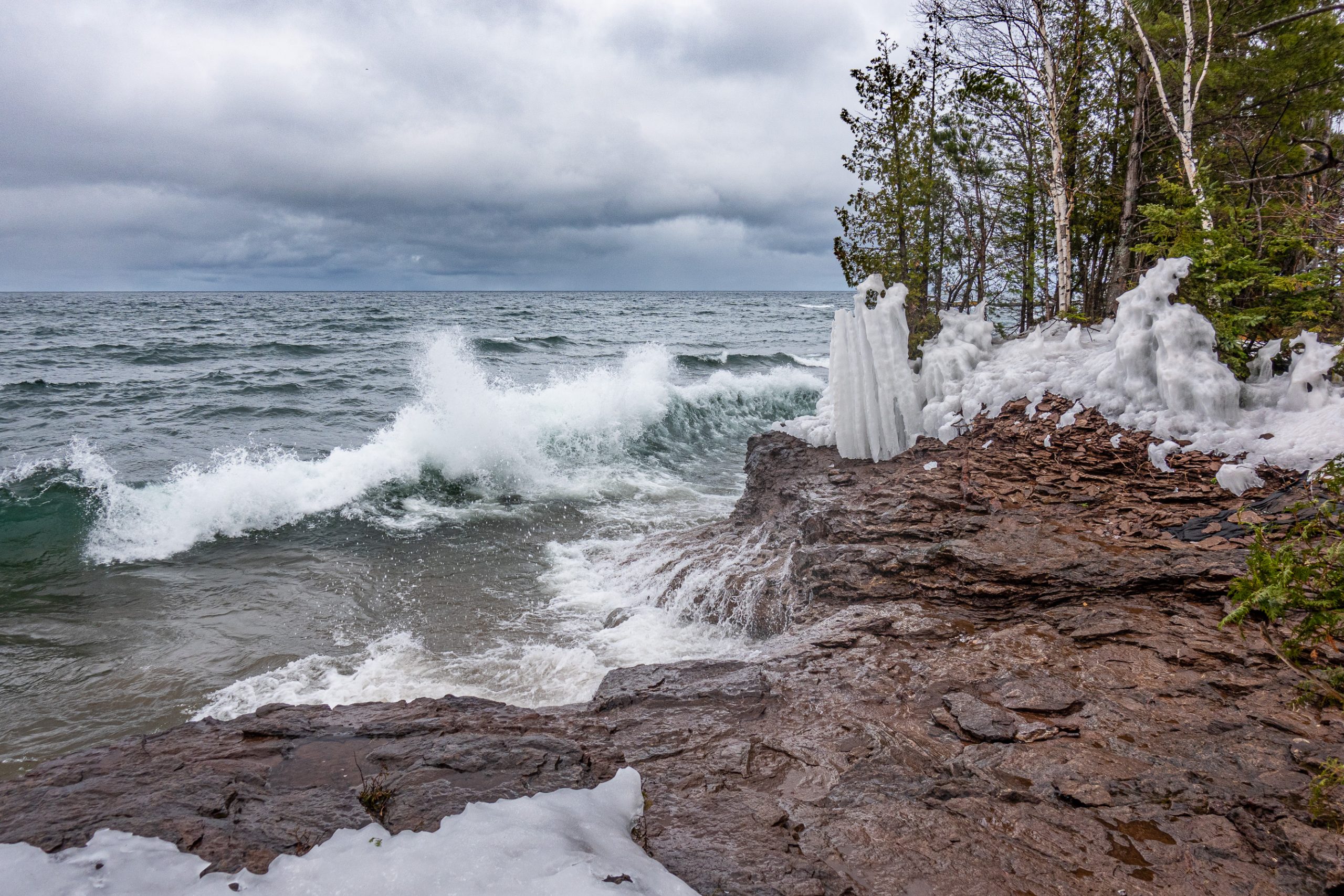
From there I headed to the north side of the park to see Black Rocks. Peter White Drive, the road around the park, is closed during the winter. So I parked by the Presque Isle Pavilion and started walking toward Black Rocks. The weather was clearly coming from the north-northwest. The calm I had seen by the ore dock was due to the shielding of Presque Isle. I could see snow squalls across the bay to the west. The wind was kicking up some good waves that were crashing into the rocky lakeshore.
Water was swirling into the small coves along the lake. The little dot in the middle of this picture is not a boat — it is Granite Island. (You may need to click on the image to get a larger version of the picture.) This small island and lighthouse is now privately owned. The new owners did a great job renovating it. Visit their website as it has the story of the renovation and operating webcams.
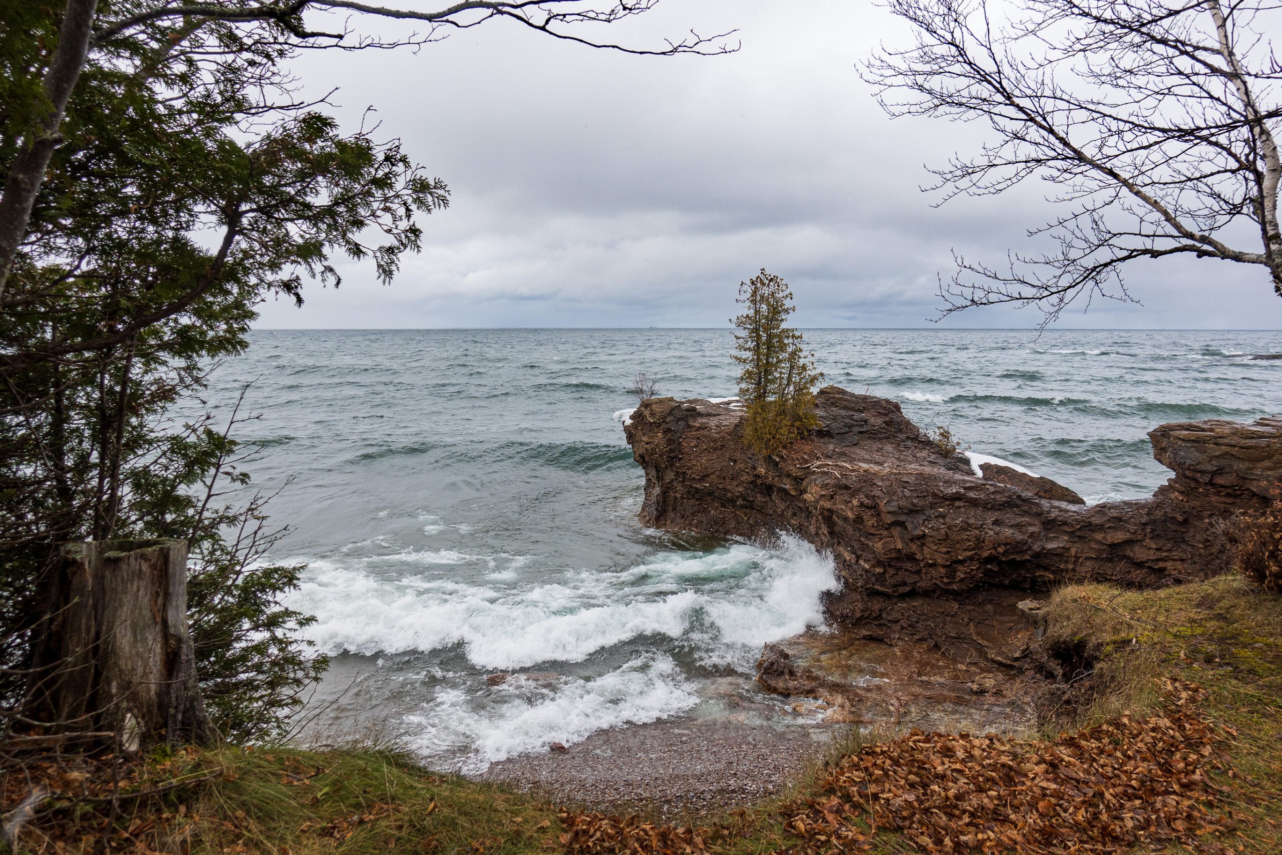
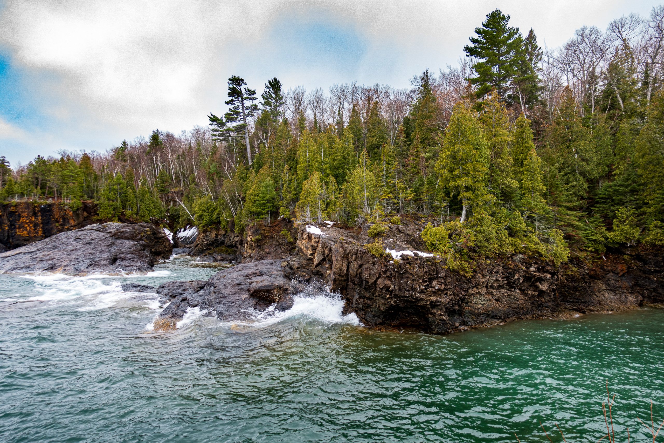
Walking over to the east side of the rocks, you come upon a protected cove. In the summer, people jump off of the cliffs in the middle of the picture.
Going back out to the west side, I walked out on to Black Rocks. They are an amazing lichen-covered rock formation. The swirling waters and menacing sky were beautiful. Granite Island is visible in the center of the frame.
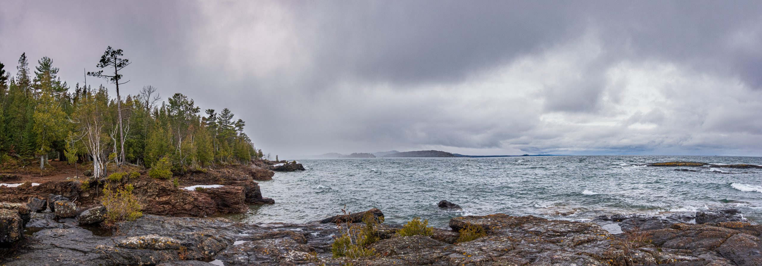
This panorama shows the view to the west, back toward Sugar Loaf and Big Bay far in the distance. There is a snow squall over the land just to the left of the center of the frame.
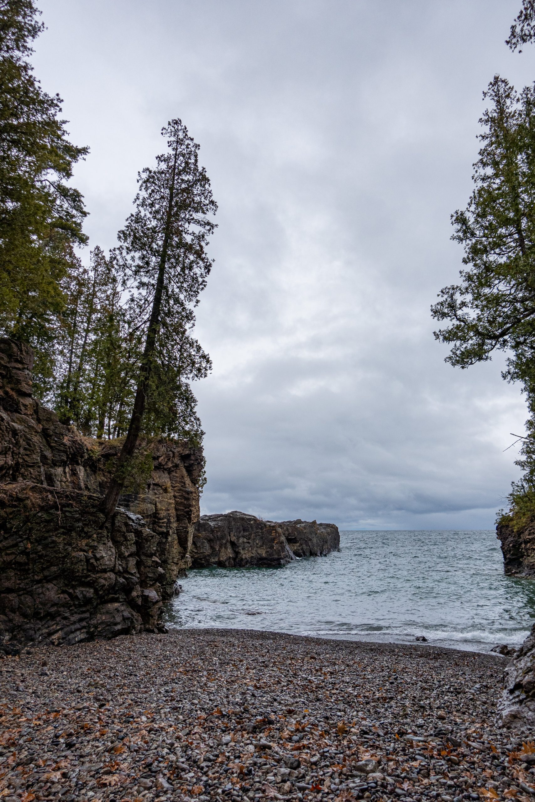
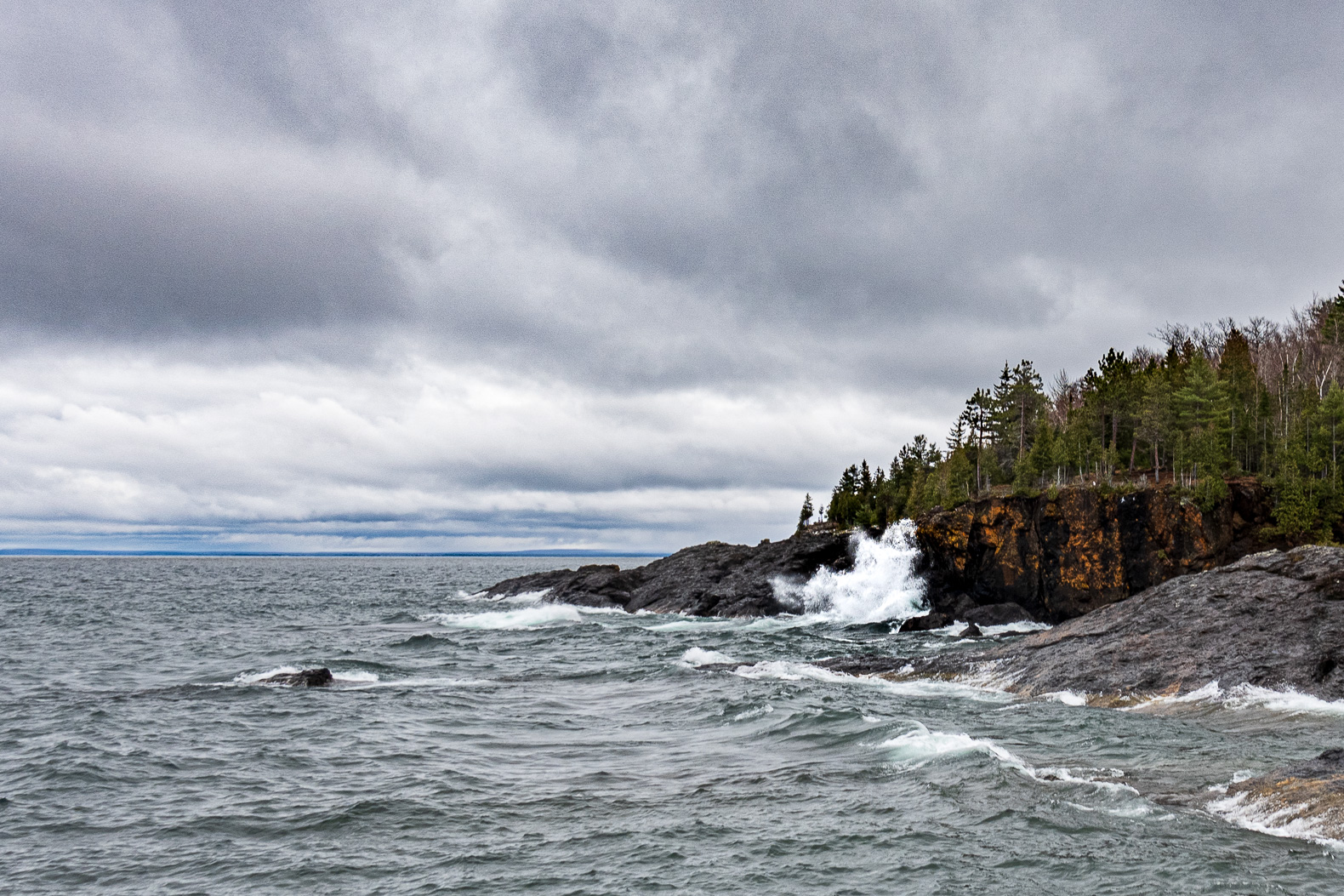
Moving across the rocks to the east, I had a view of the rocks with the Harvey coastline in the distance.
The deep green water swirling up against the rocks was very pretty.
Every so often, a wave would catch the rocks just right and provide quite a spectacle.
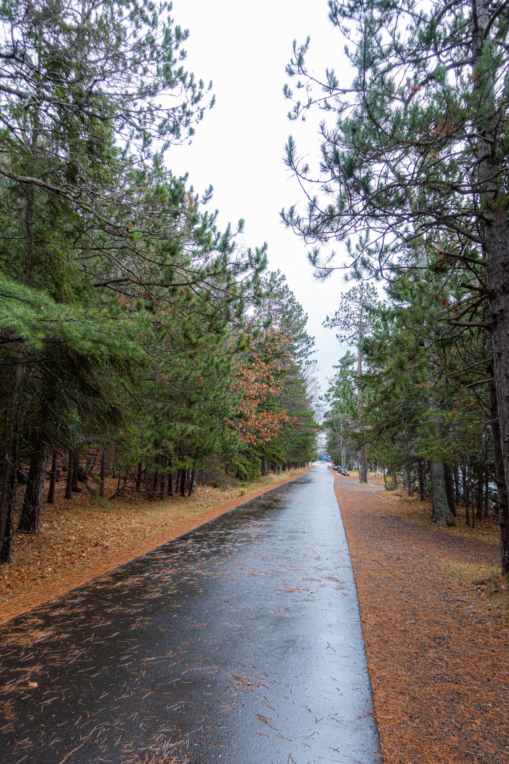
Walking back on Peter White Drive was peaceful compared to the roar of the lake around the rocks.
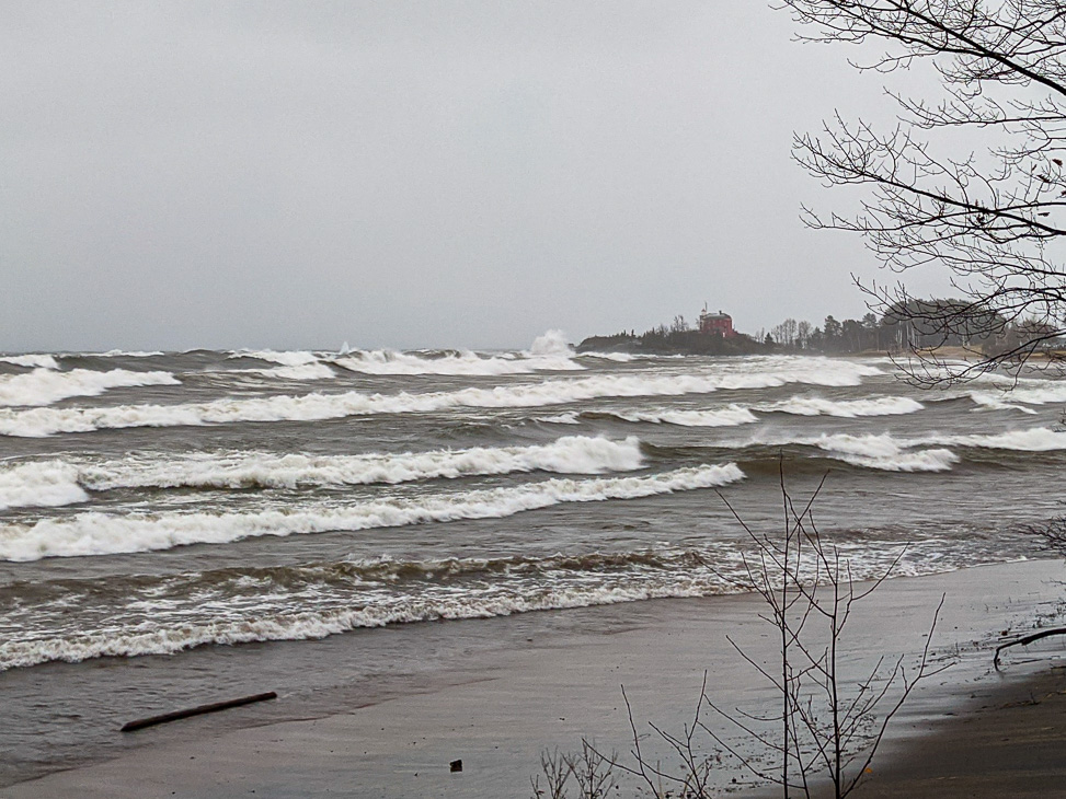
The storm came on in earnest on the Wednesday before Thanksgiving. The lake was roaring. With the driving snow, it was hard to get a good picture. And it really is too hard to capture the scale of the waves crashing into the shoreline and bursting on the rocks. Here is my one picture from the day of the storm. This is taken from Picnic Rocks Park looking east toward the Marquette Harbor Lighthouse.
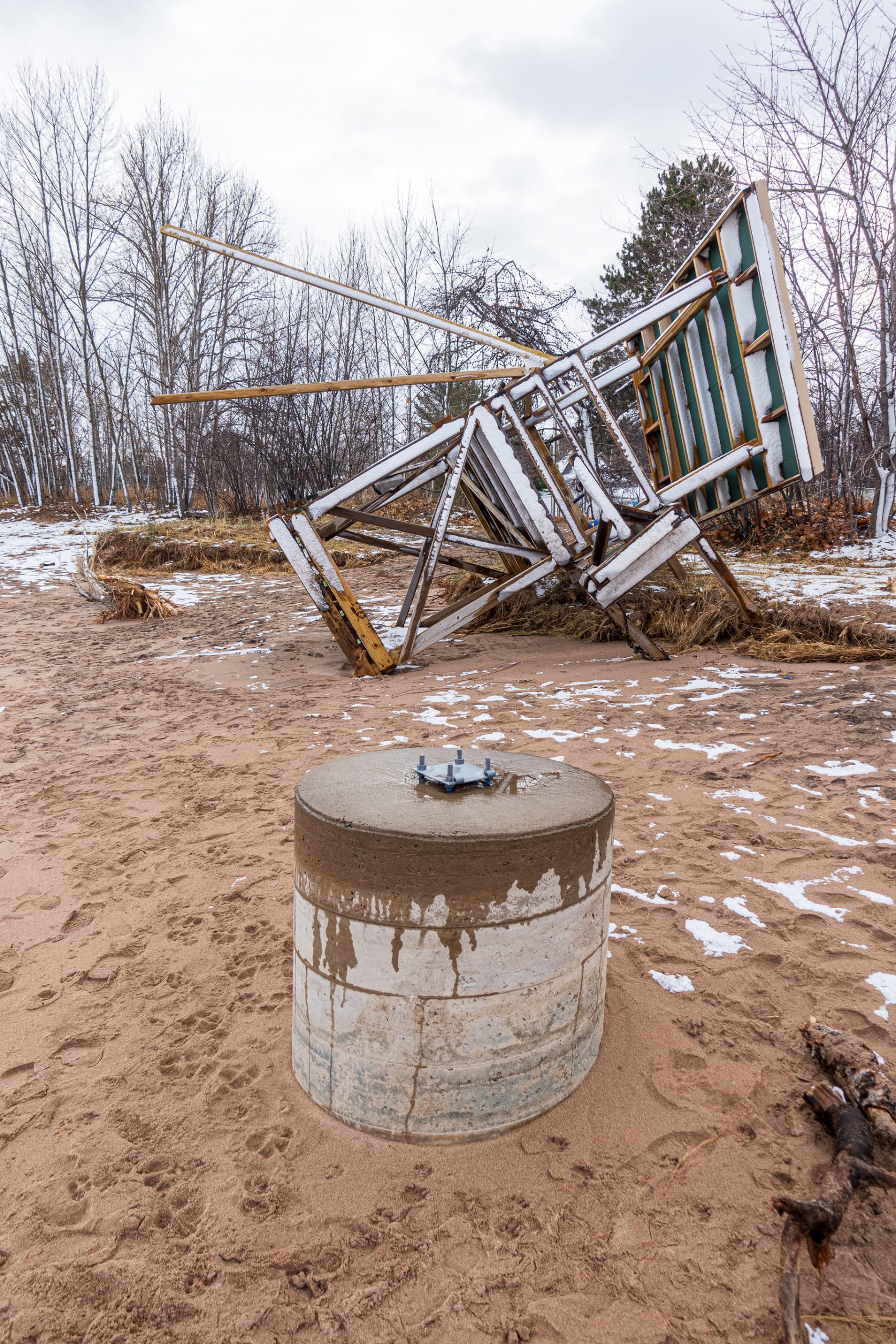
We spent Thanksgiving with family, but returned to the beach near Picnic Rocks on Friday. This was a serious storm. It took out this lifeguard station.
From the fury of Wednesday to the calm of Friday.
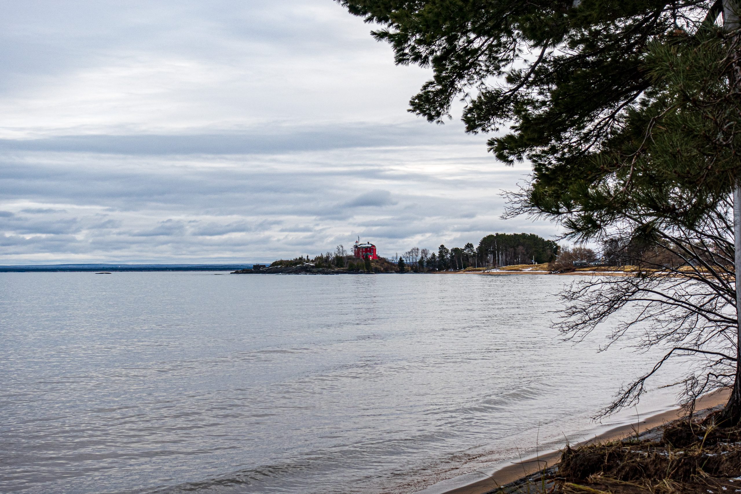
The sky was still overcast, but the lake was peaceful.
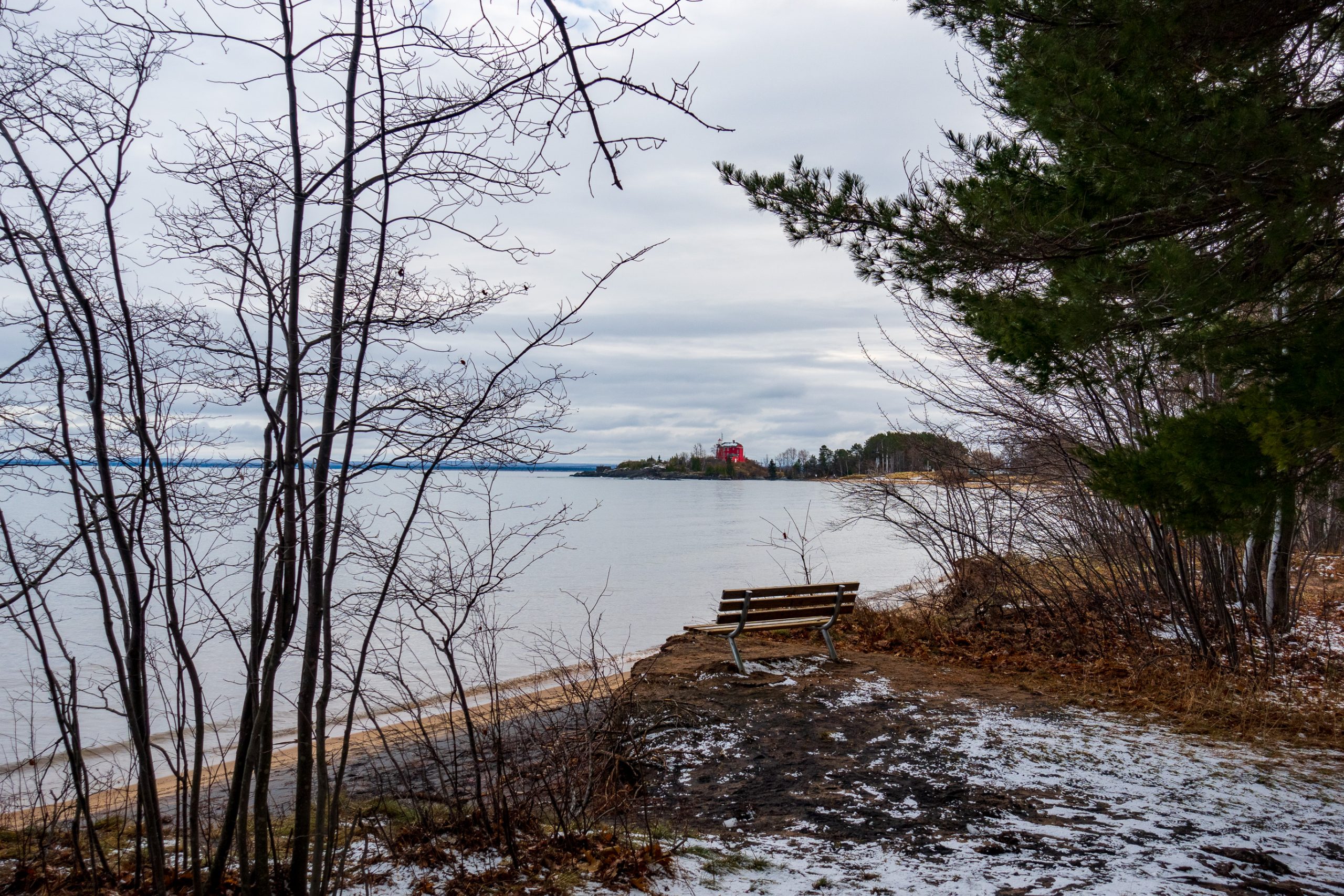
This bench got a little closer to the edge of the shoreline over the last 48 hours, but it made it through the storm.
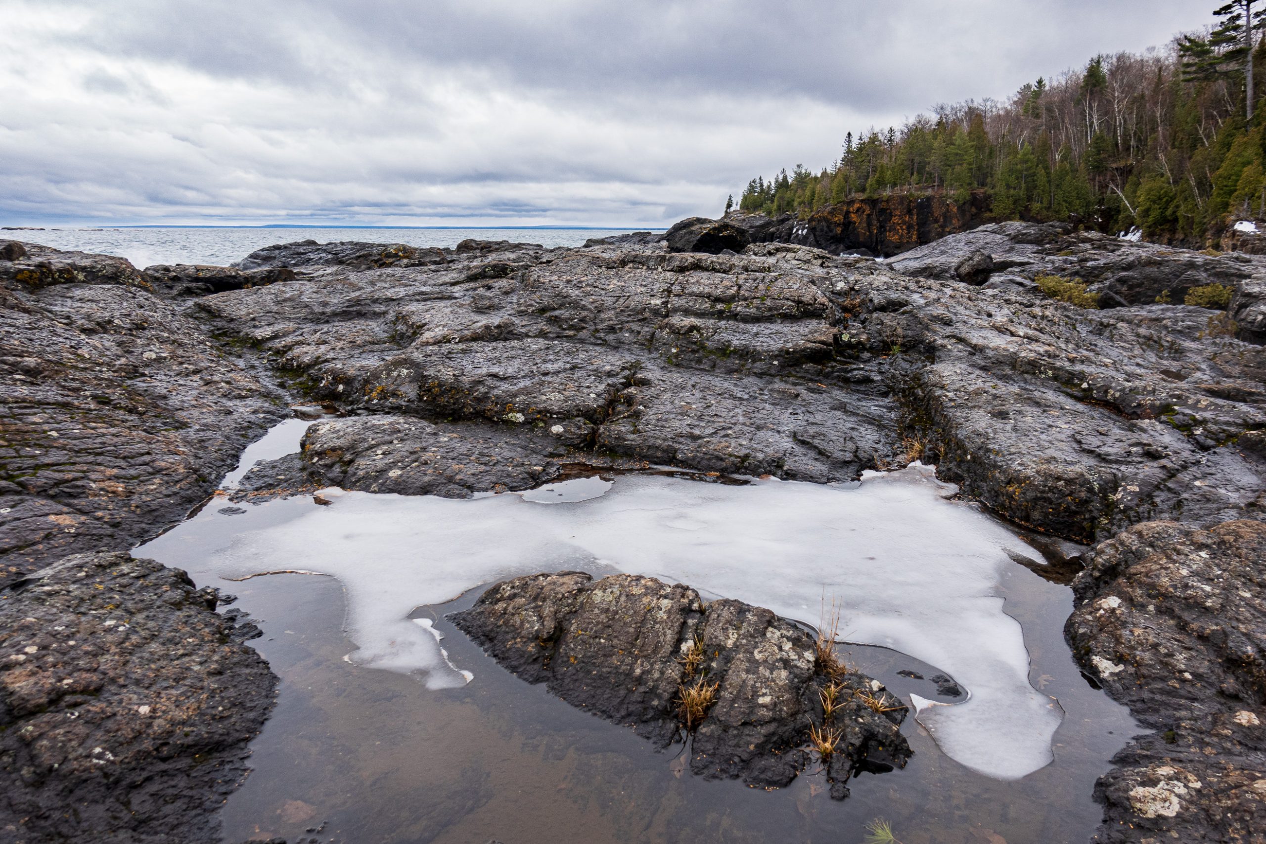
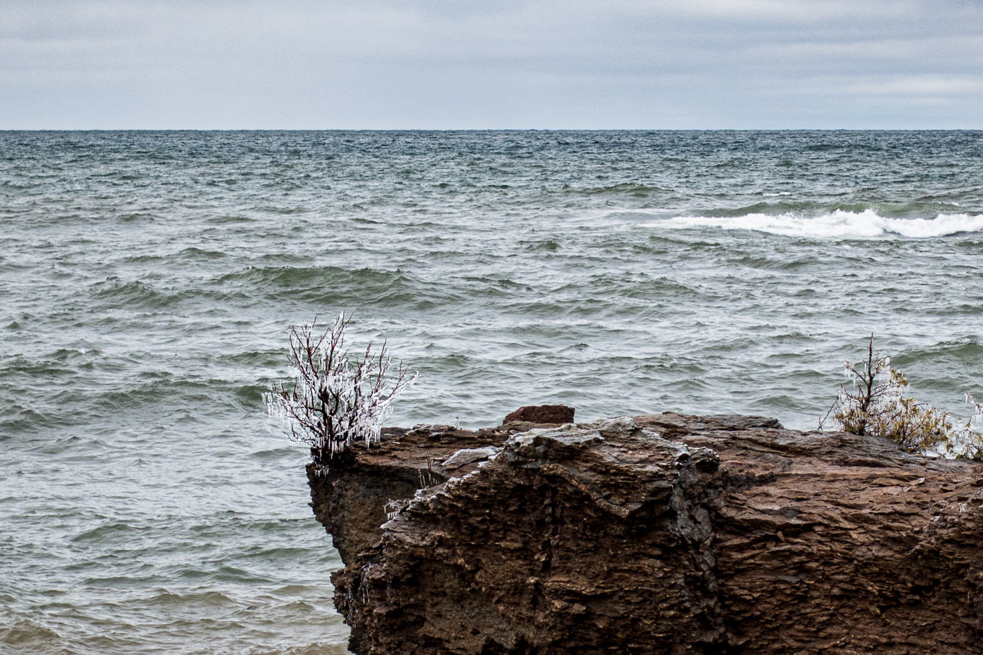
We went back out to Black Rocks to see how Presque Isle fared in the storm. The splashing water coated many plants with ice.
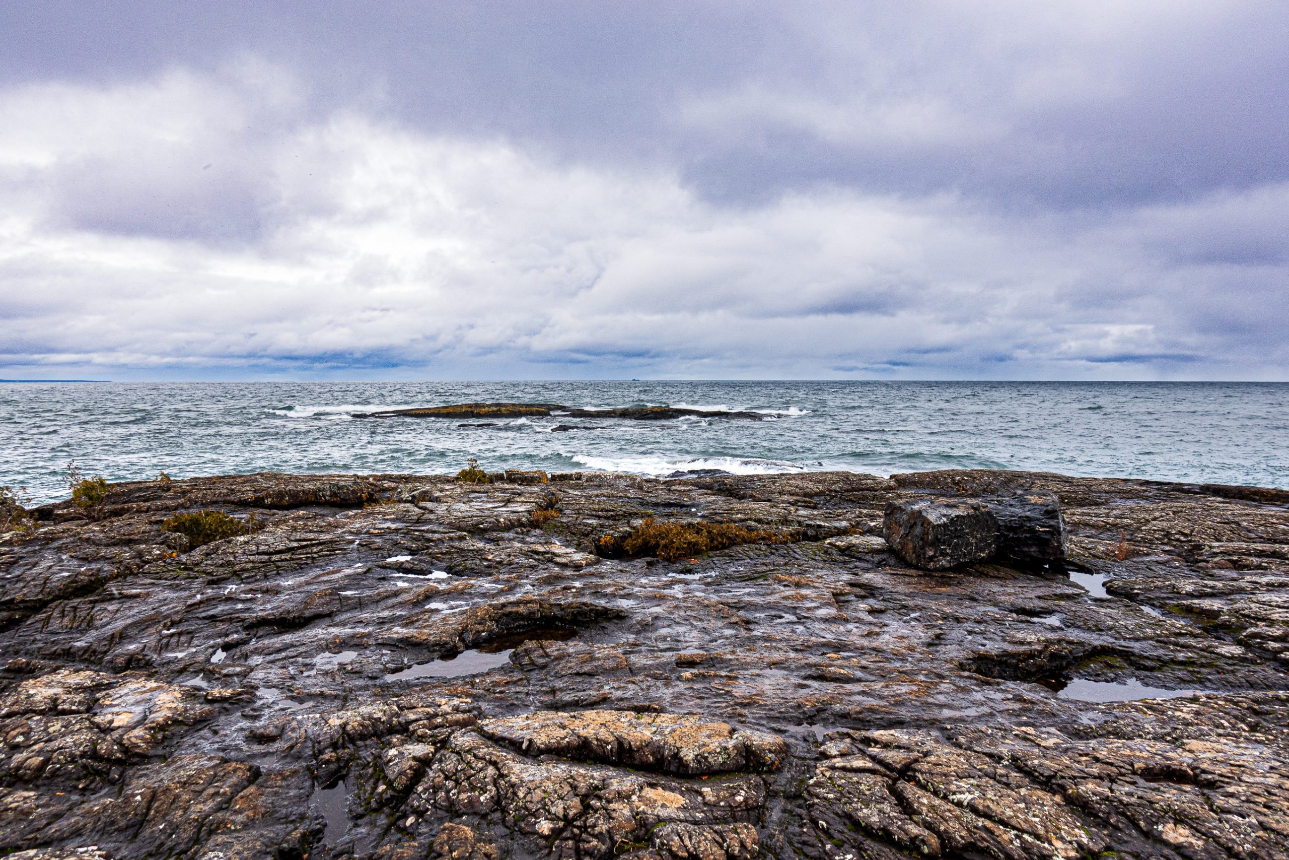
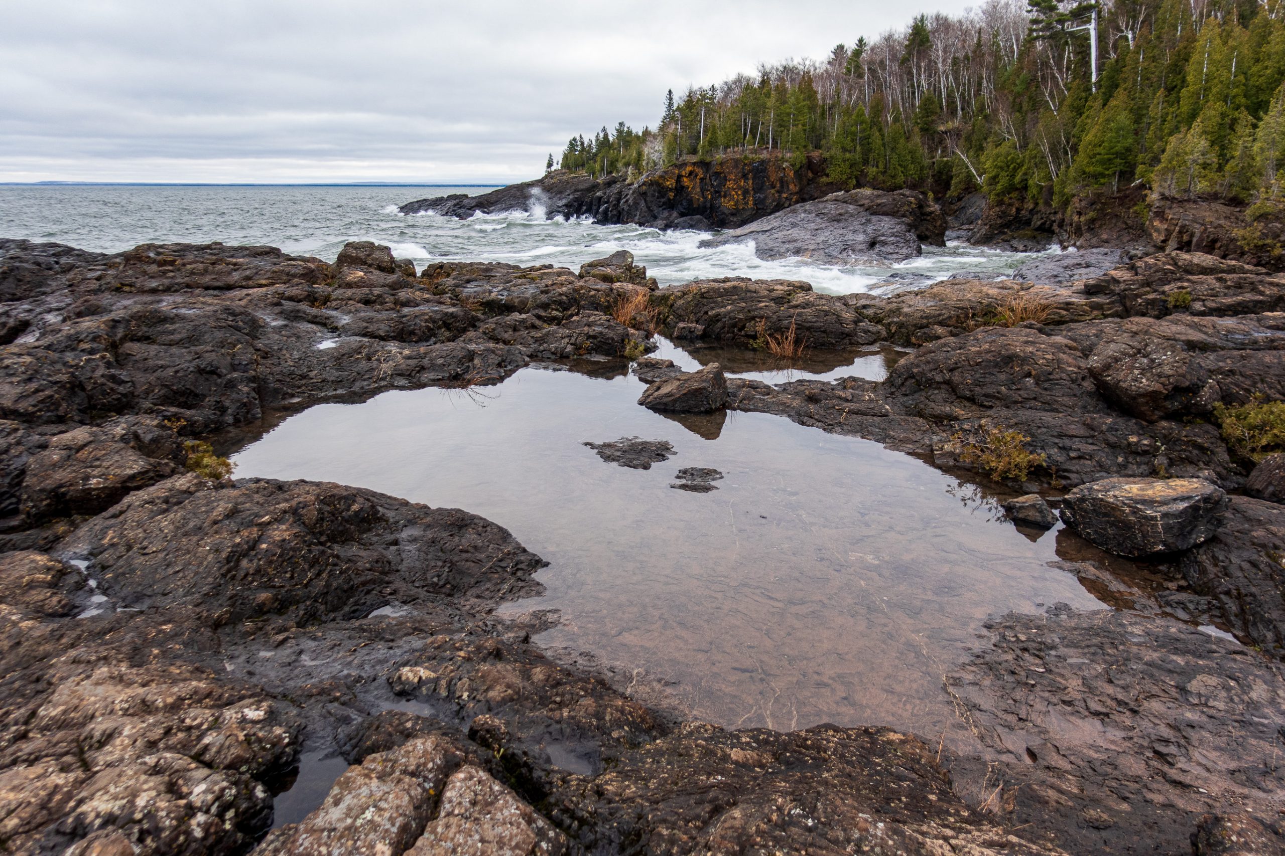
The water was still churning against the Presque Isle lake shore.
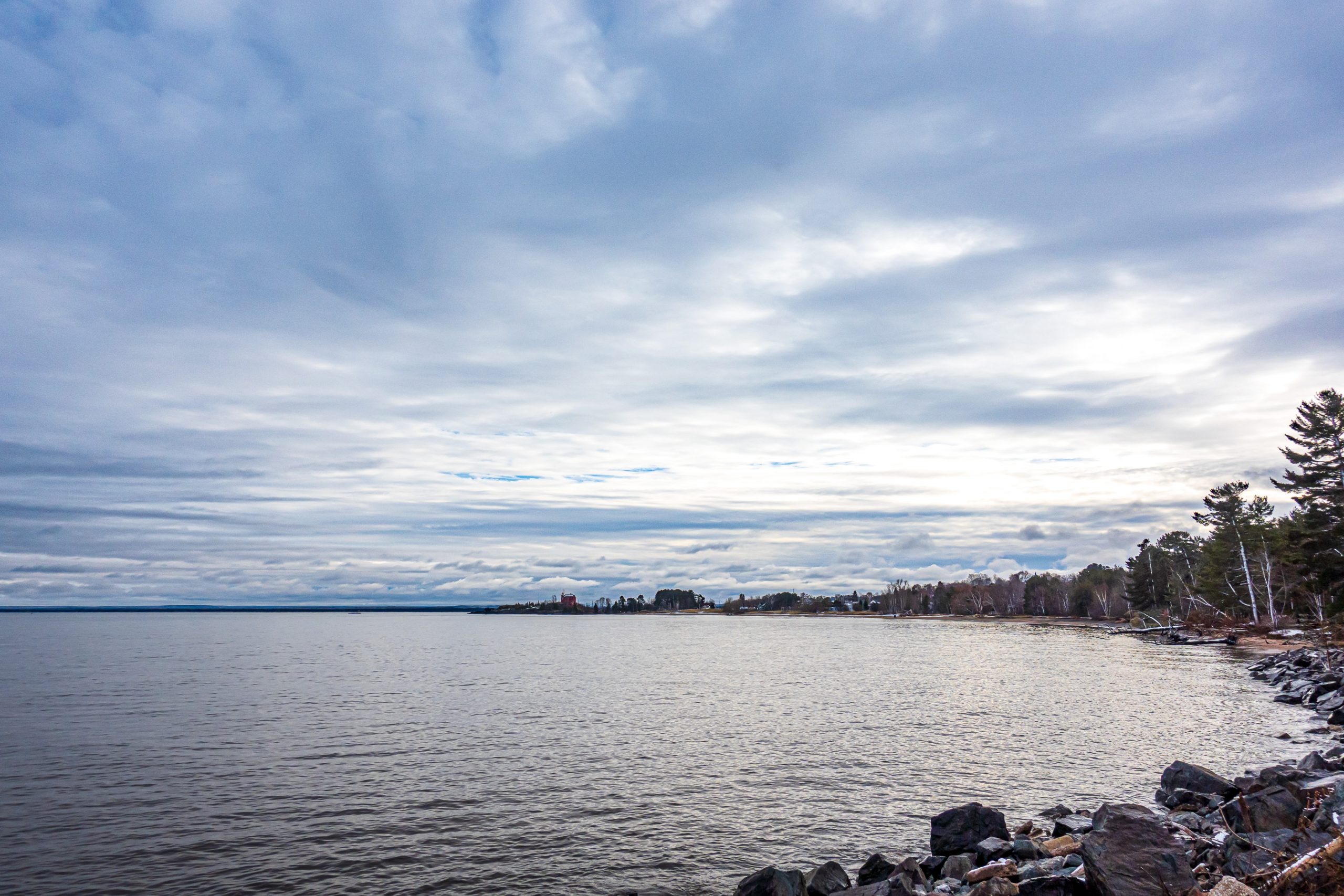
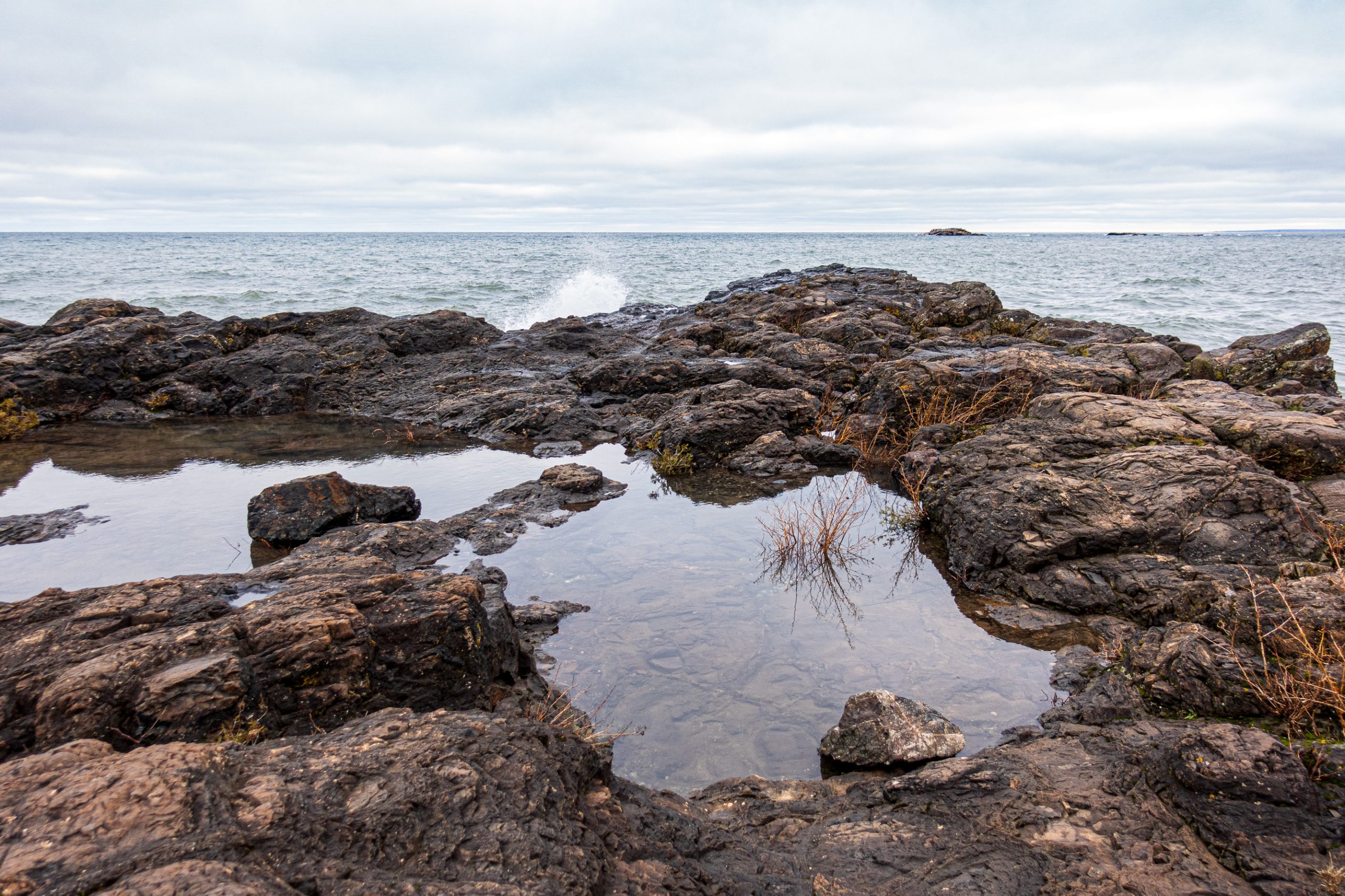
Looking northeast into the typical grey but beautiful November sky and lake, anticipating the snow and ice to come.
And now repeating this picture so Facebook picks it up as the post thumbnail.
You must be logged in to post a comment.