This is the second post (the first is here) on our trip to Lonavla and documents our trek to Tung Fort. Tung Fort was built before 1600 by the Adil Shahi dynasty and was captured by Chatrapati Shivaji in the 1670s as he built the Maratha Kingdom. It is s small fort, holding no more than 200 soldiers and served mainly as a lookout. The nearby forts of Lohagad and Visapur could be signaled from Tung, with Tung having a great view of the countryside. (I took a trek to Lohagad Fort back in 2013.)
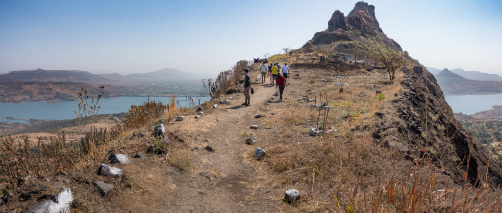
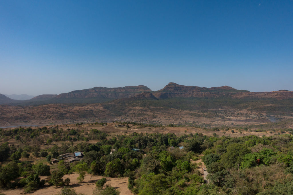
Tung Fort is about 12 miles (20 kilometers) from Lonavla, and is on the Western Ghats, where the higher Deccan Plateau gives way to the coastal plain also known as the Konkan. The erosion of the basalt leads to beautiful flat-topped peaks that overlook valleys below. My teaser image to keep you reading the whole post is a panorama looking east across the fort, with the relatively small area of the fort visible. The knob just to the right of the fort is Tikona Fort.
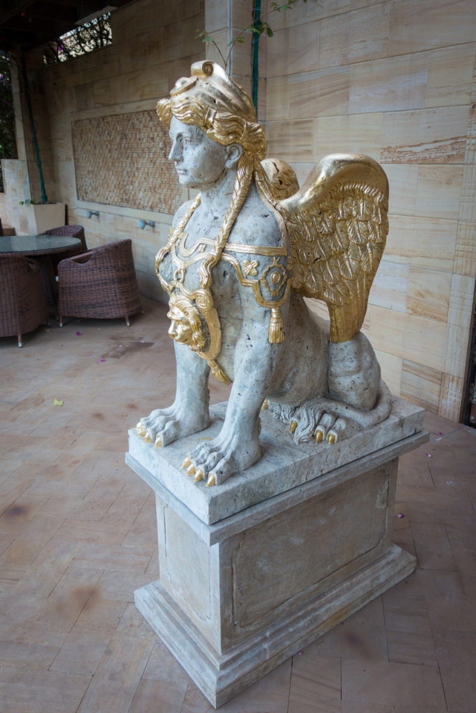
Now to return to the trip narrative. We left off in the last post at Della Resort, watching the Sun set. The next day started clear and beautiful. I was greeted by Della’s statuary.
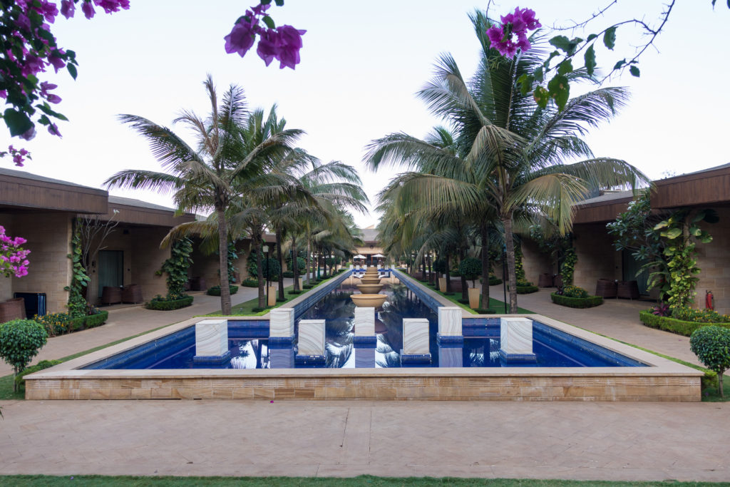
I was a peaceful, cool morning.
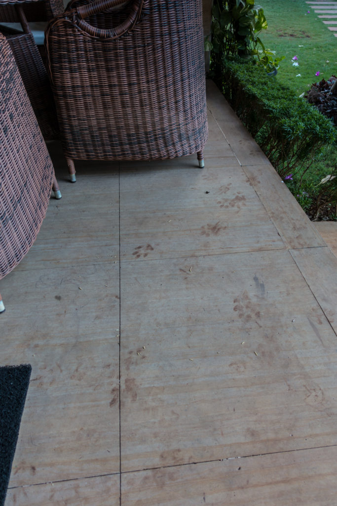
Evidence of some nighttime visits outside the door to my room.
The 12 mile (20 kilometer) drive was quick. You head out of Lonavla toward Amby Valley and turn off toward Tung at Ghusalkhamb. You take the same road you would take to get to the Tungi Club Mahindra Resort, which is below the fort.
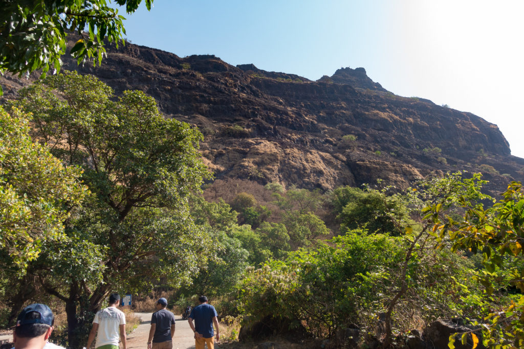
There is a parking area at the base of the trail and there is a small temple there. You can see the top of the fort on the top right in the picture below. The top of the fort is at 3,525 feet (1,075 meters) above sea level, and the climb we face is 770 feet (235 meters) from the base.
We quickly reached a height where you have great views. This is looking to the southwest.
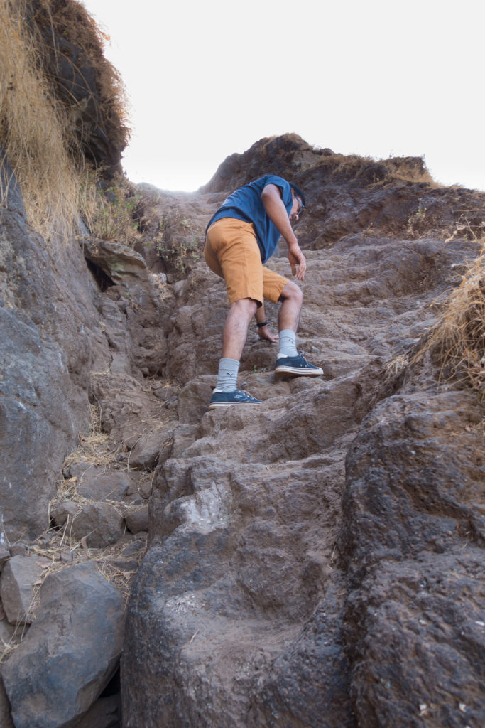
According to Wikipedia, “Tung fort is also named Kathingad fort. The word “Kathin” in Marathi means difficult.” You can see that the path is almost vertical.
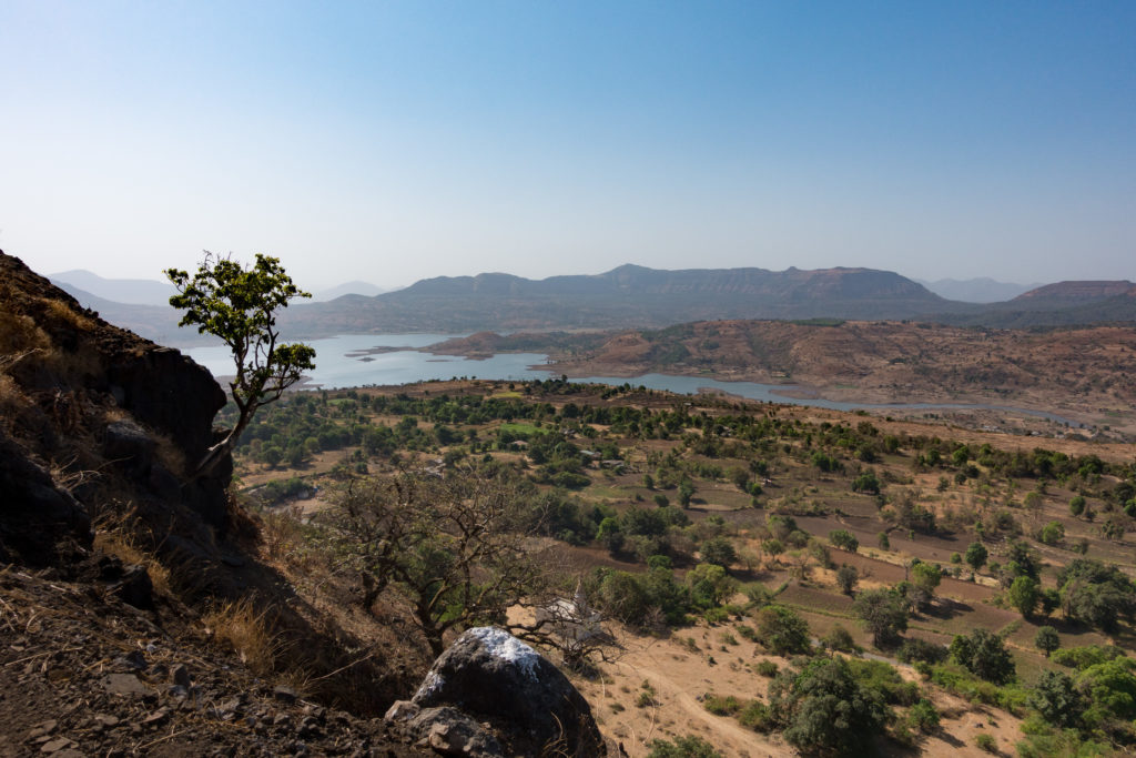
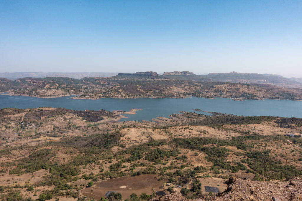
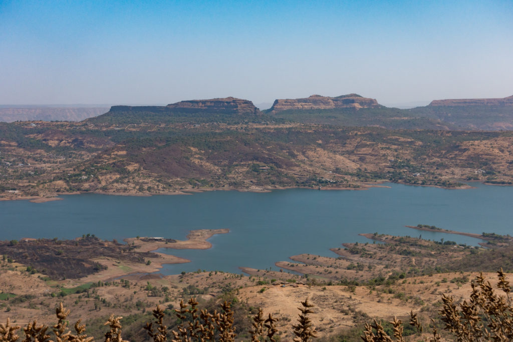
Pawna Lake seen from about half way up the side of the mountain.
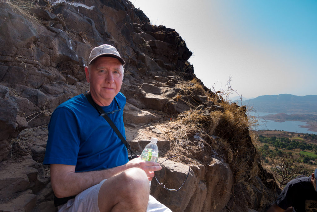
Here I am resting from the almost vertical climb.
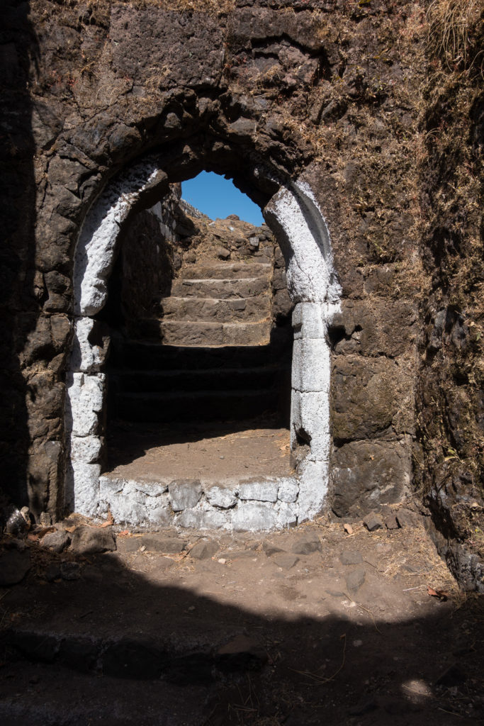
The entry way is well fortified. So if you, as an attacker, made it this far, you had more work ahead of you. The white paint had been put all along the trail, making it clear where to go.
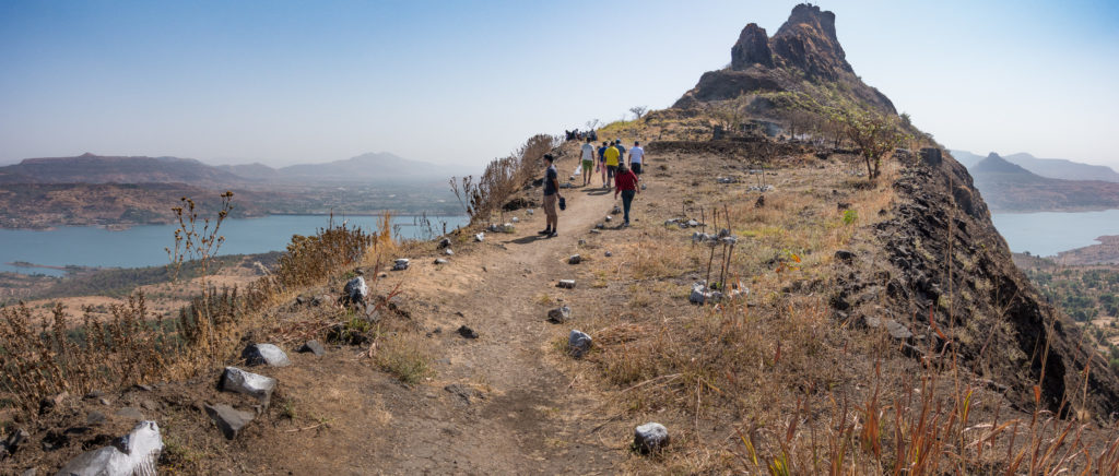
This is the panorama from above. It is looking east from the west end of the fort.
A group of high school age students joined us on the fort.
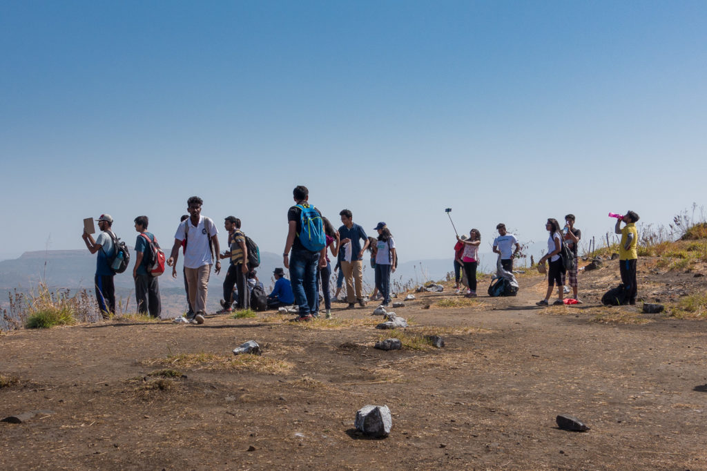
While we were on the fort, a group of what appeared to be high-school students arrived. Note the iPad photo and the selfie stick.
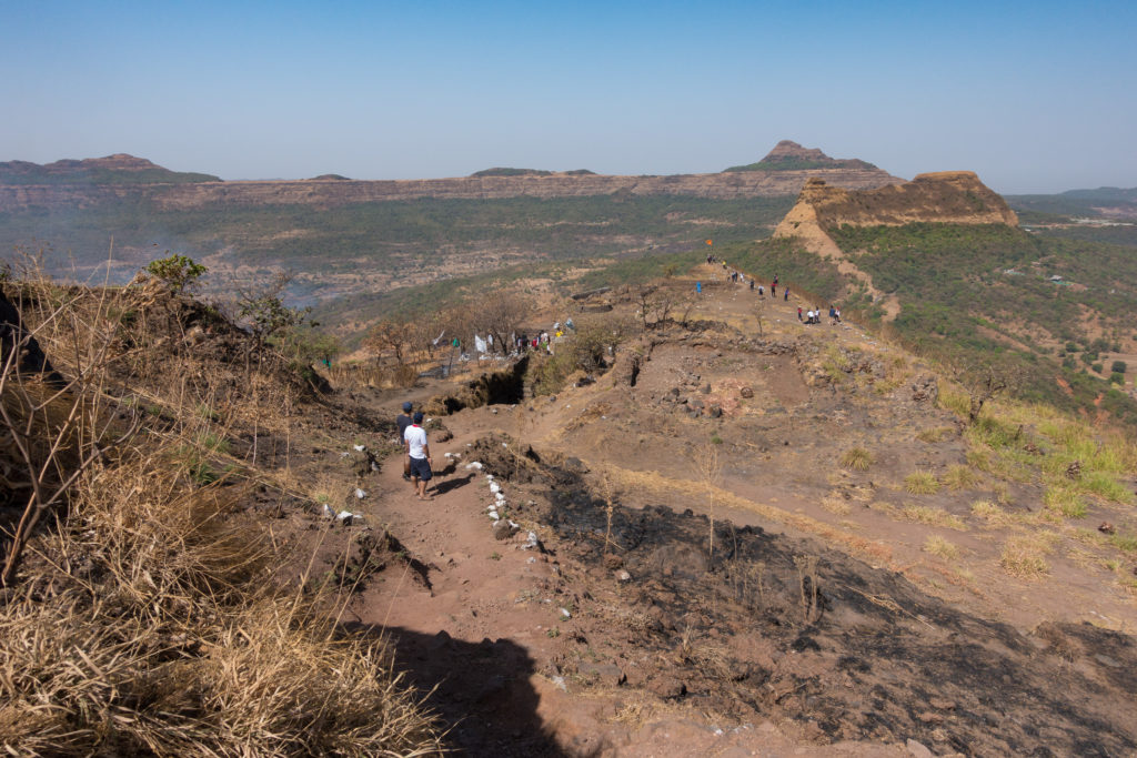
This is taken from the mid-point of the fort, looking west. The panorama was taken from near the orange flag that is at the west end of the fort in the upper middle part of the picture.
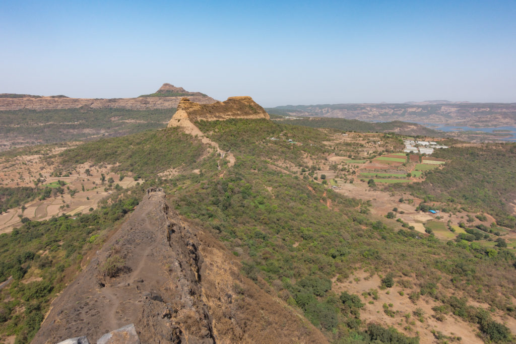
The next two shots are from next to the orange flag at the west end of the fort. Note the small rampart in the foreground. The geography and views are amazing in this area.
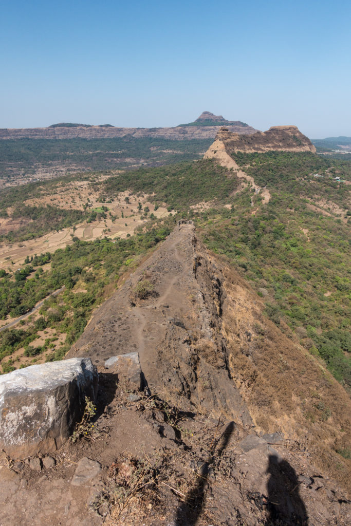
Looking west from the point almost at the end of the fort — a small rampart is in the center of the frame
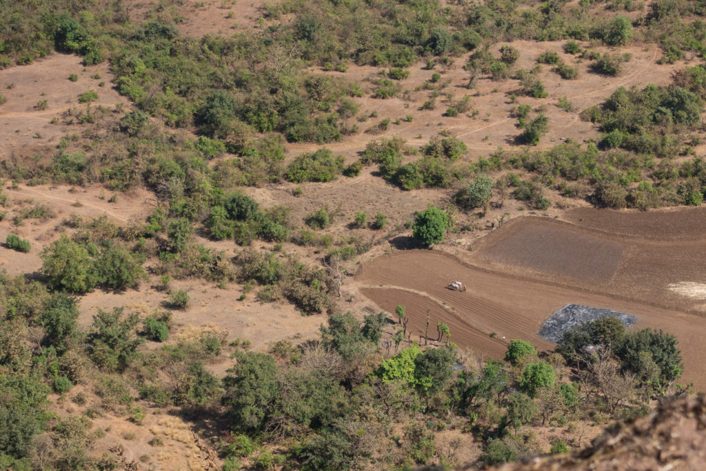
Looking down on the north side of the fort, I saw this man plowing his field with oxen. It must be hot work.
With the man plowing the field in the low foreground, you can see Lohagad Fort, Visapur Fort, and Bhatarashi mountain in the distance.
Lohagad Fort is on the left, Visapur Fort on the right. Pawna Lake is in the foreground.
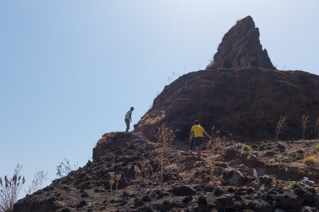
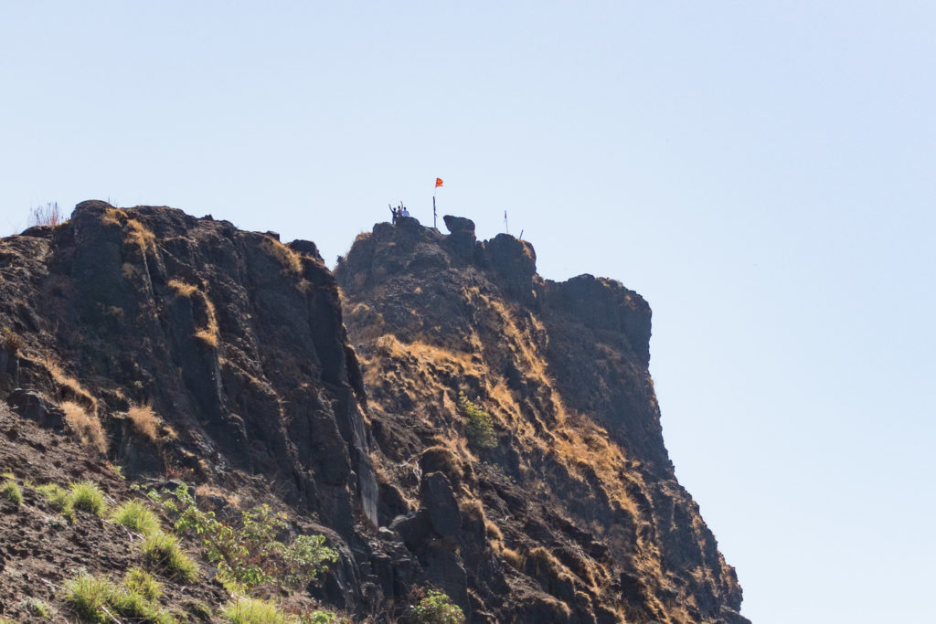
Some of our group decided to go to the very top of the fort. I am afraid I declined. Too many places exposed with a 700 foot drop just a foot away.
They did make it to the top.
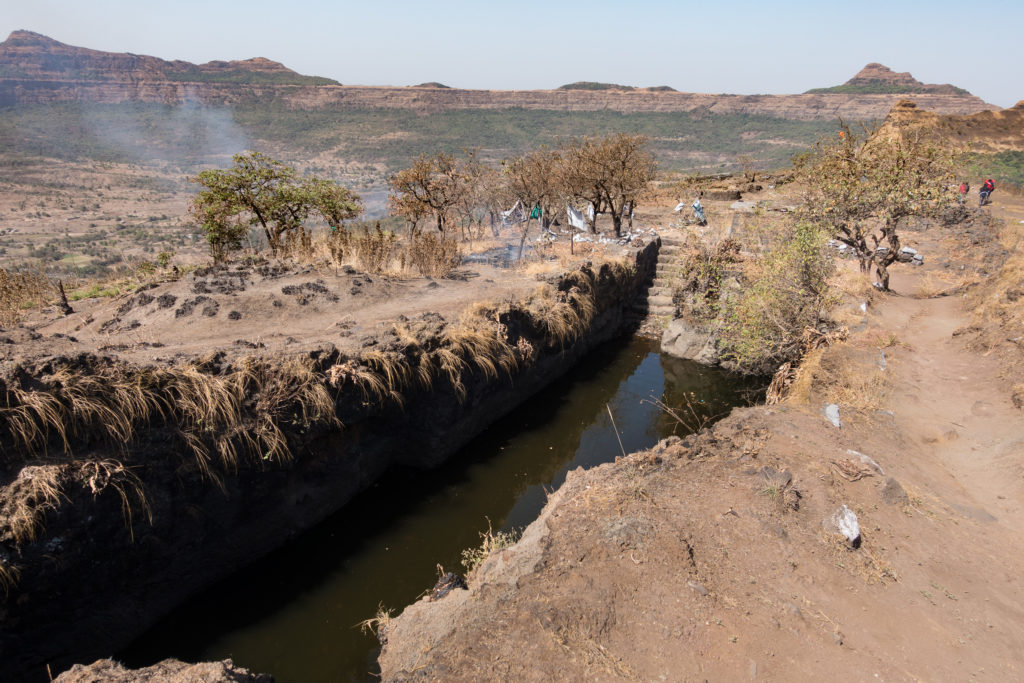
The cistern had water left over from the monsoon that had ended six months earlier.
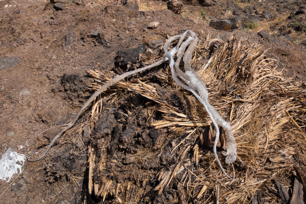
We came across these snakeskins, but thankfully no snakes.
One of our group found the best spot on the fort. It was a nice shady spot with a good breeze.
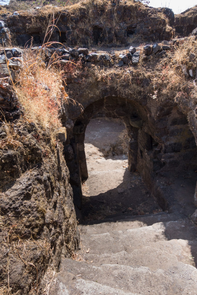
Having thoroughly explored the fort, we started our trek down. This is the inner entry way seen from the inside. I would not want to be part of the forces trying to take this fort.
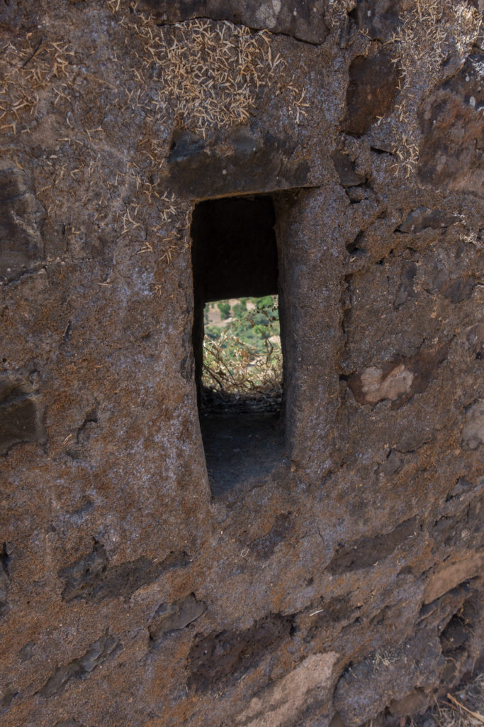
All along the remaining walls were these arrow / weapon firing holes. This is a very defensible fort. The biggest military risk would be a siege.
This is the trail leading to the small battlement by the orange flag on the west end of the fort. Note the white paint marking the trail.
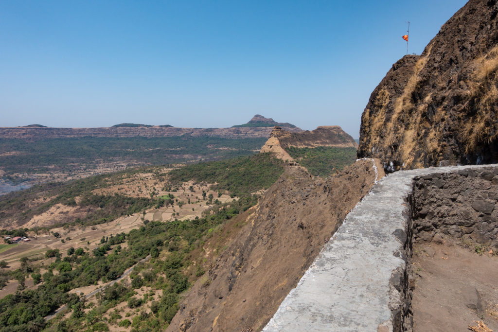
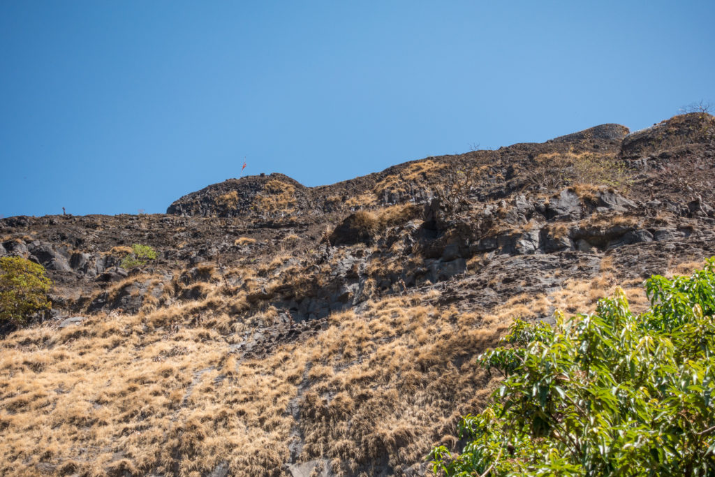
From the entry way you can see the orange flag on the west end of the fort as well as a path to a small battlement at the far west end.
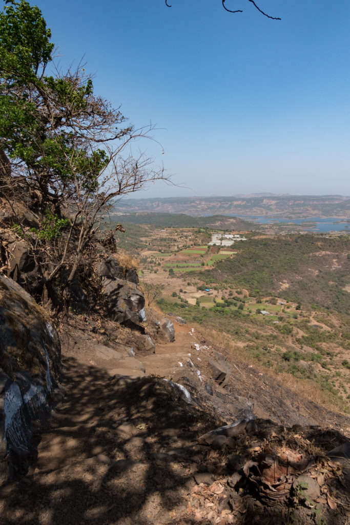
Steep much?

You must be logged in to post a comment.