We visited beautiful Anacortes, Washington over Easter break and took a nice day trip to the north end of Whidbey Island, to Deception Pass State Park.
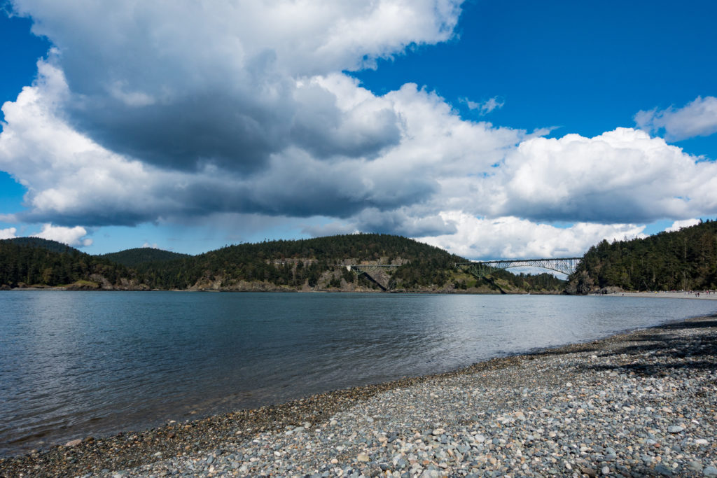
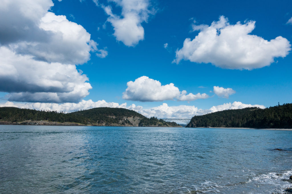
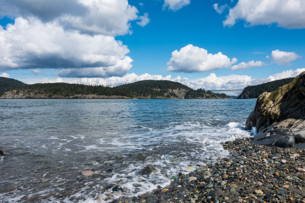
Here is a beautiful view of the Deception Pass Bridge from North Beach. Just to keep you interested.
Deception Pass was named by George Vancouver in 1792 when he learned that his officer Joseph Whidbey had missed seeing the strait from the east side of Whidbey Island during a sortie several months earlier. The hidden pass “deceived” the explorers, hence its name. The Wikipedia write-up is quite good.
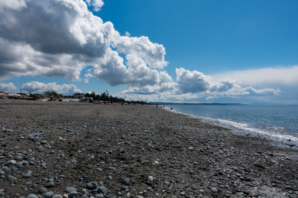
Once enters Deception Pass State Park from the Whidbey Island or south side of the strait. There is a large parking lot next to Strawberry Lake near West Point on the west coast of the island at its north end. West Beach, along Puget Sound, is rocky. This view looks south. The mountains in the distance on the left are the Olympic Range.
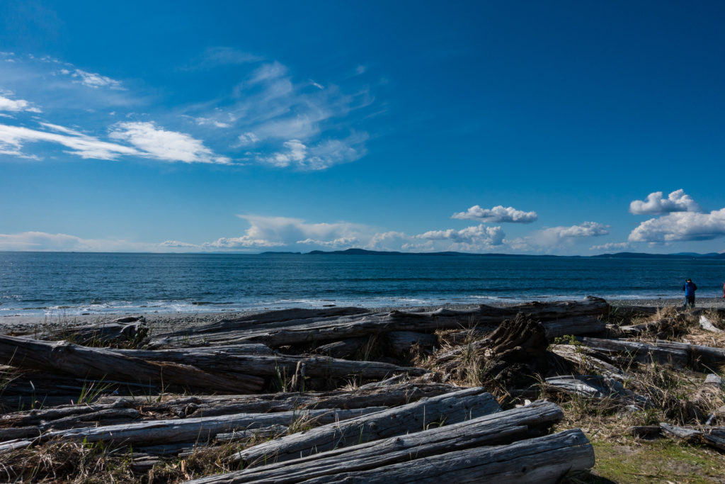
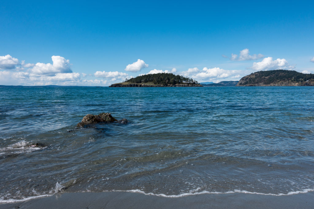
This view looks west from West Beach with Lopez Island, one of the San Juan Islands, in the distance in the middle of the frame. And people say the weather in the Pacific Northwest is bad. Hah.
Our walk took us from the parking lot north to West Point, then we turned east along North Beach and returned via a forest path to the parking lot. This is a view from West Point looking northeast toward Deception Island. Note that this is not the Deception Island in Antarctica.
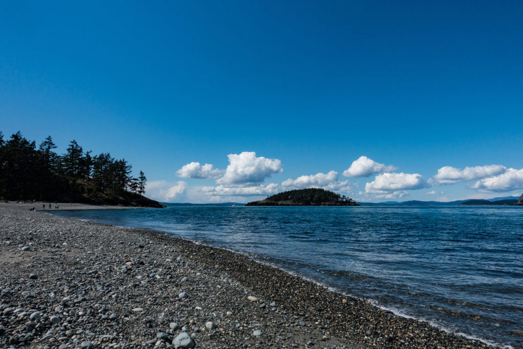
Looking west back out into Puget Sound from North Beach with Deception Island in the middle of the image.
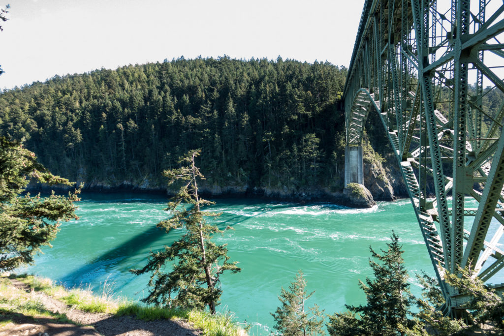
As one walks toward the narrow of the strait, it is hard not to take multiple pictures of the bridge and the narrow strait. This is from the west end of North Beach.
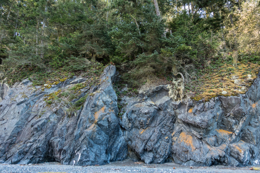
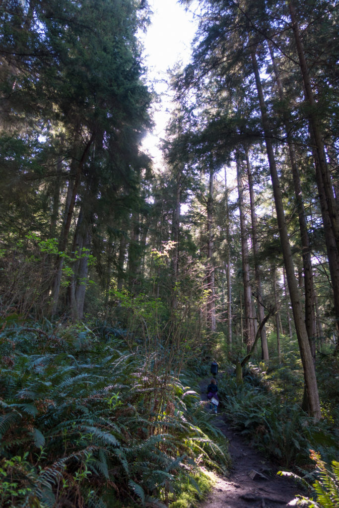
The area along North Beach is well forested and green from the winter rains.
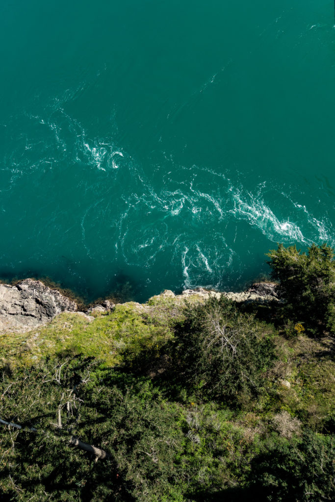
We arrived at the park just after low tide. By the time were walking down North Beach, the tide was beginning to flow very quickly. More shots of that below in the pictures from Pass Island.
Having reached the east end of North Beach, we returned to the car on a beautiful path through the forest.
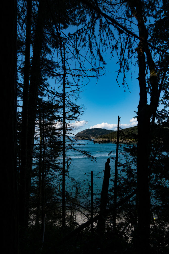
You could see out between the trees to Lighthouse Point and Bowman Bay.
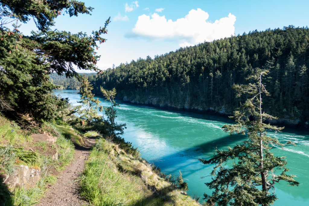
Having completed our walk, we started our drive back to Anacortes. We were lucky to get a parking place on Pass Island, the island connecting the two spans of the Deception Pass Bridge. The tide, flowing at about 8 knots, is quite impressive, with a continual roar of the water as it churns and flows through the narrow channel.
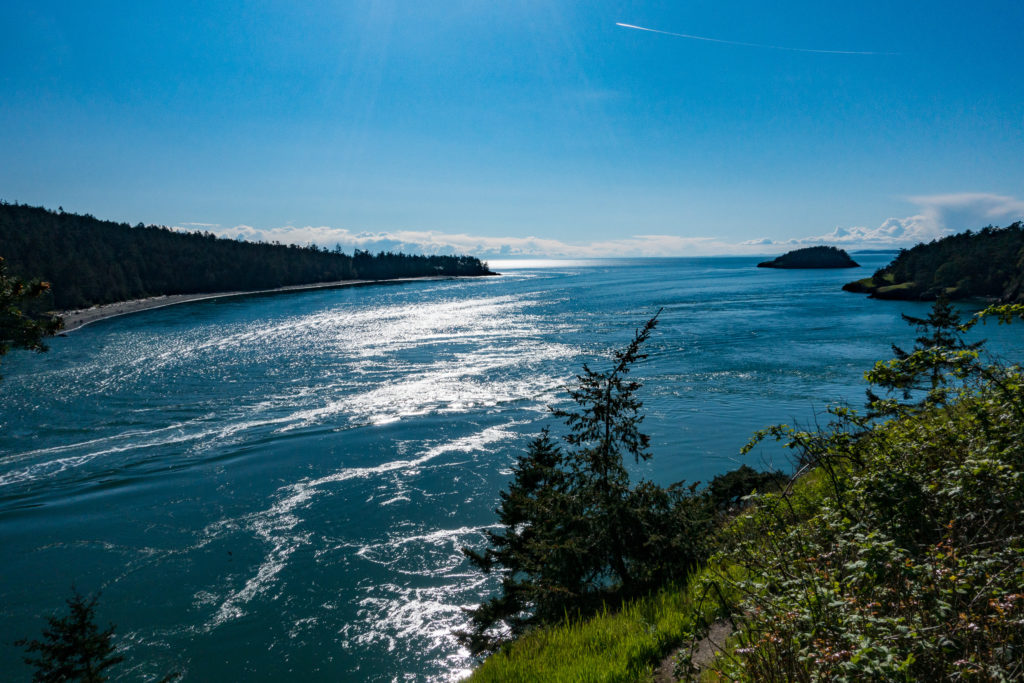
Looking west from Pass Island into Puget Sound you can see Deception Island on the right with Lopez Island in the distance.
Looking east, one can see Strawberry Island in the foreground just beyond Pass Island, with the Skagit Sound in the distance. The edge of Ben Ure Island is on the left/south side of the channel with most of the island obscured. There is a very interesting story in the Wikipedia article on Deception Pass about human smuggling based on Ben Ure island:
In the waters of Deception Pass, just east of the present-day Deception Pass Bridge, is a small island known as Ben Ure Island. The island became infamous for its activity of human smuggling of migrant Chinese people for local labor. Ben Ure and his partner Lawrence “Pirate” Kelly were quite profitable at their human smuggling business and played hide-and-seek with the United States Customs Department for years. Ure’s own operation at Deception Pass in the late 1880s consisted of Ure and his Native-American wife. Local tradition has it that his wife would camp on the nearby Strawberry Island (which was visible from the open sea) and signal him with a fire on the island’s summit to alert him to whether or not it was safe to attempt to bring the human cargo he illegally transported ashore. For transport, Ure would tie the people up in burlap bags so that if customs agents were to approach he could easily toss the people in bags overboard. The tidal currents would carry the entrapped drowned migrants’ bodies to San Juan Island to the north and west of the pass and many ended up in what became known as Dead Man’s Bay.
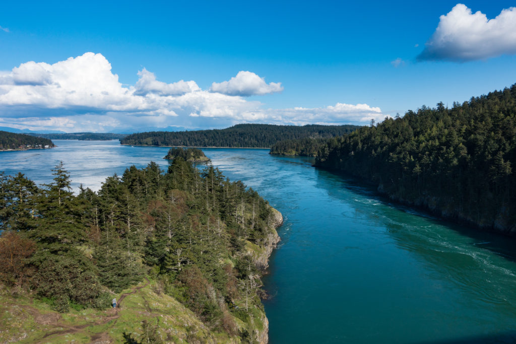
The small island in the center is Strawberry Island with the tip of Ben Ure Island visible on the right of the channel
In my research for this post, I have discovered that neither Fidalgo Island, where Anacortes is located, nor Whidbey Island are formally part of the San Juan Islands. The San Juan’s official definition are the islands between Rosario Strait and Haro Strait.

You must be logged in to post a comment.