
On Memorial Day weekend, we took a hike up Cedar Springs Trail in the San Jacinto National Forest. The trail starts about three miles up Morris Ranch Road in Garner Valley. The trail is shown on Google maps as Pathfinder Road. You turn north on Morris Ranch Road from CA Highway 74 (the “Palms to Pines Highway”) at the fire station in the village a few miles west of the junction with CA Highway 371.
The trail head is clearly marked.
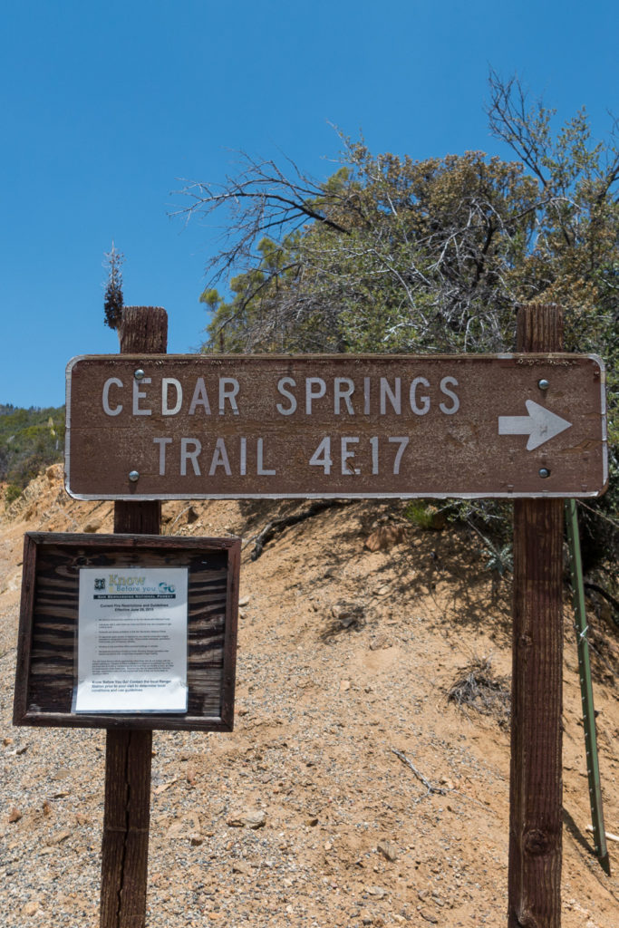
Cedar Springs Trail is at the end of Morris Ranch Road on the north side of Garner Valley
The San Bernardino National Forest hiking guide describes the trail as follows:
Cedar Springs Trail (4E17) This moderate trail begins on Morris Ranch Road 4 miles north of Hwy 74. The trail travels through private property; please respect private property rights and stay on the dirt road. This 3.2 mile hike begins at 5760 ft. The trail connects with the Pacific Crest Trail along the Desert Divide south of Palm View Peak at an elevation of 6400 ft. To reach Cedar Spring cross the PCT and continue northeast for one mile.
We only went up the first mile, turning around just where the relatively flat road ends and the switchbacks begin. It was a very pleasant day, with the plants in spring green and blooming. The trail starts wide and flat. Clearly this has been used as a road.
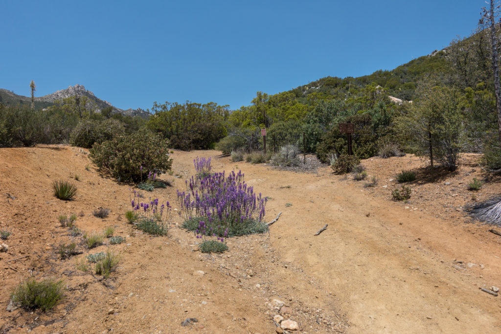
Ther were many wildflowers on the trail
You follow the roadway for a bit, then turn up along a creek. After passing through a gate, you are in a nice meadow.
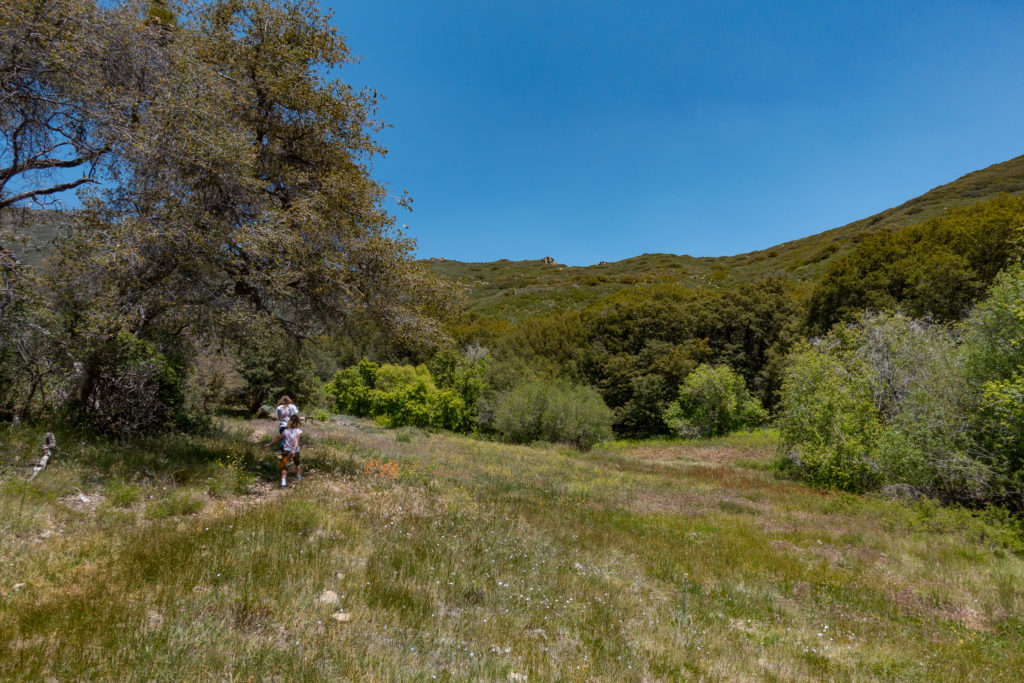
The trail follows a creek for a bit, then opens into a meadow
The trail goes through private property, so they keep you on the trail.
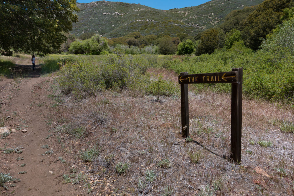
Helpful signs keep you on track
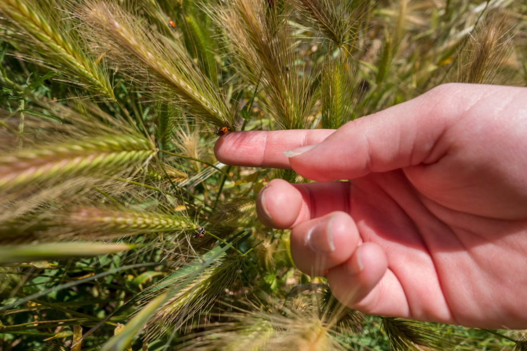
Up near where we turned back, we came to a veritable ladybug fairyland. Thousands of ladybugs were flying about the meadow.
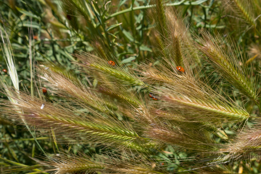
All along the trail were many ladybugs
The grass and flowers had the bugs crawling all over them.
The ladybugs covered the grass and plants
They were swarming!
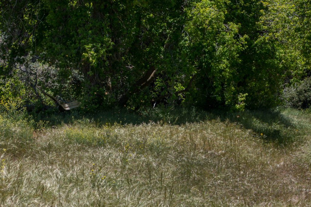
All those little dots are ladybugs
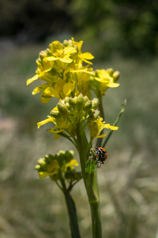
Up close on a flower
The hike down was pleasant, with views of the hills in the foreground and Thomas Mountain in the distance.
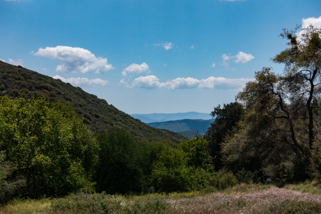
Looking south toward Garner Valley
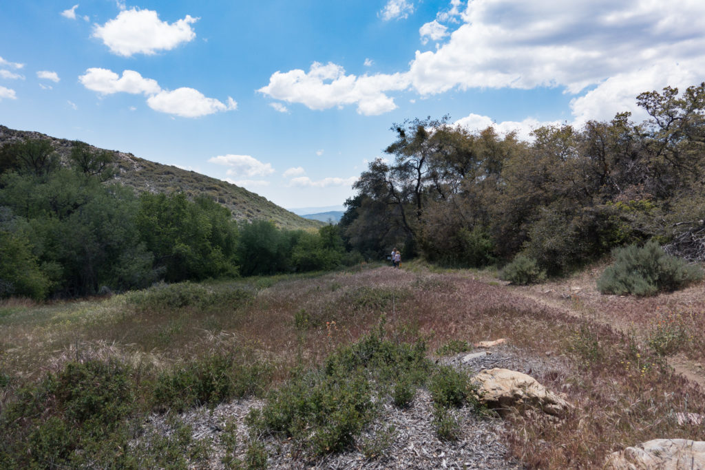
A very pretty view of the meadow on our walk back
The tree-lined trail along the creek is quite pretty.
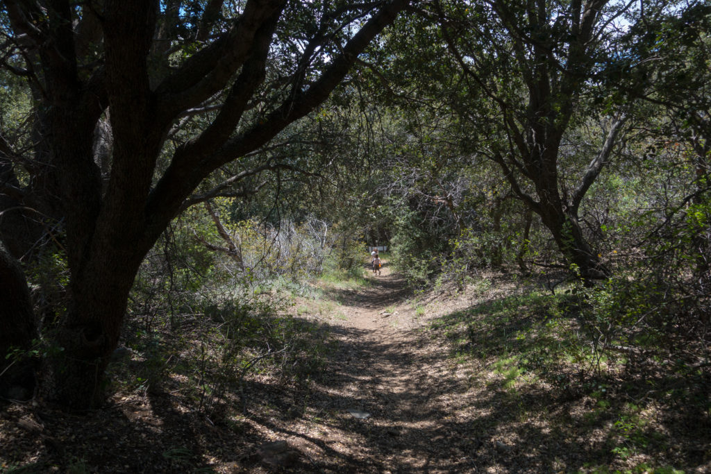
The trail in the woods can be narrow
Many of the Yucca were blooming on the hillsides. We didn’t have the wettest winter, but wet enough that everything green and blooming.
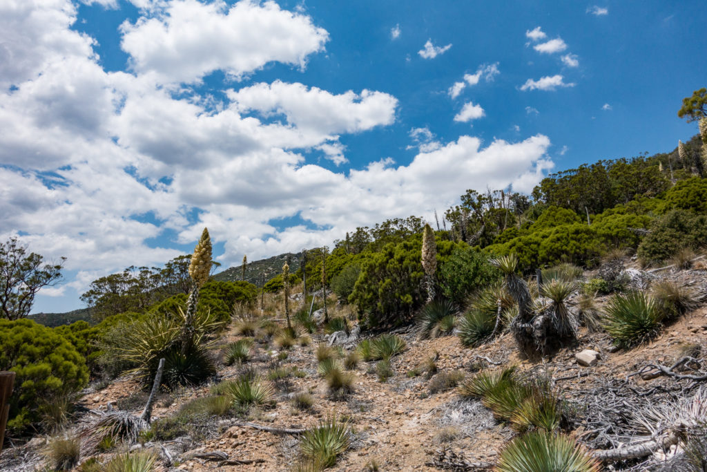
Yucca were blooming all along the trail
One note on the blog. I haven’t had a chance to do much astronomy for the last 18 months or so, so this has become more of a photo / travel blog. That’s not a bad thing and I continue to make my one post per month pace.
You must be logged in to post a comment.